- Population
- 4
- 4
- Elevation
- 855 m
- above sea level
- Local time
- UTC+01:00
- Europe/Rome · UTC+01:00
- Airports
- TRN Turin Airport48 km
- CUF Cuneo International Airport52 km
About Tornini
Tornini is a village. Location: Pramollo, Province of Turin. Population: 4. Elevation: 855 m. The best months to visit are June–September. The nearest airport is Turin Airport (48 km). Nearby sights include Punta Bruta and Monte Robinet.
Climate of Tornini
Best months for sightseeingBest months for sightseeing: June–September.
This month · November
A cold month
Day 9° · Night 2° · Rain 74 mm
- Hottest month
- July (day 24°)
- Coldest month
- January (night -2°)
- Wettest month
- May (105 mm)
- Driest month
- July (54 mm)
Bars: average monthly low and high temperature. Below: precipitation. Monthly averages for 1970–2000 at about 18 km resolution, adjusted for elevation. Highlighted months are mild and relatively dry. Source: WorldClim 2.1 (CC BY 4.0).
Show values as a table
| Month | Jan | Feb | Mar | Apr | May | Jun | Jul | Aug | Sep | Oct | Nov | Dec |
|---|---|---|---|---|---|---|---|---|---|---|---|---|
| Average high (°C) | 6° | 7° | 10° | 13° | 17° | 21° | 24° | 24° | 20° | 15° | 9° | 7° |
| Average low (°C) | -2° | -1° | 1° | 4° | 8° | 12° | 15° | 14° | 11° | 7° | 2° | -1° |
| Precipitation (mm) | 60 | 59 | 62 | 89 | 105 | 84 | 54 | 73 | 81 | 102 | 74 | 62 |
Other places to visit in this season: June July August September
How to get to Tornini
The nearest airport is Turin Airport (TRN), 48 km to the northeast as the crow flies. The nearest large city is Grenoble, 121 km to the west.
Airports
- Turin Airport (TRN) Caselle Torinese (TO) 48 kmnortheast
- Cuneo International Airport (CUF) Levaldigi (CN) 52 kmsoutheast
- Chambéry Aix les Bains airport (CMF) Chambéry 132 kmnorthwest
Nearby large cities
- Grenoble Population: 158.6K 121 kmwest
- Nice Population: 342.7K 134 kmsouth
- Geneva Population: 201.7K 166 kmnorthwest
- Lausanne Population: 139.1K 184 kmnorth
- Villeurbanne Population: 131.4K 206 kmnorthwest
Straight-line distances; road distances are longer. Airport data: OurAirports.
Day trips from Tornini
Within 100 km: 49 historic and cultural sites, 1,163 natural sites, 199 lakes, rivers and coasts.
0–25 km43 places
- L'Eypiol Mountain 21 kmSW
- Jilly Mountain 23 kmSW
- Cottian Alps Mountain 23 kmSW
- Picco Charbonnel Mountain 19 kmW
25–60 km379 places
- Lac Premier Lake 50 kmSW
- Lac Vert Lake 49 kmSW
- Lac Sainte-Anne Lake 44 kmSW
- Lacs de Roure Lake 44 kmSW
60–100 km989 places
- Clapes River 91 kmSW
- Lakes of Vens Lake 69 kmS
- Lac du Vallon Lake 94 kmW
- Lac des Vaches Lake 64 kmNW
Straight-line distances.
Nearby attractions & nature
Everything nearby-
Punta Bruta Mountain, Provence-Alpes-Côte d'Azur Region8.7 km W
-
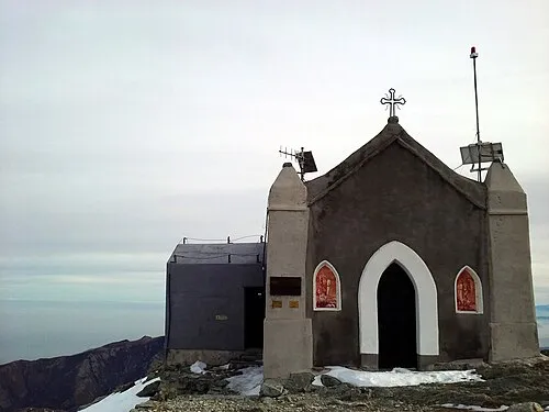 Monte Robinet Mountain, Coazze16 km N
-
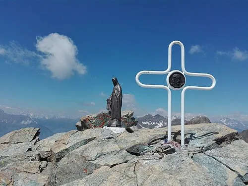 Rocciavrè Mountain, Roure16 km N
-
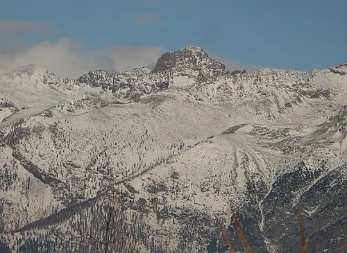 Punta Cristalliera Mountain, San Giorio di Susa17 km N
-
Valli Valdesi Natural site, Piedmont12 km SW
-
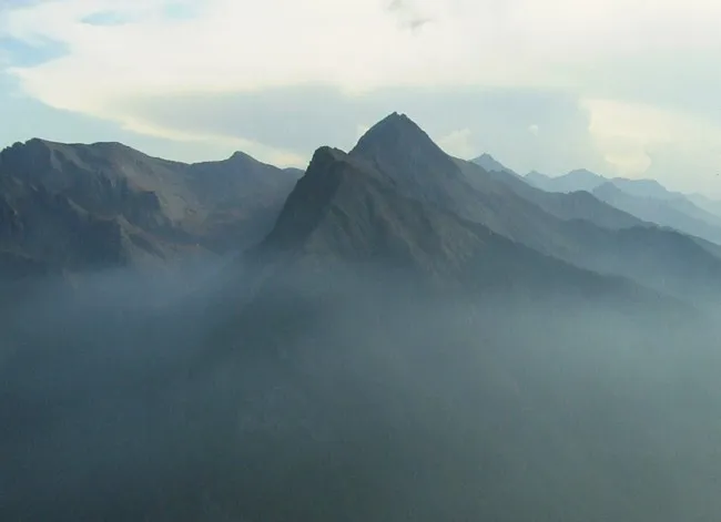 Monte Albergian Mountain, Massello20 km NW
Sources & licences
Data last updated: · 2 independent sources