- Population
- 682
- 682
- Elevation
- 456 m
- above sea level
- Local time
- UTC+01:00
- Europe/Rome · UTC+01:00
- Airports
- MXP Milan Malpensa International Airport34 km
- LUG Lugano Airport42 km
About Agrano
Agrano is a village. Location: Omegna, Verbania. Population: 682. Elevation: 456 m. The best months to visit are June–September. The nearest airport is Milan Malpensa International Airport (34 km). Nearby sights include Monte del Falò and Isola San Giulio.
Photos of Agrano
-
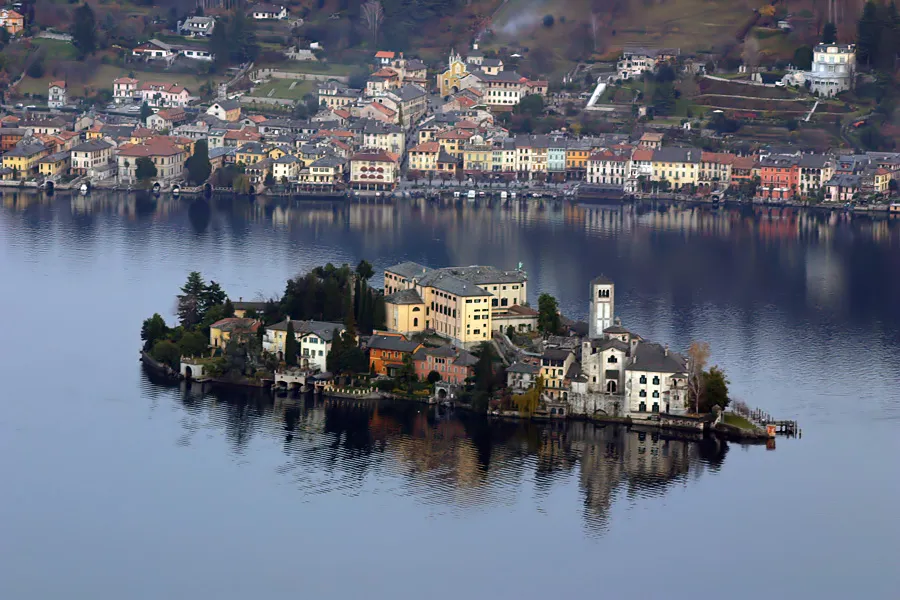
Isola San Giulio Alessandro Vecchi · CC BY-SA 3.0 -
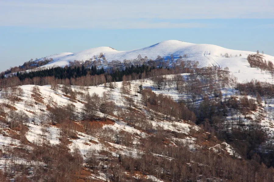
Monte del Falò Alessandro Vecchi · CC BY-SA 3.0 -
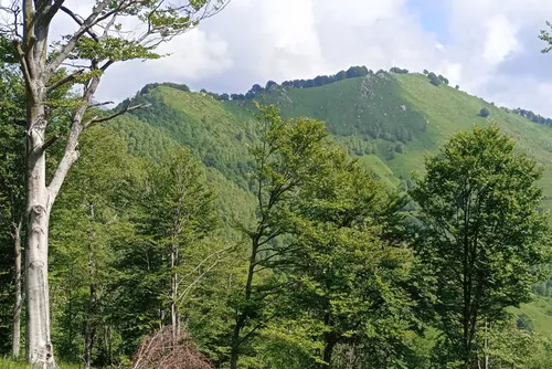
Monte Novesso Pampuco · CC BY-SA 4.0


Climate of Agrano
Best months for sightseeingBest months for sightseeing: June–September.
This month · November
A cold month
Day 10° · Night 2° · Rain 84 mm
- Hottest month
- July (day 26°)
- Coldest month
- January (night -1°)
- Wettest month
- May (132 mm)
- Driest month
- December (56 mm)
Bars: average monthly low and high temperature. Below: precipitation. Monthly averages for 1970–2000 at about 18 km resolution, adjusted for elevation. Highlighted months are mild and relatively dry. Source: WorldClim 2.1 (CC BY 4.0).
Show values as a table
| Month | Jan | Feb | Mar | Apr | May | Jun | Jul | Aug | Sep | Oct | Nov | Dec |
|---|---|---|---|---|---|---|---|---|---|---|---|---|
| Average high (°C) | 7° | 8° | 12° | 15° | 19° | 23° | 26° | 25° | 21° | 16° | 10° | 7° |
| Average low (°C) | -1° | -1° | 2° | 5° | 10° | 13° | 15° | 15° | 12° | 7° | 2° | -1° |
| Precipitation (mm) | 61 | 61 | 82 | 103 | 132 | 117 | 90 | 112 | 101 | 110 | 84 | 56 |
Other places to visit in this season: June July August September
How to get to Agrano
The nearest airport is Milan Malpensa International Airport (MXP), 34 km to the southeast as the crow flies. The nearest large city is Bern, 143 km to the northwest.
Airports
- Milan Malpensa International Airport (MXP) Ferno (VA) 34 kmsoutheast
- Lugano Airport (LUG) Agno 42 kmnortheast
- Milano Linate Airport (LIN) Segrate (MI) 81 kmsoutheast
Nearby large cities
- Bern Population: 121.6K 143 kmnorthwest
- Lausanne Population: 139.1K 156 kmnorthwest
- Zurich Population: 415.4K 169 kmnorth
- Geneva Population: 201.7K 180 kmwest
- Winterthur Population: 111.8K 186 kmnorth
Straight-line distances; road distances are longer. Airport data: OurAirports.
Day trips from Agrano
Within 100 km: 86 historic and cultural sites, 4,088 natural sites, 487 lakes, rivers and coasts.
0–25 km78 places
- Spiaggia del Sasso Cavallazzo Beach 14 kmE
- Spiaggia dei Caravalle Beach 13 kmSE
- Spiaggia di Arolo Beach 15 kmE
- Isola San Giulio Island 6 kmS
25–60 km1,137 places
- Isole di Brissago Island 40 kmNE
- Sant' Apollinare Island 41 kmNE
- San Pancrazio Island 40 kmNE
- Laghetto di Muzzano Lake 43 kmNE
60–100 km3,446 places
- Lago Nero Lake 68 kmN
- Lago Tremorgio Lake 74 kmN
- Lago Sfundau Lake 69 kmN
- Lago del Sambuco Lake 71 kmN
Straight-line distances.
Nearby attractions & nature
Everything nearby-
Monte del Falò Mountain, Armeno5.2 km E
-
Isola San Giulio Island, Piedmont5.7 km S
-
Monte Trevigno Mountain, Cesara5.9 km SW
-
Monte Zughero Mountain, Stresa6.6 km NE
-
Monte Novesso Mountain, Varallo7 km W
-
Monte Vesso Mountain, Civiasco7.3 km W
Sources & licences
Data last updated: