Giarra
Located in Fondachelli-Fantina, Province of Messina Coordinates: 38°01′30″ N 15°10′19″ E
- Population
- 63
- 63
- Elevation
- 540 m
- above sea level
- Local time
- UTC+01:00
- Europe/Rome · UTC+01:00
- Airports
- REG Reggio Calabria Airport42 km
- CTA Catania-Fontanarossa Airport63 km
About Giarra
Giarra is a village. Location: Fondachelli-Fantina, Province of Messina. Population: 63. Elevation: 540 m. The best months to visit are May–July, September. The nearest airport is Reggio Calabria Airport (42 km). Nearby sights include Castello di Milazzo and Schisò Castle.
Climate of Giarra
Best months for sightseeingBest months for sightseeing: May–July, September.
This month · November
Outside the best season
Day 16° · Night 10° · Rain 89 mm
- Hottest month
- August (day 28°)
- Coldest month
- February (night 5°)
- Wettest month
- December (98 mm)
- Driest month
- July (11 mm)
Bars: average monthly low and high temperature. Below: precipitation. Monthly averages for 1970–2000 at about 18 km resolution, adjusted for elevation. Highlighted months are mild and relatively dry. Source: WorldClim 2.1 (CC BY 4.0).
Show values as a table
| Month | Jan | Feb | Mar | Apr | May | Jun | Jul | Aug | Sep | Oct | Nov | Dec |
|---|---|---|---|---|---|---|---|---|---|---|---|---|
| Average high (°C) | 11° | 12° | 13° | 16° | 20° | 24° | 27° | 28° | 24° | 20° | 16° | 13° |
| Average low (°C) | 6° | 5° | 7° | 9° | 12° | 16° | 19° | 20° | 17° | 14° | 10° | 7° |
| Precipitation (mm) | 91 | 70 | 68 | 51 | 31 | 12 | 11 | 18 | 55 | 89 | 89 | 98 |
Other places to visit in this season: May June July September
How to get to Giarra
The nearest airport is Reggio Calabria Airport (REG), 42 km to the east as the crow flies. For international flights: Catania-Fontanarossa Airport (CTA) (63 km).
Airports
- Reggio Calabria Airport (REG) Reggio Calabria 42 kmeast
- Catania-Fontanarossa Airport (CTA) Catania 63 kmsouth
- Comiso Airport (CIY) Comiso 125 kmsouthwest
Straight-line distances; road distances are longer. Airport data: OurAirports.
Day trips from Giarra
Within 100 km: 17 historic and cultural sites, 27 natural sites, 49 lakes, rivers and coasts.
0–25 km18 places
- Spiaggia di Naxos Beach 24 kmS
- Spiaggia di Milazzo Beach 22 kmN
- Spiaggia di Caldera Beach 16 kmN
- Torretta Spiaggia Beach 18 kmN
25–60 km39 places
- Spiaggia San Marco Beach 26 kmS
- Spiaggia Bianca Beach 56 kmN
- Marina Corta Beach 53 kmN
- Coral beach Beach 55 kmN
60–100 km36 places
- Aeolian Islands Island 63 kmNW
- Playa di Catania Beach 61 kmS
- Spiaggia San Ferdinando Beach 83 kmNE
- Le Dune Blu Beach 84 kmNE
Straight-line distances.
Nearby attractions & nature
Everything nearby-
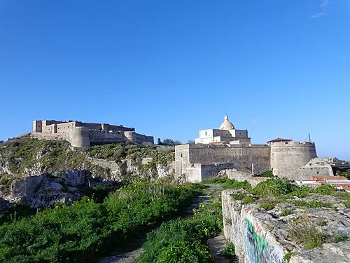 Castello di Milazzo Historic site, Milazzo24 km N
-
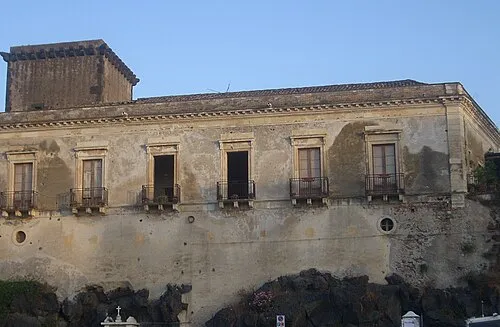 Schisò Castle Historic site, Giardini Naxos24 km S
-
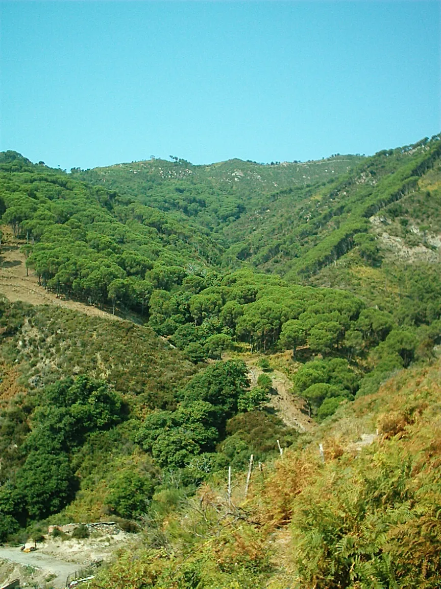 Peloritani Mountain, Sicily14 km E
-
Spiaggia di Siena Beach, Furnari13 km NW
-
Spiaggia di Falcone Beach, Falcone13 km NW
-
Spiaggia di Tonnarella Beach, Furnari12 km NW
Sources & licences
Data last updated: · 2 independent sources