Montegiorgio
Located in Province of Fermo, The Marches Coordinates: 43°07′56″ N 13°32′11″ E
- Population
- 6,702
- 6.7K
- Elevation
- 394 m
- above sea level
- Local time
- UTC+01:00
- Europe/Rome · UTC+01:00
- Places inside
- 5
- listed under Montegiorgio
- Airports
- AOI Marche Airport56 km
- PEG Perugia San Francesco d'Assisi – Umbria International Airport83 km
About Montegiorgio
Montegiorgio is a municipality. Location: Province of Fermo, The Marches. Population: 6,702. Elevation: 394 m. The best months to visit are May–July, September. The nearest airport is Marche Airport (56 km). Nearby sights include Teatro Ermete Novelli and Teatro dell'Iride.
Climate of Montegiorgio
Best months for sightseeingBest months for sightseeing: May–July, September.
This month · November
Outside the best season
Day 13° · Night 4° · Rain 74 mm
- Hottest month
- July (day 28°)
- Coldest month
- January (night 0°)
- Wettest month
- September (75 mm)
- Driest month
- February (45 mm)
Bars: average monthly low and high temperature. Below: precipitation. Monthly averages for 1970–2000 at about 18 km resolution, adjusted for elevation. Highlighted months are mild and relatively dry. Source: WorldClim 2.1 (CC BY 4.0).
Show values as a table
| Month | Jan | Feb | Mar | Apr | May | Jun | Jul | Aug | Sep | Oct | Nov | Dec |
|---|---|---|---|---|---|---|---|---|---|---|---|---|
| Average high (°C) | 8° | 9° | 12° | 15° | 20° | 24° | 28° | 27° | 23° | 18° | 13° | 9° |
| Average low (°C) | 0° | 0° | 2° | 5° | 10° | 13° | 16° | 16° | 13° | 9° | 4° | 1° |
| Precipitation (mm) | 47 | 45 | 54 | 60 | 53 | 63 | 48 | 60 | 75 | 74 | 74 | 61 |
Other places to visit in this season: May June July September
How to get to Montegiorgio
The nearest airport is Marche Airport (AOI), 56 km to the north as the crow flies. For international flights: Perugia San Francesco d'Assisi – Umbria International Airport (PEG) (83 km). The nearest large city is Split, 239 km to the east.
Airports
- Marche Airport (AOI) Falconara Marittima (AN) 56 kmnorth
- Perugia San Francesco d'Assisi – Umbria International Airport (PEG) Perugia (PG) 83 kmwest
- Abruzzo Airport (PSR) Pescara 94 kmsoutheast
Nearby large cities
- Split Population: 149.8K 239 kmeast
- Rijeka Population: 108K 254 kmnorth
- Ljubljana Population: 272.2K 333 kmnorth
- Zagreb Population: 663.6K 356 kmnortheast
- Klagenfurt Population: 100.3K 393 kmnorth
Straight-line distances; road distances are longer. Airport data: OurAirports.
Day trips from Montegiorgio
Within 100 km: 83 historic and cultural sites, 196 natural sites, 45 lakes, rivers and coasts.
0–25 km18 places
- Spiaggia Marina Palmense Beach 23 kmE
- Spiaggia Lido di Fermo Beach 22 kmE
- Spiaggia Porto Sant'Elpidio Beach 23 kmNE
- Spiaggia Riva Verde Beach 24 kmE
25–60 km123 places
- Giulianova Beach Beach 53 kmSE
- Bersaglio Beach 57 kmN
- Spiaggia Cupra Marittima Beach 29 kmSE
- Spiaggia Pedaso Beach 25 kmE
60–100 km183 places
- Appennino Umbro Mountain 78 kmW
- Monte del Pantano Mountain 94 kmNW
- Bagni Due Palme Beach 98 kmNW
- Miramare Beach Beach 97 kmNW
Straight-line distances.
Places in Montegiorgio
5 placesBar: population relative to the most populous place in this list.
Cities & villages1
- Alteta · Village
Heritage & sights1
- Teatro Alaleona · Attraction
Nearby attractions & nature
Everything nearby-
Teatro Ermete Novelli Attraction, Grottazzolina5.7 km SE
-
 Teatro dell'Iride Attraction, Petritoli12 km SE
-
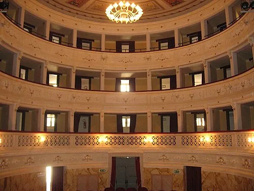 Teatro Vincenzo Pagani Attraction, Monterubbiano16 km E
-
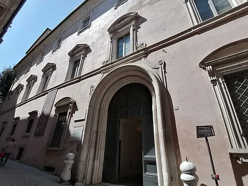 Palazzo Buonaccorsi Historic site, Macerata20 km N
-
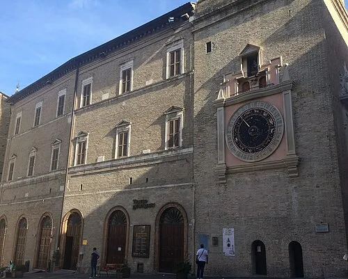 Teatro Lauro Rossi Attraction, Macerata20 km N
-
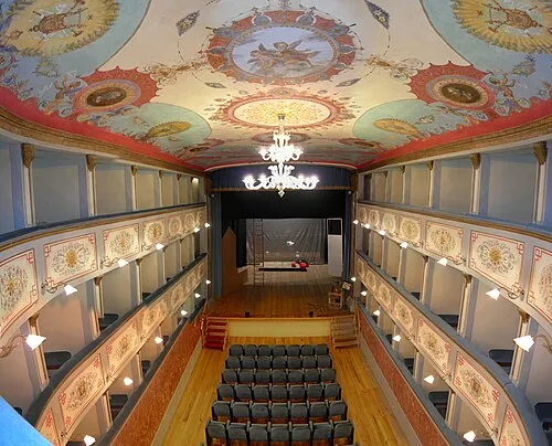 Teatro Luigi Mercantini Attraction, Ripatransone24 km SE
-
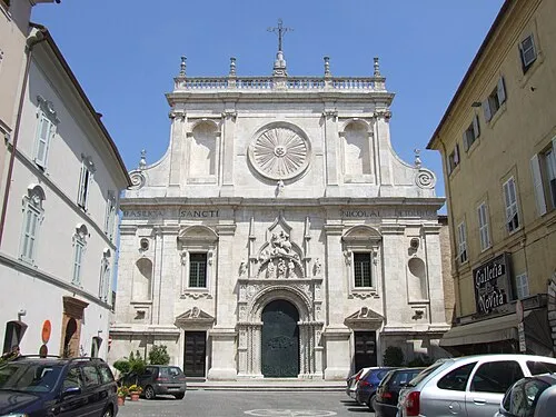 Basilica di San Nicola a Tolentino Attraction, Tolentino22 km NW
-
Teatro comunale Attraction, Porto San Giorgio21 km E
Sources & licences
Data last updated: