Deutschnofen
Located in South Tyrol, Trentino-Alto Adige Coordinates: 46°24′46″ N 11°25′50″ E
- Population
- 3,937
- 3.9K
- Elevation
- 1,352 m
- above sea level
- Local time
- UTC+01:00
- Europe/Rome · UTC+01:00
- Places inside
- 17
- listed under Deutschnofen
- Airports
- BZO Bolzano Airport10 km
- INN Innsbruck Airport94 km
About Deutschnofen
Deutschnofen is a municipality. Location: South Tyrol, Trentino-Alto Adige. Population: 3,937. Elevation: 1,352 m. The best months to visit are June–August. The nearest airport is Bolzano Airport (10 km). Nearby sights include Museion and Stadio Druso.
Climate of Deutschnofen
Best months for sightseeingBest months for sightseeing: June–August.
This month · November
A cold month
Day 5° · Night -2° · Rain 46 mm
- Hottest month
- July (day 21°)
- Coldest month
- January (night -6°)
- Wettest month
- July (84 mm)
- Driest month
- February (24 mm)
Bars: average monthly low and high temperature. Below: precipitation. Monthly averages for 1970–2000 at about 18 km resolution, adjusted for elevation. Highlighted months are mild and relatively dry. Source: WorldClim 2.1 (CC BY 4.0).
Show values as a table
| Month | Jan | Feb | Mar | Apr | May | Jun | Jul | Aug | Sep | Oct | Nov | Dec |
|---|---|---|---|---|---|---|---|---|---|---|---|---|
| Average high (°C) | 1° | 3° | 6° | 10° | 14° | 18° | 21° | 20° | 16° | 11° | 5° | 1° |
| Average low (°C) | -6° | -5° | -3° | 0° | 5° | 9° | 11° | 11° | 7° | 3° | -2° | -5° |
| Precipitation (mm) | 26 | 24 | 30 | 42 | 64 | 82 | 84 | 81 | 67 | 68 | 46 | 29 |
How to get to Deutschnofen
The nearest airport is Bolzano Airport (BZO), 10 km to the northwest as the crow flies. For international flights: Innsbruck Airport (INN) (94 km). The nearest large city is Innsbruck, 95 km to the north.
Airports
- Bolzano Airport (BZO) Bolzano (BZ) 10 kmnorthwest
- Innsbruck Airport (INN) Innsbruck 94 kmnorth
- Treviso Airport (TSF) Treviso (TV) 104 kmsoutheast
Nearby large cities
- Innsbruck Population: 132.5K 95 kmnorth
- Munich Population: 1.5M 192 kmnorth
- Salzburg Population: 157.2K 197 kmnortheast
- Klagenfurt Population: 100.3K 222 kmeast
- Augsburg Population: 301.1K 221 kmnorth
Straight-line distances; road distances are longer. Airport data: OurAirports.
Day trips from Deutschnofen
Within 100 km: 39 historic and cultural sites, 3,006 natural sites, 138 lakes, rivers and coasts.
0–25 km135 places
- Monte Pez Mountain 16 kmNE
- Castel Mountain 22 kmS
- Catena di Lagorai Mountain 23 kmSE
- Rosengartenspitze Mountain 15 kmE
25–60 km797 places
- Piz Gralba Mountain 30 kmNE
- Piz Miara Mountain 31 kmNE
- Croda Nera Mountain 27 kmE
- Vorderer Seelenkogl Mountain 55 kmNW
60–100 km2,251 places
- Spadalone Mountain 63 kmSW
- Dosso Rotondo Mountain 78 kmSW
- Lai da Juata Lake 87 kmW
- Lai da Costainas Lake 75 kmW
Straight-line distances.
Places in Deutschnofen
17 placesDeutschnofen
Population: 1.5K

San Nicolò d'Ega
Population: 373

Monte San Pietro
Population: 369

Ponte Nova
Population: 123
Stadtl
Population: 80

Obereggen
Population: 65
Bar: population relative to the most populous place in this list.
Mountains & nature5
- Cima del Forcellone · Mountain
- Corno d'Ega · Mountain
- Monte Francesco · Mountain
- Monte Largo · Mountain
- Monte Soprachiesa · Mountain
Nearby attractions & nature
Everything nearby-
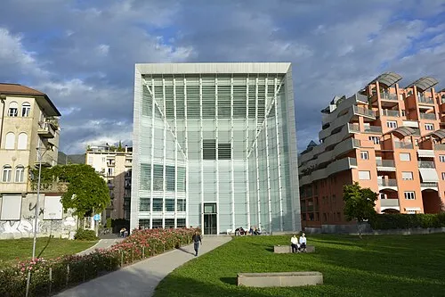 Museion Museum, Bolzano/Bozen11 km NW
-
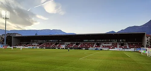 Stadio Druso Landmark, Bolzano/Bozen11 km NW
-
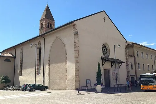 Chiesa dei Domenicani Attraction, Bolzano/Bozen11 km NW
-
Il Palone Mountain, Ville di Fiemme9 km S
-
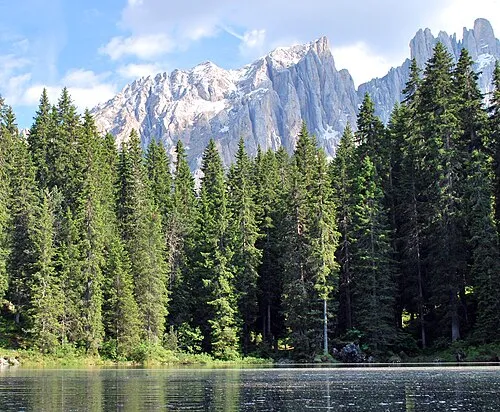 Latemar Spitze Mountain, Predazzo12 km E
-
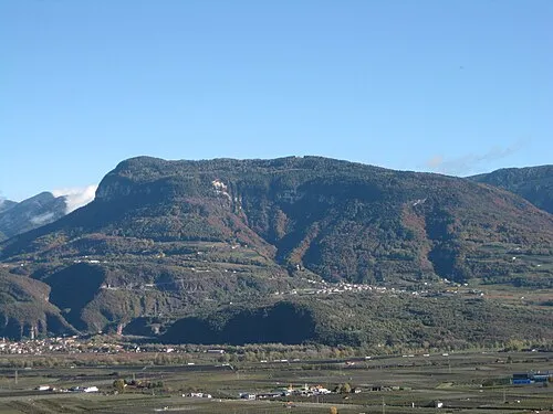 Cima Cucul Mountain, Trodena nel parco naturale/Truden im Naturpark11 km SW
-
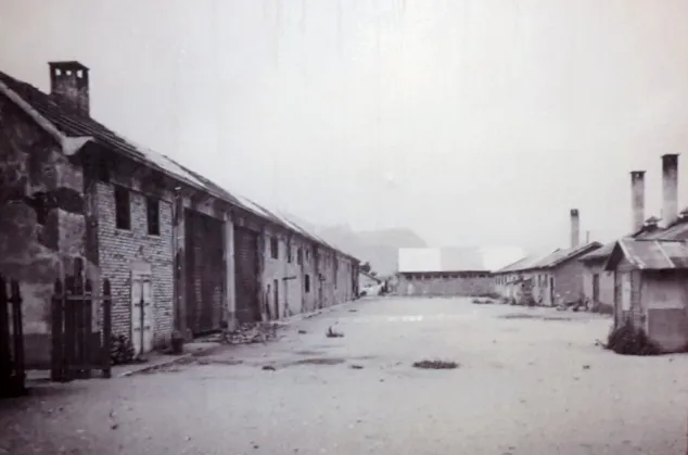 Bozen Transit Camp Historic site, Bolzano/Bozen12 km NW
-
Sasso del Gazzo Mountain, Ville di Fiemme9.7 km S
Sources & licences
Data last updated: