- Population
- 20
- 20
- Elevation
- 1,396 m
- above sea level
- Local time
- UTC+01:00
- Europe/Rome · UTC+01:00
- Airports
- BZO Bolzano Airport55 km
- INN Innsbruck Airport76 km
About Val della Torre
Val della Torre is a village. Location: Mareo, South Tyrol. Population: 20. Elevation: 1,396 m. The best months to visit are June–September. The nearest airport is Bolzano Airport (55 km). Nearby sights include Piz de Corda and Piz da Peres.
Photos of Val della Torre
-
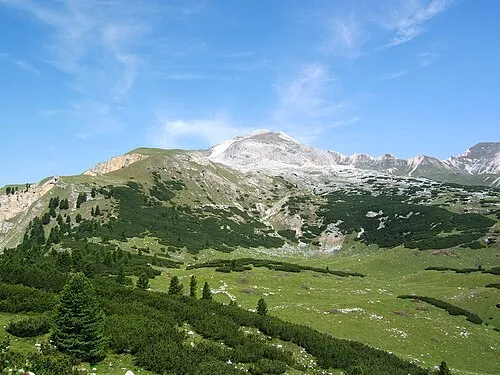
Monte Sella di Sennes Cactus26 · CC BY-SA 3.0 -
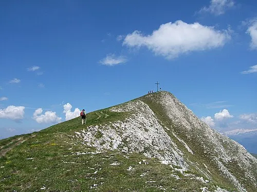
Piz da Peres Cactus26 · CC BY-SA 3.0 -
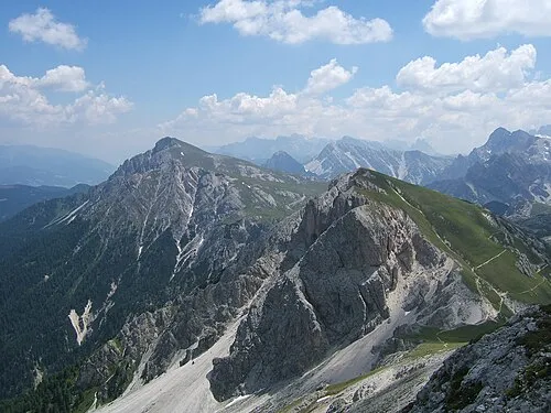
Dreifingerspitze Cactus26 · CC BY-SA 3.0 -
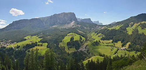
Val Badia This Photo was taken by Wolfgang Moroder . Feel free to use my photos, but please mention me as the author and send me a · CC BY-SA 3.0


Climate of Val della Torre
Best months for sightseeingBest months for sightseeing: June–September.
This month · November
A cold month
Day 4° · Night -3° · Rain 63 mm
- Hottest month
- July (day 20°)
- Coldest month
- January (night -7°)
- Wettest month
- July (126 mm)
- Driest month
- January (35 mm)
Bars: average monthly low and high temperature. Below: precipitation. Monthly averages for 1970–2000 at about 18 km resolution, adjusted for elevation. Highlighted months are mild and relatively dry. Source: WorldClim 2.1 (CC BY 4.0).
Show values as a table
| Month | Jan | Feb | Mar | Apr | May | Jun | Jul | Aug | Sep | Oct | Nov | Dec |
|---|---|---|---|---|---|---|---|---|---|---|---|---|
| Average high (°C) | 0° | 2° | 6° | 9° | 14° | 17° | 20° | 19° | 16° | 11° | 4° | 1° |
| Average low (°C) | -7° | -6° | -3° | -1° | 4° | 8° | 10° | 10° | 7° | 3° | -3° | -6° |
| Precipitation (mm) | 35 | 37 | 45 | 56 | 88 | 113 | 126 | 115 | 85 | 73 | 63 | 40 |
Other places to visit in this season: June July August September
How to get to Val della Torre
The nearest airport is Bolzano Airport (BZO), 55 km to the southwest as the crow flies. For international flights: Innsbruck Airport (INN) (76 km). The nearest large city is Innsbruck, 74 km to the northwest.
Airports
- Bolzano Airport (BZO) Bolzano (BZ) 55 kmsouthwest
- Innsbruck Airport (INN) Innsbruck 76 kmnorthwest
- Treviso Airport (TSF) Treviso (TV) 120 kmsouth
Nearby large cities
- Innsbruck Population: 132.5K 74 kmnorthwest
- Salzburg Population: 157.2K 147 kmnortheast
- Munich Population: 1.5M 161 kmnorth
- Klagenfurt Population: 100.3K 181 kmeast
- Augsburg Population: 301.1K 201 kmnorthwest
Straight-line distances; road distances are longer. Airport data: OurAirports.
Day trips from Val della Torre
Within 100 km: 98 historic and cultural sites, 3,506 natural sites, 459 lakes, rivers and coasts.
0–25 km215 places
- Piz Gralba Mountain 24 kmSW
- Piz Miara Mountain 23 kmSW
- Altes Weib Mountain 21 kmNW
- Onsberg Mountain 8 kmN
25–60 km1,234 places
- Sille River 39 kmE
- Croda Nera Mountain 33 kmS
- Eissee Lake 52 kmNE
- Wild See Lake 43 kmNW
60–100 km2,614 places
- Fürlegsee Lake 70 kmNE
- Vorderer Langtalsee Lake 72 kmNE
- Wildsee Lake 89 kmNW
- Brandlsee Lake 86 kmNE
Straight-line distances.
Nearby attractions & nature
Everything nearby-
Piz de Corda Mountain, Mareo1.4 km NE
-
Piz da Peres Mountain, Mareo3 km E
-
Dreifingerspitze Mountain, Mareo3.9 km E
-
Willeitkopf Mountain, Mareo3.6 km NW
-
Val Badia Natural site, San Martino in Badia/St. Martin in Thurn4.3 km SW
-
Moosener Berg Mountain, Mareo4.6 km NW
Other cities and towns in Mareo

Sources & licences
Data last updated: · 2 independent sources