Ortisei
Located in South Tyrol, Trentino-Alto Adige Coordinates: 46°34′28″ N 11°40′03″ E
- Population
- 4,869
- 4.9K
- Elevation
- 1,210 m
- above sea level
- Local time
- UTC+01:00
- Europe/Rome · UTC+01:00
- Places inside
- 4
- listed under Ortisei
- Airports
- BZO Bolzano Airport29 km
- INN Innsbruck Airport80 km
About Ortisei
Ortisei is a municipality. Location: South Tyrol, Trentino-Alto Adige. Population: 4,869. Elevation: 1,210 m. The best months to visit are June–September. The nearest airport is Bolzano Airport (29 km). Nearby sights include Monte Pitz and Alpe di Siusi.
Photos of Ortisei
-
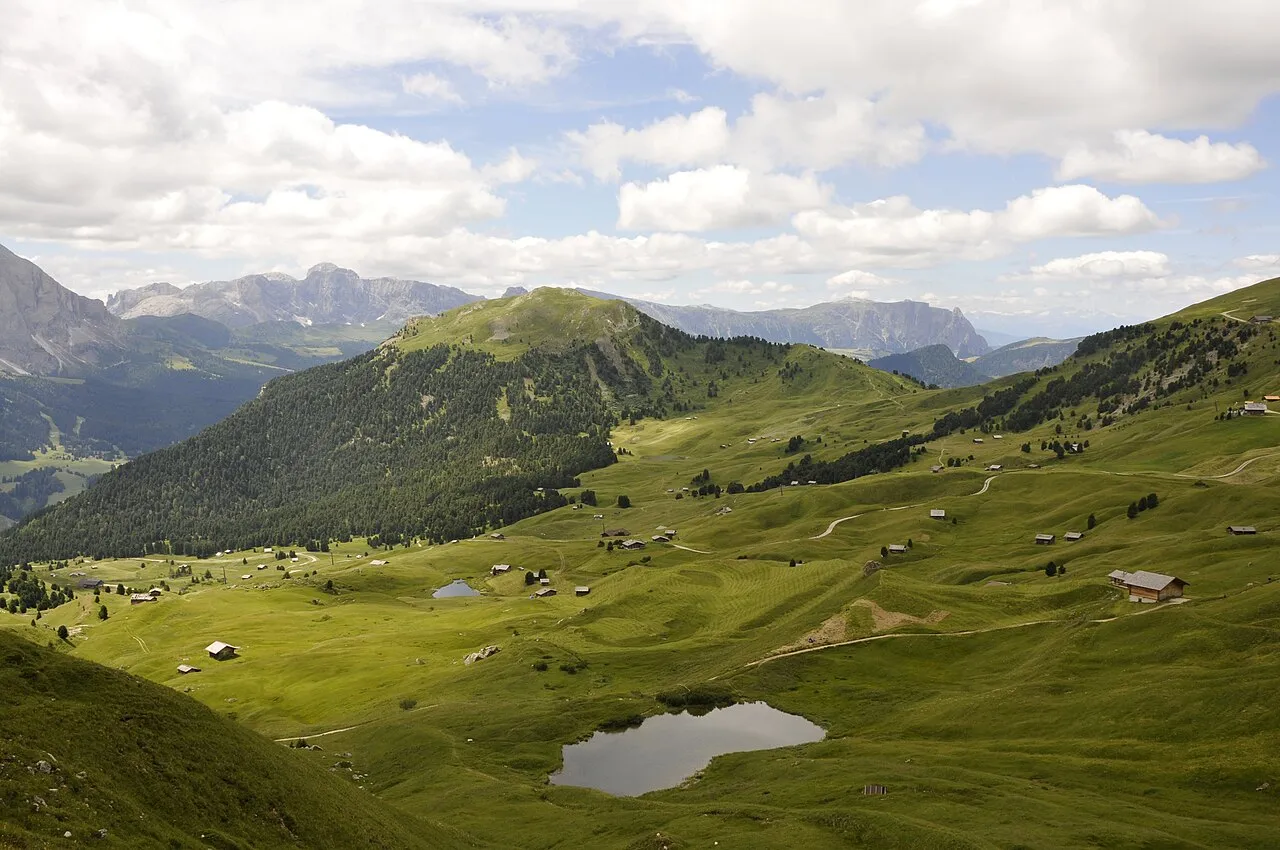
Monte Pic This Photo was taken by Wolfgang Moroder . Feel free to use my photos, but please mention me as the author and send me a · CC BY-SA 3.0 -
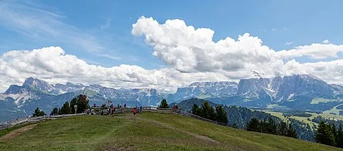
Monte Bullaccia Otto Domes · CC BY-SA 4.0 -
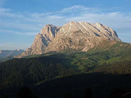
Sasso Piatto Fafner · CC BY-SA 3.0 -
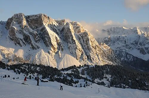
Monte Stevia Wolfgang Moroder · CC BY-SA 3.0 -
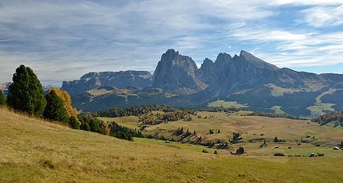
Alpe di Siusi This Photo was taken by Wolfgang Moroder . Feel free to use my photos, but please mention me as the author and send me a · CC BY-SA 3.0


Climate of Ortisei
Best months for sightseeingBest months for sightseeing: June–September.
This month · November
A cold month
Day 7° · Night 1° · Rain 73 mm
- Hottest month
- July (day 20°)
- Coldest month
- February (night -3°)
- Wettest month
- July (128 mm)
- Driest month
- February (42 mm)
Bars: average monthly low and high temperature. Below: precipitation. Monthly averages for 1970–2000 at about 18 km resolution, adjusted for elevation. Highlighted months are mild and relatively dry. Source: WorldClim 2.1 (CC BY 4.0).
Show values as a table
| Month | Jan | Feb | Mar | Apr | May | Jun | Jul | Aug | Sep | Oct | Nov | Dec |
|---|---|---|---|---|---|---|---|---|---|---|---|---|
| Average high (°C) | 3° | 3° | 6° | 9° | 14° | 18° | 20° | 20° | 17° | 12° | 7° | 4° |
| Average low (°C) | -3° | -3° | -1° | 2° | 6° | 10° | 12° | 12° | 9° | 6° | 1° | -2° |
| Precipitation (mm) | 43 | 42 | 55 | 64 | 94 | 117 | 128 | 120 | 91 | 80 | 73 | 45 |
Other places to visit in this season: June July August September
How to get to Ortisei
The nearest airport is Bolzano Airport (BZO), 29 km to the southwest as the crow flies. For international flights: Innsbruck Airport (INN) (80 km). The nearest large city is Innsbruck, 79 km to the north.
Airports
- Bolzano Airport (BZO) Bolzano (BZ) 29 kmsouthwest
- Innsbruck Airport (INN) Innsbruck 80 kmnorth
- Treviso Airport (TSF) Treviso (TV) 111 kmsouth
Nearby large cities
- Innsbruck Population: 132.5K 79 kmnorth
- Salzburg Population: 157.2K 172 kmnortheast
- Munich Population: 1.5M 174 kmnorth
- Klagenfurt Population: 100.3K 202 kmeast
- Augsburg Population: 301.1K 208 kmnorth
Straight-line distances; road distances are longer. Airport data: OurAirports.
Day trips from Ortisei
Within 100 km: 65 historic and cultural sites, 3,383 natural sites, 286 lakes, rivers and coasts.
0–25 km160 places
- Piz Gralba Mountain 11 kmSE
- Piz Miara Mountain 11 kmSE
- Croda Nera Mountain 18 kmSE
- Monte Pez Mountain 10 kmSW
25–60 km975 places
- Wild See Lake 47 kmN
- Thurntaler Seen Lake 58 kmE
- Schwarzsee Lake 58 kmNE
- Obernberger See Lake 50 kmNW
60–100 km2,599 places
- Spadalone Mountain 88 kmSW
- Lai da Costainas Lake 92 kmW
- Lai da Valpaschun Lake 97 kmW
- Lai da Minschuns Lake 92 kmW
Straight-line distances.
Places in Ortisei
4 placesBar: population relative to the most populous place in this list.
Nearby attractions & nature
Everything nearby-
Monte Pitz Mountain, Castelrotto/Kastelruth2.1 km SW
-
Alpe di Siusi Natural site, Castelrotto/Kastelruth4.1 km SW
-
Rasciesa di Fuori Mountain, Laion/Lajen3.4 km N
-
Monte Bullaccia Mountain, Castelrotto/Kastelruth4.2 km W
-
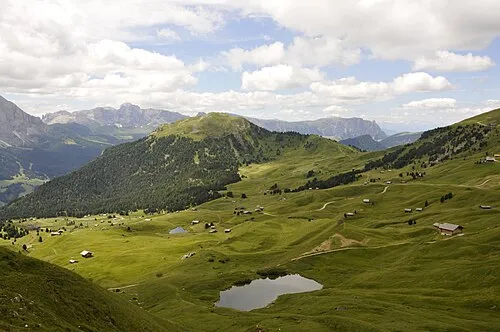 Monte Pic Mountain, Santa Cristina Valgardena/St. Christina in Gröden4.4 km E
-
Rasciesa di Dentro Mountain, Funes/Villnöß4.9 km NE
-
Sasso Piatto Mountain, Campitello di Fassa7.6 km SE
-
Piz Ciaulong Mountain, Santa Cristina Valgardena/St. Christina in Gröden6.2 km SE
Sources & licences
Data last updated: