Val di Vizze
Located in Trentino-Alto Adige, Italy Coordinates: 46°58′00″ N 11°34′00″ E
- Elevation
- 1,534 m
- above sea level
- Local time
- UTC+01:00
- Europe/Rome · UTC+01:00
- Airports
- INN Innsbruck Airport37 km
- BZO Bolzano Airport59 km
About Val di Vizze
Val di Vizze is a natural site. Location: Trentino-Alto Adige, Italy.
The Pfitschtal or Pfitscher Tal (Italian: Val di Vizze; German: Pfitschtal) is a valley in South Tyrol, Italy. The Italian name Val di Vizze is used both for the valley and for the municipality of Pfitsch.
Source: Wikipedia · CC BY-SA 4.0
Photos of Val di Vizze
-
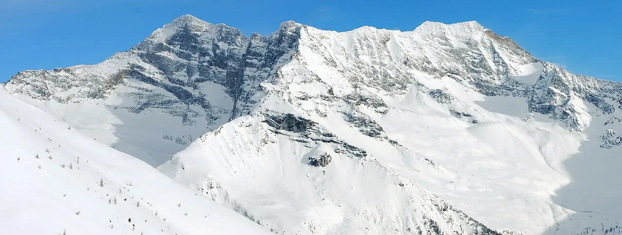
Sagwand Spitze Svíčková · CC BY-SA 3.0 -
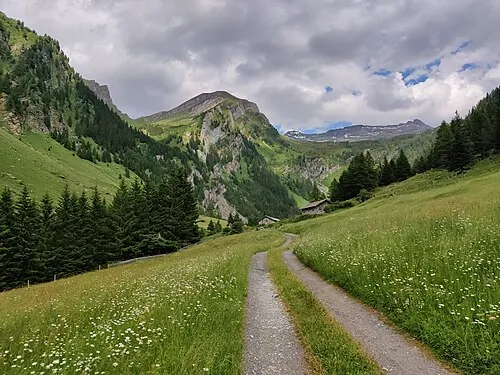
Vennatal Simon Legner · CC BY-SA 4.0 -
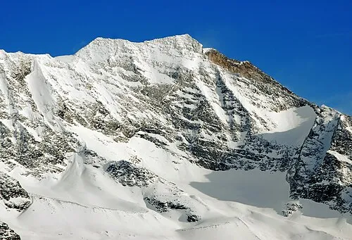
Croda Alta Svíčková · CC BY-SA 3.0 -
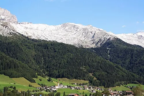
Wildseespitze Piergiuliano Chesi · CC BY 3.0 -
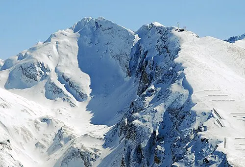
Hühnerspiel Svíčková · CC BY-SA 3.0


Climate of Val di Vizze
Best months for sightseeingBest months for sightseeing: July–August.
This month · November
A cold month
Day 4° · Night -2° · Rain 78 mm
- Hottest month
- July (day 18°)
- Coldest month
- February (night -5°)
- Wettest month
- July (133 mm)
- Driest month
- February (49 mm)
Bars: average monthly low and high temperature. Below: precipitation. Monthly averages for 1970–2000 at about 18 km resolution, adjusted for elevation. Highlighted months are mild and relatively dry. Source: WorldClim 2.1 (CC BY 4.0).
Show values as a table
| Month | Jan | Feb | Mar | Apr | May | Jun | Jul | Aug | Sep | Oct | Nov | Dec |
|---|---|---|---|---|---|---|---|---|---|---|---|---|
| Average high (°C) | 1° | 1° | 4° | 7° | 12° | 15° | 18° | 18° | 15° | 10° | 4° | 2° |
| Average low (°C) | -5° | -5° | -3° | -1° | 4° | 7° | 9° | 10° | 7° | 3° | -2° | -4° |
| Precipitation (mm) | 52 | 49 | 67 | 78 | 98 | 125 | 133 | 122 | 92 | 79 | 78 | 57 |
How to get to Val di Vizze
The nearest airport is Innsbruck Airport (INN), 37 km to the northwest as the crow flies. The nearest large city is Innsbruck, 35 km to the north.
Airports
- Innsbruck Airport (INN) Innsbruck 37 kmnorthwest
- Bolzano Airport (BZO) Bolzano (BZ) 59 kmsouth
- Salzburg Airport (SZG) Salzburg 142 kmnortheast
Nearby large cities
- Innsbruck Population: 132.5K 35 kmnorth
- Munich Population: 1.5M 130 kmnorth
- Salzburg Population: 157.2K 145 kmnortheast
- Augsburg Population: 301.1K 164 kmnorth
- Ulm Population: 120.5K 198 kmnorthwest
Straight-line distances; road distances are longer. Airport data: OurAirports.
Day trips from Val di Vizze
Within 100 km: 145 historic and cultural sites, 4,726 natural sites, 846 lakes, rivers and coasts.
0–25 km252 places
- Wild See Lake 3 kmN
- Torseen Lake 24 kmN
- Obernberger See Lake 13 kmW
- Juns See Lake 19 kmN
25–60 km1,272 places
- Piz Gralba Mountain 52 kmS
- Piz Miara Mountain 52 kmS
- Wildsee Lake 49 kmNW
- Zireiner See Lake 59 kmN
60–100 km4,193 places
- Bayerisches Oberland Mountain 78 kmN
- Schloss Hirschberg am Haarsee Historic site 98 kmN
- Lai da Costainas Lake 96 kmSW
- Lai da Valpaschun Lake 97 kmSW
Straight-line distances.
Nearest towns and villages


Nearby attractions & nature
Everything nearby-
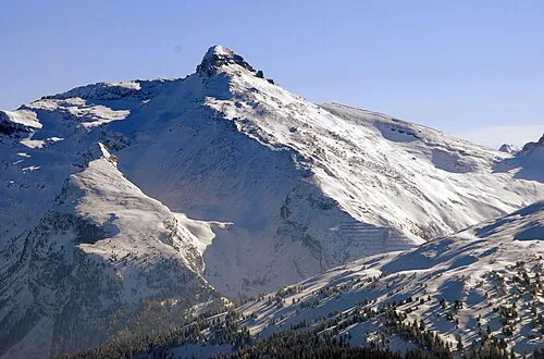 Wolfendorn Mountain, Brennero/Brenner2.9 km NW
-
Torwand Mountain, Pfitsch2.6 km S
-
Wildseespitze Mountain, South Tyrol2.9 km N
-
Tollgrube Mountain, Pfitsch3 km S
-
Cima Vallaccia Mountain, Brennero/Brenner3.3 km W
-
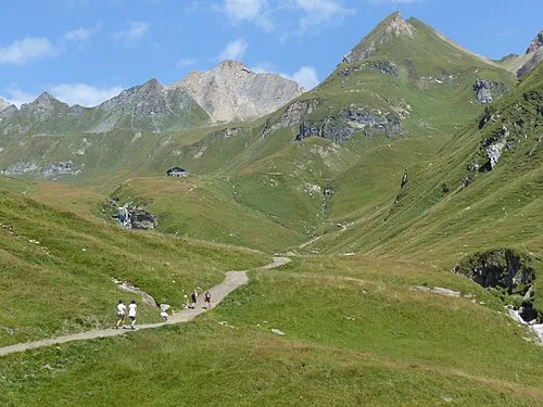 Rübespitze Mountain, Pfitsch3.6 km SE
-
Schlüsseljoch Mountain, Brennero/Brenner4.1 km W
-
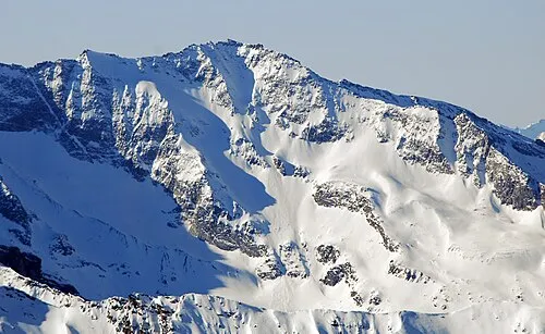 Kraxentrager Mountain, Pfitsch4.6 km N
More nature in Italy
-
Hühnerspiel Mountain, Brennero/Brenner5.5 km SW
-
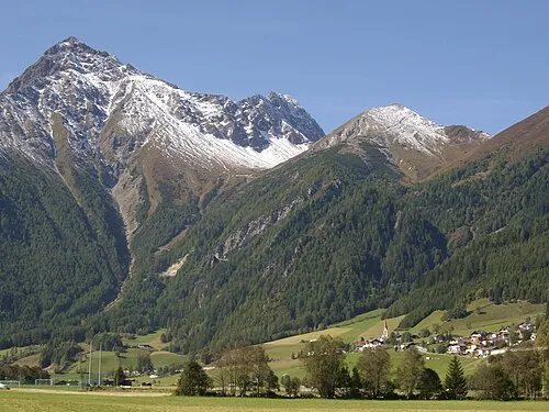 Cima della Stanga Mountain, Brennero/Brenner4.2 km W
-
Croda Alta Mountain, Pfitsch7 km NE
-
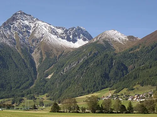 Rollspitze Mountain, Pfitsch5 km SW
-
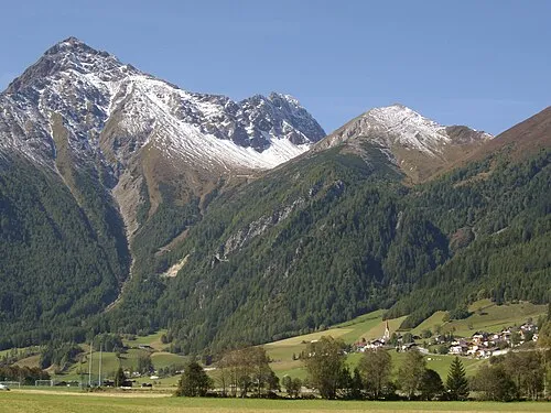 Punta del Tasso Mountain, Brennero/Brenner5.1 km W
-
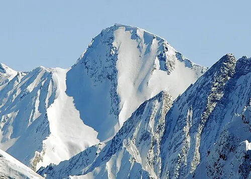 Felbespitze Mountain, Pfitsch5.3 km SE
Sources & licences
Data last updated: · 2 independent sources