Campi Bisenzio
Located in Province of Florence, Tuscany Coordinates: 43°49′28″ N 11°07′57″ E
- Population
- 47,141
- 47.1K
- Elevation
- 39 m
- above sea level
- Local time
- UTC+01:00
- Europe/Rome · UTC+01:00
- Places inside
- 15
- listed under Campi Bisenzio
- Airports
- FLR Florence Airport, Peretola6 km
- PSA Pisa International Airport62 km
About Campi Bisenzio
Campi Bisenzio is a municipality. Location: Province of Florence, Tuscany. Population: 47,141. Elevation: 39 m. The best months to visit are May, October. The nearest airport is Florence Airport, Peretola (6 km). Nearby sights include Castello dell'Imperatore and Stadio Lungobisenzio.
Photos of Campi Bisenzio
-
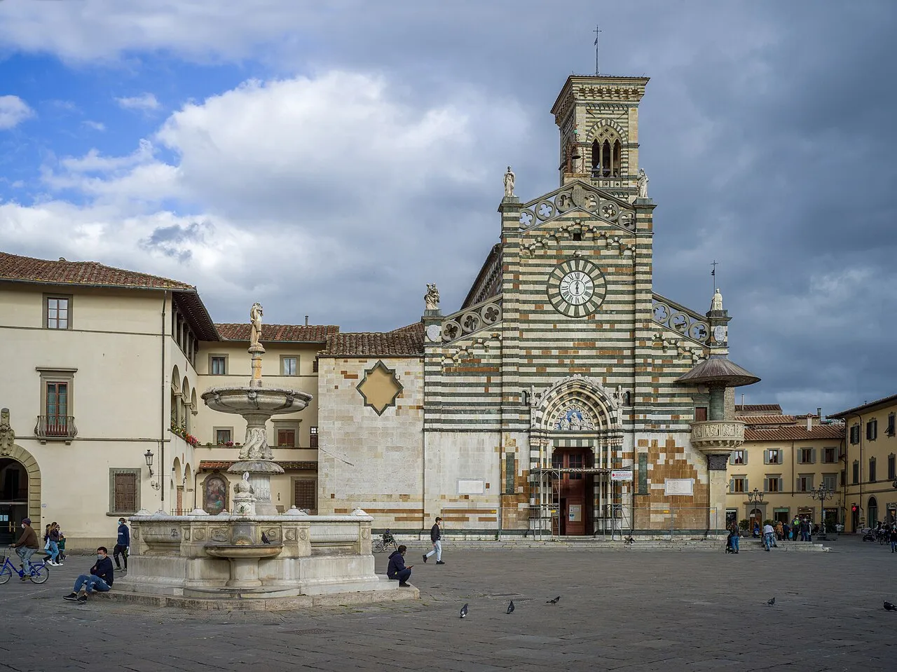
Prato Cathedral This Photo was taken by Wolfgang Moroder . Feel free to use my photos, but please mention me as the author and send me a · CC BY-SA 3.0 -
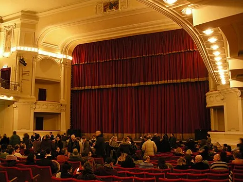
Teatro Politeama sailko · CC BY 2.5 -
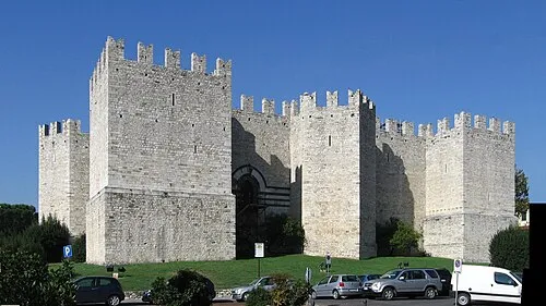
Castello dell'Imperatore Rolando Valdiserri - Prato · CC BY-SA 3.0 -
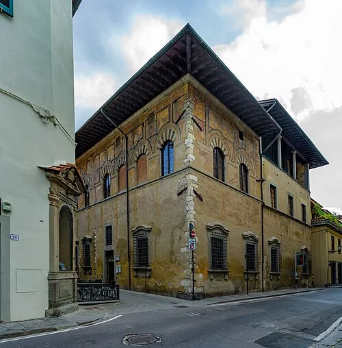
Palazzo Datini This Photo was taken by Wolfgang Moroder . Feel free to use my photos, but please mention me as the author and send me a · CC BY-SA 3.0 -
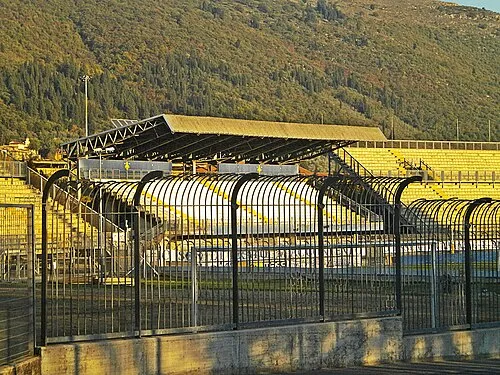
Stadio Lungobisenzio Massimilianogalardi · CC BY-SA 3.0


Climate of Campi Bisenzio
Best months for sightseeingBest months for sightseeing: May, October.
This month · November
A wet month
Day 15° · Night 6° · Rain 114 mm
- Hottest month
- July (day 31°)
- Coldest month
- January (night 3°)
- Wettest month
- November (114 mm)
- Driest month
- July (37 mm)
Bars: average monthly low and high temperature. Below: precipitation. Monthly averages for 1970–2000 at about 18 km resolution, adjusted for elevation. Highlighted months are mild and relatively dry. Source: WorldClim 2.1 (CC BY 4.0).
Show values as a table
| Month | Jan | Feb | Mar | Apr | May | Jun | Jul | Aug | Sep | Oct | Nov | Dec |
|---|---|---|---|---|---|---|---|---|---|---|---|---|
| Average high (°C) | 11° | 12° | 15° | 18° | 23° | 27° | 31° | 31° | 26° | 21° | 15° | 11° |
| Average low (°C) | 3° | 3° | 5° | 8° | 12° | 16° | 18° | 18° | 15° | 11° | 6° | 3° |
| Precipitation (mm) | 65 | 62 | 68 | 81 | 64 | 56 | 37 | 58 | 84 | 105 | 114 | 81 |
How to get to Campi Bisenzio
The nearest airport is Florence Airport, Peretola (FLR), 6 km to the east as the crow flies. The nearest large city is Nice, 312 km to the west.
Airports
- Florence Airport, Peretola (FLR) Firenze (FI) 6 kmeast
- Pisa International Airport (PSA) Pisa (PI) 62 kmwest
- Bologna Guglielmo Marconi Airport (BLQ) Bologna 80 kmnorth
Nearby large cities
- Nice Population: 342.7K 312 kmwest
- Rijeka Population: 108K 311 kmnortheast
- Ljubljana Population: 272.2K 363 kmnortheast
- Innsbruck Population: 132.5K 383 kmnorth
- Klagenfurt Population: 100.3K 399 kmnortheast
Straight-line distances; road distances are longer. Airport data: OurAirports.
Day trips from Campi Bisenzio
Within 100 km: 70 historic and cultural sites, 220 natural sites, 23 lakes, rivers and coasts.
0–25 km59 places
- Poggio di Iavello Mountain 16 kmN
- Monte Morello Mountain 10 kmNE
- I Fornelli Mountain 12 kmSW
- Poggio Ferrato Mountain 12 kmNW
25–60 km89 places
- Monte Vigese Mountain 42 kmN
- Monte Vasone Mountain 54 kmS
- Monte Santa Croce Mountain 49 kmNE
- Monte Rozzo Mountain 48 kmE
60–100 km165 places
- Cormorano Beach 81 kmSW
- Cala del Leone Beach 74 kmSW
- Spiaggia di Calignaia Beach 75 kmSW
- Spiaggia per Cani Beach 74 kmSW
Straight-line distances.
Places in Campi Bisenzio
15 places- 1 Campi Bisenzio 32.9K
- 2 San Donnino 5.8K
- 3 Il Rosi 707
- 4 La Madonnina 393
- 5 San Giorgio a Colonica 261
- 6 Valico 213
- 7 Maccione 66
- 8 Fornello 65
- 9 Limite 60
- 10 Le Miccine 49
- 11 Case Papucci 47
- 12 Tre Ville 36
- 13 Prataccio 34
- 14 Centola 26
Bar: population relative to the most populous place in this list.
Cities & villages1
- San Piero a Ponti · Village
Nearby attractions & nature
Everything nearby-
Castello dell'Imperatore Historic site, Prato6.6 km NW
-
Stadio Lungobisenzio Landmark, Prato6 km N
-
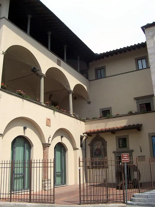 Museo dell'Opera del Duomo Museum, Prato7 km NW
-
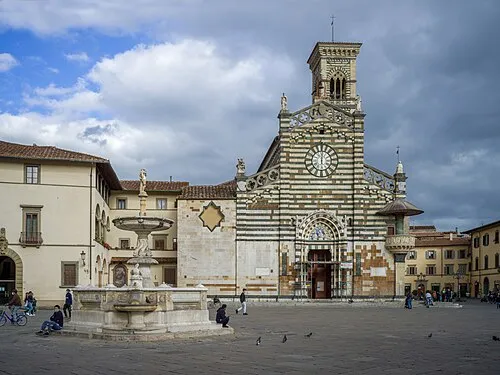 Prato Cathedral Attraction, Prato6.9 km NW
-
Palazzo Datini Historic site, Prato6.9 km NW
-
Teatro Politeama Attraction, Prato6.9 km NW
-
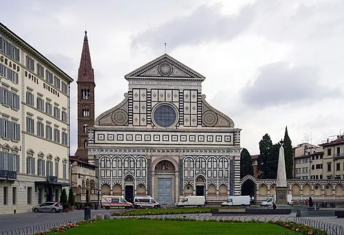 Basilica of Santa Maria Novella Attraction, Centro Storico11 km SE
-
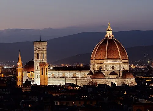 Basilica of Saint Mary of the Flower Attraction, Centro Storico11 km SE
Sources & licences
Data last updated: