- Population
- 22,322
- 22.3K
- Elevation
- 4 m
- above sea level
- Local time
- UTC+01:00
- Europe/Rome · UTC+01:00
- Places inside
- 17
- listed under Massarosa
- Airports
- PSA Pisa International Airport21 km
- FLR Florence Airport, Peretola70 km
About Massarosa
Massarosa is a municipality. Location: Province of Lucca, Tuscany. Population: 22,322. Elevation: 4 m. The best months to visit are May–July, September. The nearest airport is Pisa International Airport (21 km). Nearby sights include Lucca Cathedral and Basilica of San Frediano.
Climate of Massarosa
Best months for sightseeingBest months for sightseeing: May–July, September.
This month · November
A wet month
Day 15° · Night 7° · Rain 170 mm
- Hottest month
- August (day 29°)
- Coldest month
- January (night 3°)
- Wettest month
- November (170 mm)
- Driest month
- July (39 mm)
Bars: average monthly low and high temperature. Below: precipitation. Monthly averages for 1970–2000 at about 18 km resolution, adjusted for elevation. Highlighted months are mild and relatively dry. Source: WorldClim 2.1 (CC BY 4.0).
Show values as a table
| Month | Jan | Feb | Mar | Apr | May | Jun | Jul | Aug | Sep | Oct | Nov | Dec |
|---|---|---|---|---|---|---|---|---|---|---|---|---|
| Average high (°C) | 11° | 12° | 14° | 17° | 22° | 26° | 29° | 29° | 25° | 20° | 15° | 12° |
| Average low (°C) | 3° | 3° | 5° | 8° | 12° | 15° | 18° | 18° | 15° | 11° | 7° | 4° |
| Precipitation (mm) | 117 | 94 | 105 | 121 | 84 | 70 | 39 | 69 | 114 | 161 | 170 | 128 |
Other places to visit in this season: May June July September
How to get to Massarosa
The nearest airport is Pisa International Airport (PSA), 21 km to the south as the crow flies. The nearest large city is Nice, 248 km to the west.
Airports
- Pisa International Airport (PSA) Pisa (PI) 21 kmsouth
- Florence Airport, Peretola (FLR) Firenze (FI) 70 kmeast
- Bologna Guglielmo Marconi Airport (BLQ) Bologna 106 kmnortheast
Nearby large cities
- Nice Population: 342.7K 248 kmwest
- Rijeka Population: 108K 364 kmnortheast
- Toulon Population: 168.7K 366 kmwest
- Innsbruck Population: 132.5K 386 kmnorth
- Grenoble Population: 158.6K 395 kmnorthwest
Straight-line distances; road distances are longer. Airport data: OurAirports.
Day trips from Massarosa
Within 100 km: 58 historic and cultural sites, 172 natural sites, 37 lakes, rivers and coasts.
0–25 km20 places
- La Lecciona Beach 8 kmSW
- Spiaggia Forte dei Marmi Beach 17 kmNW
- Spiaggia Marina di Pietrasanta Beach 13 kmNW
- Spiaggia Lido di Camaiore Beach 10 kmW
25–60 km122 places
- Cala del Leone Beach 45 kmS
- Spiaggia di Calignaia Beach 45 kmS
- Spiaggia per Cani Beach 40 kmS
- Spiaggia del Felciaio Beach 39 kmS
60–100 km125 places
- Poggio di Iavello Mountain 61 kmE
- Altamarea Beach 98 kmS
- Ultima Spiaggia Beach 95 kmS
- Cormorano Beach 71 kmS
Straight-line distances.
Places in Massarosa
17 places- 1 Massarosa 22.4K
- 2 Stiava 3.1K
- 3 Piano di Mommio 2.5K
- 4 Piano di Conca 2K
- 5 Corsanico-Bargecchia 1.6K
- 6 Massaciuccoli 483
- 7 Pieve a Elici 249
- 8 Montigiano 210
- 9 Montramito 112
- 10 Gualdo 109
- 11 Al Sasso 80
- 12 Mommio Castello 70
- 13 Sassaia 63
- 14 Miglianello 38
- 15 Coli 26
- 16 Casella 14
- 17 Compignano 10
Bar: population relative to the most populous place in this list.
Nearby attractions & nature
Everything nearby-
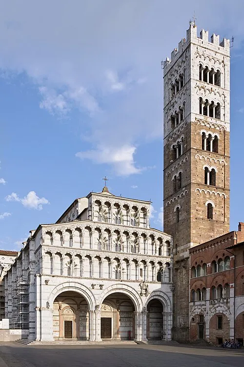 Lucca Cathedral Attraction, Lucca14 km E
-
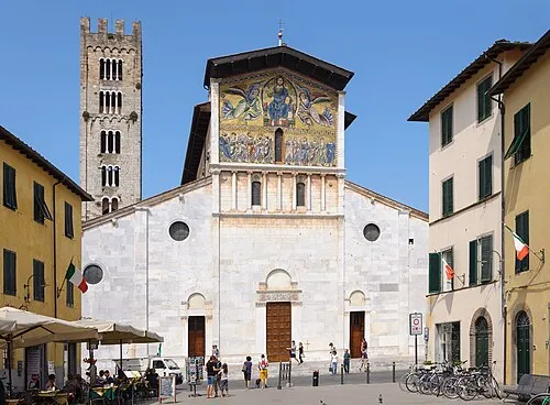 Basilica of San Frediano Attraction, Lucca13 km E
-
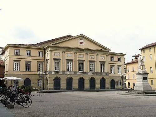 Teatro del Giglio Attraction, Lucca13 km E
-
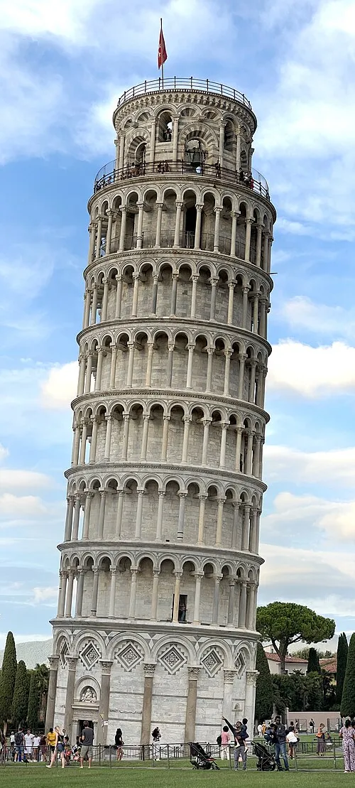 Leaning Tower of Pisa Landmark, Pisa17 km S
-
Spiaggia Lido di Camaiore Beach, Province of Lucca10 km W
-
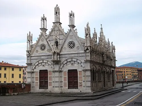 Santa Maria della Spina Attraction, Pisa18 km S
-
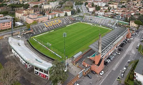 Stadio Porta Elisa Landmark, Lucca14 km E
-
Spiaggia Viareggio Beach, Italy8.1 km W
Sources & licences
Data last updated: