San Giuliano Terme
Located in Province of Pisa, Tuscany Coordinates: 43°45′42″ N 10°26′25″ E
- Population
- 31,195
- 31.2K
- Elevation
- 4 m
- above sea level
- Local time
- UTC+01:00
- Europe/Rome · UTC+01:00
- Places inside
- 35
- listed under San Giuliano Terme
- Airports
- PSA Pisa International Airport9 km
- FLR Florence Airport, Peretola62 km
About San Giuliano Terme
San Giuliano Terme is a municipality. Location: Province of Pisa, Tuscany. Population: 31,195. Elevation: 4 m. The best months to visit are May–June, September. The nearest airport is Pisa International Airport (9 km). Nearby sights include Leaning Tower of Pisa and Santa Maria della Spina.
Photos of San Giuliano Terme
-
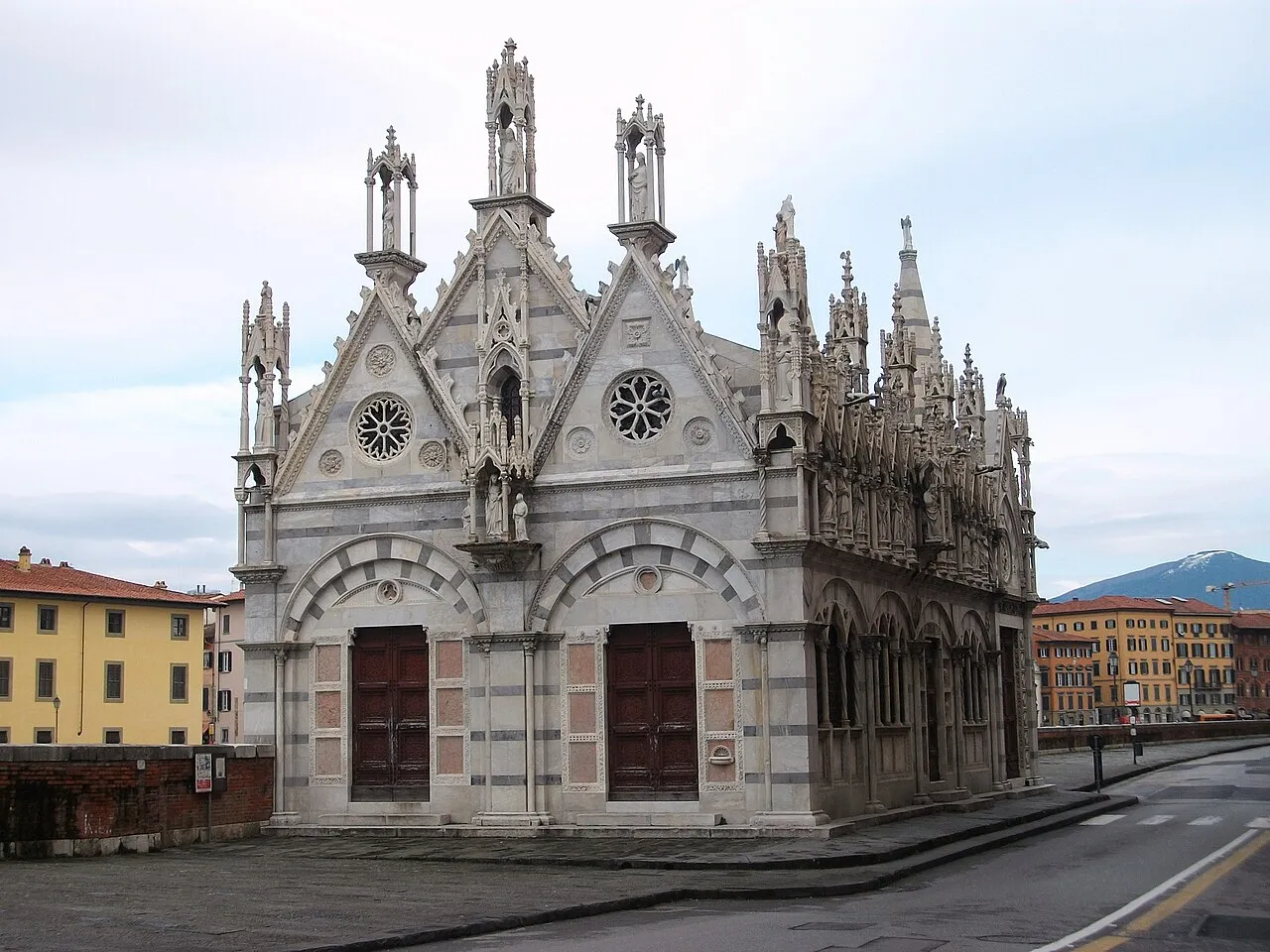
Santa Maria della Spina Joanbanjo · CC BY-SA 3.0 -
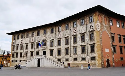
Palazzo della Carovana Zairon · CC BY 4.0 -
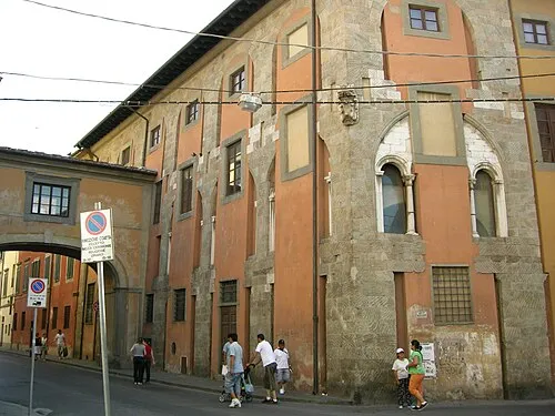
Palazzo delle Vedove sailko · CC BY-SA 3.0 -
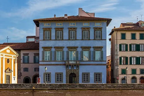
Palazzo Giuli Rosselmini Gualandi Perituss · CC0 -
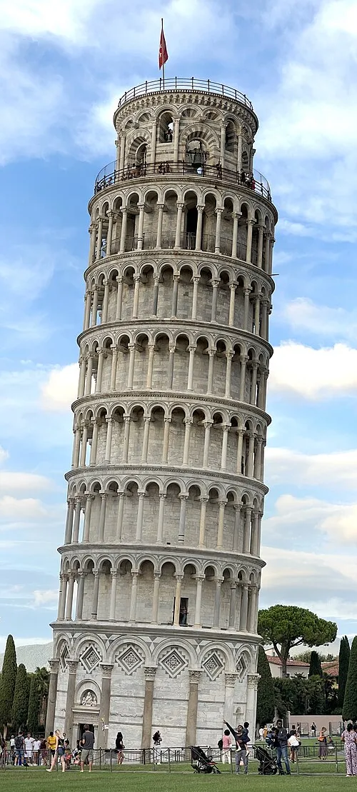
Leaning Tower of Pisa Chabe01 · CC BY-SA 4.0


Climate of San Giuliano Terme
Best months for sightseeingBest months for sightseeing: May–June, September.
This month · November
A wet month
Day 15° · Night 6° · Rain 128 mm
- Hottest month
- July (day 29°)
- Coldest month
- January (night 2°)
- Wettest month
- October (138 mm)
- Driest month
- July (27 mm)
Bars: average monthly low and high temperature. Below: precipitation. Monthly averages for 1970–2000 at about 18 km resolution, adjusted for elevation. Highlighted months are mild and relatively dry. Source: WorldClim 2.1 (CC BY 4.0).
Show values as a table
| Month | Jan | Feb | Mar | Apr | May | Jun | Jul | Aug | Sep | Oct | Nov | Dec |
|---|---|---|---|---|---|---|---|---|---|---|---|---|
| Average high (°C) | 11° | 12° | 15° | 18° | 22° | 26° | 29° | 29° | 26° | 20° | 15° | 11° |
| Average low (°C) | 2° | 3° | 5° | 7° | 11° | 14° | 17° | 17° | 14° | 11° | 6° | 3° |
| Precipitation (mm) | 78 | 62 | 73 | 92 | 66 | 52 | 27 | 55 | 97 | 138 | 128 | 85 |
How to get to San Giuliano Terme
The nearest airport is Pisa International Airport (PSA), 9 km to the southwest as the crow flies. The nearest large city is Nice, 256 km to the west.
Airports
- Pisa International Airport (PSA) Pisa (PI) 9 kmsouthwest
- Florence Airport, Peretola (FLR) Firenze (FI) 62 kmeast
- Bologna Guglielmo Marconi Airport (BLQ) Bologna 110 kmnortheast
Nearby large cities
- Nice Population: 342.7K 256 kmwest
- Rijeka Population: 108K 362 kmnortheast
- Toulon Population: 168.7K 372 kmwest
- Innsbruck Population: 132.5K 396 kmnorth
Straight-line distances; road distances are longer. Airport data: OurAirports.
Day trips from San Giuliano Terme
Within 100 km: 63 historic and cultural sites, 172 natural sites, 40 lakes, rivers and coasts.
0–25 km20 places
- Spiaggia libera per cani Beach 23 kmSW
- La Lecciona Beach 18 kmNW
- Spiaggia Lido di Camaiore Beach 23 kmNW
- Spiaggia Viareggio Beach 20 kmNW
25–60 km126 places
- Poggio di Iavello Mountain 57 kmNE
- Cormorano Beach 58 kmS
- Cala del Leone Beach 34 kmS
- Spiaggia di Calignaia Beach 34 kmS
60–100 km129 places
- Ultima Spiaggia Beach 96 kmS
- Mirollino Beach 93 kmS
- Calamoresca Beach 92 kmS
- Fosso alle Canne Beach 88 kmS
Straight-line distances.
Places in San Giuliano Terme
35 places- 1 Pontasserchio 6.1K
- 2 San Giuliano Terme 2.4K
- 3 Asciano 2.4K
- 4 Gello 2K
- 5 Metato 1.9K
- 6 Madonna dell'Acqua 1.6K
- 7 Campo 1.2K
- 8 Orzignano 1K
- 9 Ripafratta-Farneta 668
- 10 Ponte d'Oro 667
- 11 Agnano 479
- 12 Sant'Andrea in Pescaiola 466
- 13 Cafaggiareggi 428
- 14 Le Maggiola 360
- 15 Piaggia 275
- 16 Pugnano 239
- 17 Arena 204
- 18 Colognole 164
- 19 Patrignone 160
- 20 Cardeta 130
- 21 Castelnuovo 111
- 22 Palazzetto 96
- 23 Carraia Nord 93
- 24 Monsello 93
- 25 Tre Ponti 93
- 26 Corliano 68
- 27 Le Maggiola Nord 66
- 28 Al Simonelli Ovest 45
- 29 San Martino 42
- 30 Gatano 38
- 31 La Casina 31
- 32 Le Maggiola Ovest 31
- 33 Al Simonelli 24
- 34 Cardeta Est 19
- 35 San Iacopo 16
Bar: population relative to the most populous place in this list.
Nearby attractions & nature
Everything nearby-
Leaning Tower of Pisa Landmark, Pisa5.6 km SW
-
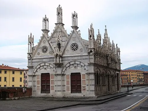 Santa Maria della Spina Attraction, Pisa6.3 km SW
-
Palazzo della Carovana Historic site, Pisa5.7 km SW
-
Palazzo delle Vedove Historic site, Pisa6.1 km SW
-
Palazzo Giuli Rosselmini Gualandi Historic site, Pisa6.1 km SW
-
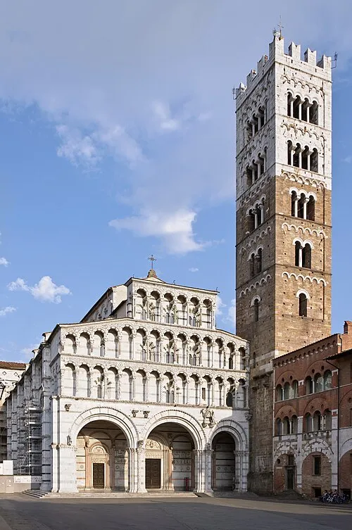 Lucca Cathedral Attraction, Lucca10 km NE
-
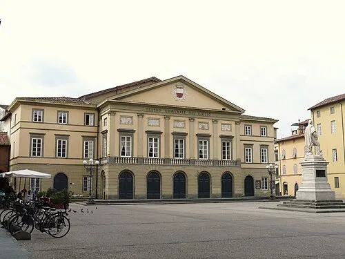 Teatro del Giglio Attraction, Lucca10 km NE
-
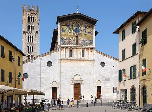 Basilica of San Frediano Attraction, Lucca11 km NE
Sources & licences
Data last updated: