
- Population
- 46
- 46
- Elevation
- 351 m
- above sea level
- Local time
- UTC+01:00
- Europe/Rome · UTC+01:00
- Airports
- PSA Pisa International Airport54 km
- FLR Florence Airport, Peretola54 km
About Mazzolla
Mazzolla is a village. Location: Volterra, Province of Pisa. Population: 46. Elevation: 351 m.
Mazzolla is a village in Tuscany, central Italy, administratively a frazione of the comune of Volterra, province of Pisa. Mazzolla was first mentioned in public documents in 1080. In the 14th and 15th centuries there are mentions of a castle. In the last decades the opulation decreased sensibly: at the time of the 2001 census its population was 46.
Source: Wikipedia · CC BY-SA 4.0
Photos of Mazzolla
-

LigaDue · CC BY-SA 4.0 -

FritzKafka · CC BY-SA 4.0 -
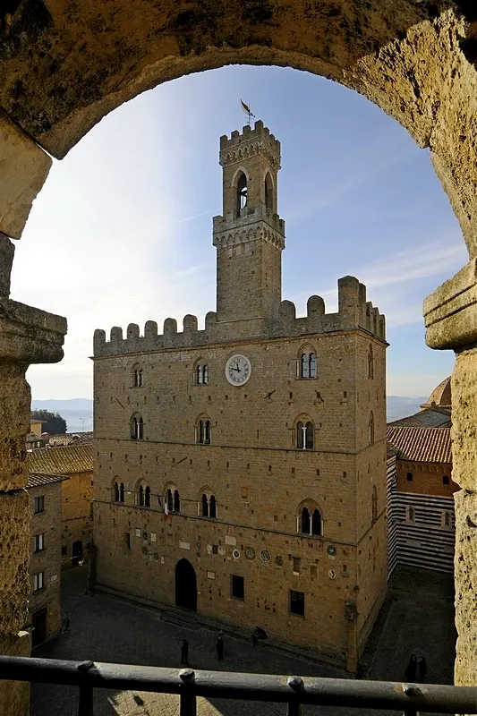
Palazzo dei Priori StefanoCari · CC BY-SA 3.0


Climate of Mazzolla
Best months for sightseeingBest months for sightseeing: May–July, September.
This month · November
A wet month
Day 13° · Night 6° · Rain 101 mm
- Hottest month
- August (day 28°)
- Coldest month
- January (night 2°)
- Wettest month
- November (101 mm)
- Driest month
- July (34 mm)
Bars: average monthly low and high temperature. Below: precipitation. Monthly averages for 1970–2000 at about 18 km resolution, adjusted for elevation. Highlighted months are mild and relatively dry. Source: WorldClim 2.1 (CC BY 4.0).
Show values as a table
| Month | Jan | Feb | Mar | Apr | May | Jun | Jul | Aug | Sep | Oct | Nov | Dec |
|---|---|---|---|---|---|---|---|---|---|---|---|---|
| Average high (°C) | 9° | 10° | 13° | 16° | 20° | 24° | 28° | 28° | 24° | 19° | 13° | 10° |
| Average low (°C) | 2° | 2° | 4° | 7° | 10° | 14° | 16° | 17° | 14° | 10° | 6° | 3° |
| Precipitation (mm) | 63 | 62 | 66 | 72 | 58 | 49 | 34 | 51 | 80 | 93 | 101 | 72 |
Other places to visit in this season: May June July September
How to get to Mazzolla
The nearest airport is Pisa International Airport (PSA), 54 km to the northwest as the crow flies. The nearest large city is Nice, 296 km to the west.
Airports
- Pisa International Airport (PSA) Pisa (PI) 54 kmnorthwest
- Florence Airport, Peretola (FLR) Firenze (FI) 54 kmnortheast
- Marina di Campo Airport (EBA) Campo nell'Elba (LI) 87 kmsouthwest
Nearby large cities
- Nice Population: 342.7K 296 kmwest
- Rijeka Population: 108K 356 kmnortheast
Straight-line distances; road distances are longer. Airport data: OurAirports.
Day trips from Mazzolla
Within 100 km: 144 historic and cultural sites, 199 natural sites, 63 lakes, rivers and coasts.
0–25 km9 places
- Monte Vasone Mountain 19 kmE
- Montagnola Mountain 24 kmSE
- Poggio ai Colli Mountain 10 kmE
- Poggio Casalone Mountain 18 kmSE
25–60 km103 places
- Cala Civette Beach 59 kmS
- Ultima Spiaggia Beach 51 kmS
- Mirollino Beach 50 kmS
- Calamoresca Beach 58 kmSW
60–100 km294 places
- Poggio di Iavello Mountain 68 kmN
- Poggio Mosconcino Mountain 64 kmS
- Parco della Rimembranza Natural site 69 kmS
- Parco di Villa Pizzetti Natural site 70 kmS
Straight-line distances.
Nearby attractions & nature
Everything nearby-
Palazzo dei Priori Historic site, Volterra5.2 km NW
-
Poggio ai Colli Mountain, Colle di Val d'Elsa9.6 km E
-
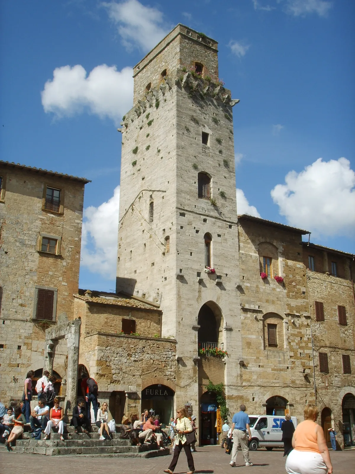 Torre del Diavolo Historic site, San Gimignano16 km NE
-
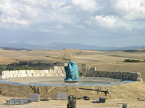 Teatro del Silenzio Attraction, Lajatico18 km NW
-
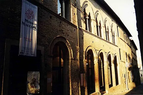 Teatro dei Varii Attraction, Colle di Val d'Elsa18 km E
-
Poggio Casalone Mountain, Radicondoli18 km SE
Other cities and towns in Volterra
-
 Montebradoni Village, Volterra6.8 km NW
-
San Cipriano Village, Volterra8.5 km NW
-
 Pignano Village, Volterra7.3 km NE
-
 Villamagna Village, Volterra14 km NW
-
Ulignano Village, Volterra6.4 km N
-
 Ponsano Village, Volterra6.7 km E
Sources & licences
Data last updated: · 2 independent sources