Sasso d'Ombrone
Located in Cinigiano, Provincia di Grosseto Coordinates: 42°55′54″ N 11°19′34″ E

- Population
- 314
- 314
- Elevation
- 160 m
- above sea level
- Local time
- UTC+01:00
- Europe/Rome · UTC+01:00
- Airports
- EBA Marina di Campo Airport91 km
- FLR Florence Airport, Peretola98 km
About Sasso d'Ombrone
Sasso d'Ombrone is a village. Location: Cinigiano, Provincia di Grosseto. Population: 314. Elevation: 160 m.
Sasso d'Ombrone is a village in Tuscany, central Italy, administratively a frazione of the comune of Cinigiano, province of Grosseto. At the time of the 2001 census its population amounted to 300. Sasso d'Ombrone is about 33 km from Grosseto and 8 km from Cinigiano, and it is situated along the road which links Cinigiano to the Cipressino Provincial Road at Paganico, on a hill in the valley of Ombrone.
Source: Wikipedia · CC BY-SA 4.0
Photos of Sasso d'Ombrone
-

LigaDue · CC BY-SA 4.0 -

LigaDue · CC BY-SA 4.0 -

Alienautic · CC BY-SA 3.0


Climate of Sasso d'Ombrone
Best months for sightseeingBest months for sightseeing: May–June, September–October.
This month · November
Outside the best season
Day 15° · Night 7° · Rain 83 mm
- Hottest month
- July (day 29°)
- Coldest month
- January (night 3°)
- Wettest month
- November (83 mm)
- Driest month
- July (20 mm)
Bars: average monthly low and high temperature. Below: precipitation. Monthly averages for 1970–2000 at about 18 km resolution, adjusted for elevation. Highlighted months are mild and relatively dry. Source: WorldClim 2.1 (CC BY 4.0).
Show values as a table
| Month | Jan | Feb | Mar | Apr | May | Jun | Jul | Aug | Sep | Oct | Nov | Dec |
|---|---|---|---|---|---|---|---|---|---|---|---|---|
| Average high (°C) | 11° | 11° | 14° | 17° | 22° | 26° | 29° | 29° | 25° | 20° | 15° | 11° |
| Average low (°C) | 3° | 3° | 5° | 7° | 11° | 14° | 17° | 18° | 15° | 11° | 7° | 4° |
| Precipitation (mm) | 51 | 49 | 49 | 51 | 45 | 31 | 20 | 36 | 67 | 74 | 83 | 60 |
Other places to visit in this season: May June September October
How to get to Sasso d'Ombrone
The nearest airport is Marina di Campo Airport (EBA), 91 km to the west as the crow flies. For international flights: Florence Airport, Peretola (FLR) (98 km). The nearest large city is Nice, 340 km to the west.
Airports
- Marina di Campo Airport (EBA) Campo nell'Elba (LI) 91 kmwest
- Florence Airport, Peretola (FLR) Firenze (FI) 98 kmnorth
- Perugia San Francesco d'Assisi – Umbria International Airport (PEG) Perugia (PG) 98 kmeast
Nearby large cities
- Nice Population: 342.7K 340 kmwest
- Rijeka Population: 108K 365 kmnortheast
Straight-line distances; road distances are longer. Airport data: OurAirports.
Day trips from Sasso d'Ombrone
Within 100 km: 130 historic and cultural sites, 122 natural sites, 61 lakes, rivers and coasts.
0–25 km11 places
- Poggio Mosconcino Mountain 20 kmSW
- Sassoforte Mountain 22 kmNW
- Poggio Moscona Mountain 19 kmSW
- Santa Teresa di Calcutta Attraction 24 kmSW
25–60 km148 places
- Parco della Rimembranza Natural site 25 kmSW
- Parco di Villa Pizzetti Natural site 27 kmSW
- Parco del fiume Ombrone Silvano Signori Natural site 25 kmSW
- La capannuccia Beach 57 kmS
60–100 km154 places
- Boca Do Mar Beach 91 kmS
- Ultima Spiaggia Beach 62 kmS
- Siaggia delle graticciare Beach 63 kmS
- Riva del Marchese Beach 61 kmS
Straight-line distances.
Nearby attractions & nature
Everything nearby-
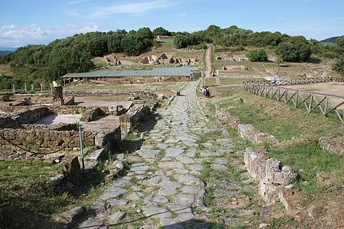 Rovine di Roselle Historic site, Province of Grosseto18 km SW
-
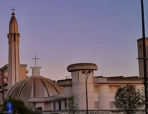 Santa Famiglia Attraction, Province of Grosseto24 km SW
-
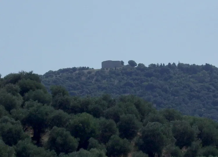 Tino di Moscona Historic site, Province of Grosseto19 km SW
-
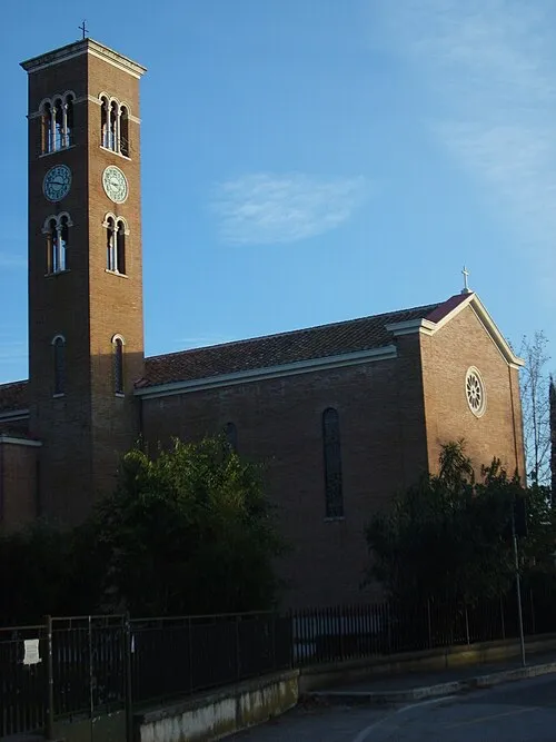 Immacolata Concezione Attraction, Province of Grosseto20 km SW
-
Santa Teresa di Calcutta Attraction, Province of Grosseto24 km SW
-
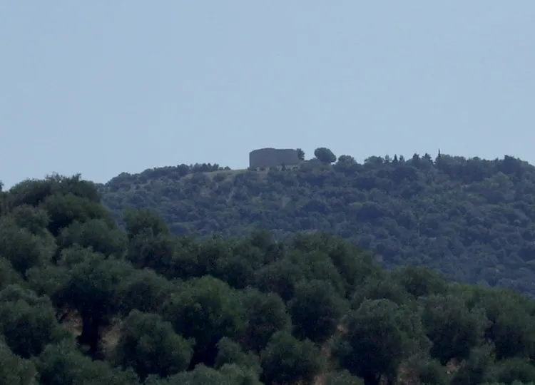 Poggio Moscona Mountain, Province of Grosseto19 km SW
Other cities and towns in Cinigiano
-
La Cava Village, Cinigiano3.3 km S
-
 Borgo Santa Rita Village, Cinigiano5.3 km NE
-
 Porrona Village, Cinigiano7.1 km E
-
Cinigiano Village, Cinigiano7.1 km SE
-
 Castiglioncello Bandini Village, Cinigiano11 km SE
-
 Monticello Amiata Village, Cinigiano13 km E
Sources & licences
Data last updated: · 2 independent sources