Batignano
Located in Province of Grosseto, Provincia di Grosseto Coordinates: 42°52′00″ N 11°10′00″ E

- Population
- 619
- 619
- Elevation
- 150 m
- above sea level
- Local time
- UTC+01:00
- Europe/Rome · UTC+01:00
- Airports
- EBA Marina di Campo Airport77 km
- FLR Florence Airport, Peretola105 km
About Batignano
Batignano is a village. Location: Province of Grosseto, Provincia di Grosseto. Population: 619. Elevation: 150 m.
Batignano (Italian: [batiɲˈɲaːno]) is a small town in southern Tuscany, a frazione of the comune of Grosseto, positioned at about 10 km north-east of the capital on one of the last foot-hills of the valley of Ombrone which dominated the ancient city of Roselle.
Source: Wikipedia · CC BY-SA 4.0
Photos of Batignano
-

LigaDue · CC BY 3.0 -

EffeCi79 · CC BY-SA 3.0 -

EffeCi79 · CC BY-SA 3.0 -
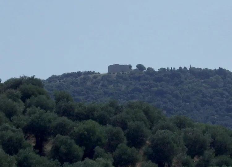
Poggio Moscona Petitverdot : Matteo Vinattieri · CC BY 3.0 -
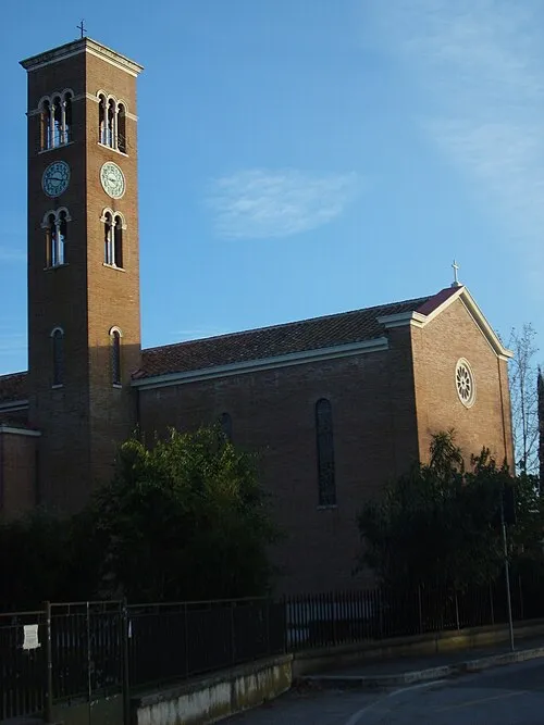
Immacolata Concezione Alienautic · Public domain


Climate of Batignano
Best months for sightseeingBest months for sightseeing: May–June, September–October.
This month · November
Outside the best season
Day 15° · Night 7° · Rain 83 mm
- Hottest month
- July (day 29°)
- Coldest month
- January (night 3°)
- Wettest month
- November (83 mm)
- Driest month
- July (20 mm)
Bars: average monthly low and high temperature. Below: precipitation. Monthly averages for 1970–2000 at about 18 km resolution, adjusted for elevation. Highlighted months are mild and relatively dry. Source: WorldClim 2.1 (CC BY 4.0).
Show values as a table
| Month | Jan | Feb | Mar | Apr | May | Jun | Jul | Aug | Sep | Oct | Nov | Dec |
|---|---|---|---|---|---|---|---|---|---|---|---|---|
| Average high (°C) | 11° | 11° | 14° | 17° | 22° | 26° | 29° | 29° | 25° | 20° | 15° | 11° |
| Average low (°C) | 3° | 3° | 5° | 7° | 11° | 14° | 17° | 18° | 15° | 11° | 7° | 4° |
| Precipitation (mm) | 51 | 49 | 49 | 51 | 45 | 31 | 20 | 36 | 67 | 74 | 83 | 60 |
Other places to visit in this season: May June September October
How to get to Batignano
The nearest airport is Marina di Campo Airport (EBA), 77 km to the west as the crow flies. For international flights: Florence Airport, Peretola (FLR) (105 km). The nearest large city is Nice, 330 km to the west.
Airports
- Marina di Campo Airport (EBA) Campo nell'Elba (LI) 77 kmwest
- Florence Airport, Peretola (FLR) Firenze (FI) 105 kmnorth
- Pisa International Airport (PSA) Pisa (PI) 110 kmnorthwest
Nearby large cities
- Nice Population: 342.7K 330 kmwest
- Rijeka Population: 108K 379 kmnortheast
Straight-line distances; road distances are longer. Airport data: OurAirports.
Day trips from Batignano
Within 100 km: 112 historic and cultural sites, 121 natural sites, 63 lakes, rivers and coasts.
0–25 km102 places
- Poggio Mosconcino Mountain 6 kmSW
- Parco della Rimembranza Natural site 12 kmS
- Parco di Villa Pizzetti Natural site 13 kmSW
- Parco del fiume Ombrone Silvano Signori Natural site 13 kmS
25–60 km72 places
- Ultima Spiaggia Beach 59 kmSE
- Siaggia delle graticciare Beach 60 kmSE
- Riva del Marchese Beach 53 kmS
- La capannuccia Beach 51 kmS
60–100 km122 places
- Boca Do Mar Beach 91 kmSE
- Cormorano Beach 67 kmNW
- Cala del Leone Beach 94 kmNW
- Spiaggia di Calignaia Beach 94 kmNW
Straight-line distances.
Nearby attractions & nature
Everything nearby-
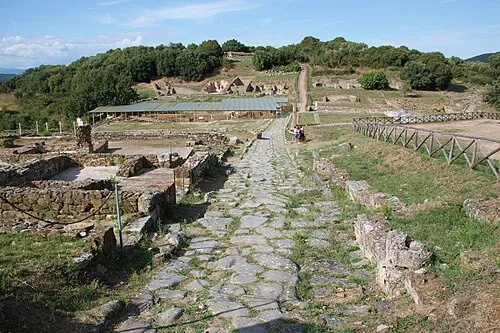 Rovine di Roselle Historic site, Province of Grosseto4.4 km S
-
Poggio Moscona Mountain, Province of Grosseto5.9 km S
-
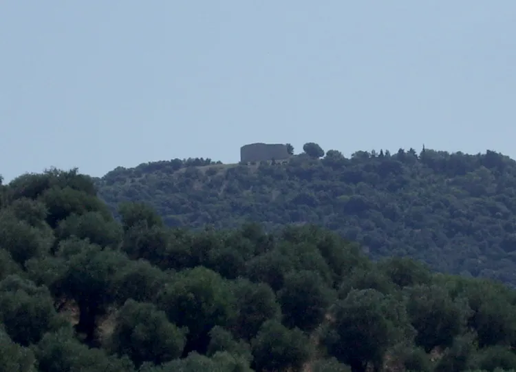 Tino di Moscona Historic site, Province of Grosseto6 km S
-
Immacolata Concezione Attraction, Province of Grosseto6.8 km S
-
Poggio Mosconcino Mountain, Province of Grosseto5.7 km SW
-
Sant'Antonio Abate Attraction, Province of Grosseto6.3 km SW
Other cities and towns in Province of Grosseto
-
 Braccagni Village, Province of Grosseto7.7 km W
-
Casalecci Village, Province of Grosseto10 km S
-
Istia D'Ombrone-Le Stiacciole Village, Province of Grosseto9.5 km S
-
Rugginosina Village, Province of Grosseto10 km SW
-
 Principina Terra Village, Province of Grosseto17 km SW
-
 Rispescia Village, Province of Grosseto18 km S
Sources & licences
Data last updated: · 2 independent sources