
- Population
- 37
- 37
- Elevation
- 367 m
- above sea level
- Local time
- UTC+01:00
- Europe/Rome · UTC+01:00
- Airports
- PEG Perugia San Francesco d'Assisi – Umbria International Airport22 km
- RMI Federico Fellini International Airport100 km
About Antria
Antria is a village. Location: Magione, Province of Perugia. Population: 37. Elevation: 367 m.
Perugia ( pə-ROO-jə, US also -jee-ə, pay-; Italian: [peˈruːdʒa] ; Latin: Perusia) is the capital city of Umbria and the province of Perugia in central Italy, crossed by the River Tiber. The city is located about 164 km (102 mi) north of Rome and 148 km (92 mi) southeast of Florence. It covers a high hilltop and part of the valleys around the area. With a population of 162,384, it is the 23rd-largest city in Italy.
Source: Wikipedia · CC BY-SA 4.0
Photos of Antria
-

LigaDue · CC BY-SA 4.0 -

LigaDue · CC BY-SA 4.0 -

LigaDue · CC BY-SA 4.0


Climate of Antria
Best months for sightseeingBest months for sightseeing: May–July, September.
This month · November
Outside the best season
Day 12° · Night 5° · Rain 85 mm
- Hottest month
- July (day 29°)
- Coldest month
- January (night 1°)
- Wettest month
- November (85 mm)
- Driest month
- July (29 mm)
Bars: average monthly low and high temperature. Below: precipitation. Monthly averages for 1970–2000 at about 18 km resolution, adjusted for elevation. Highlighted months are mild and relatively dry. Source: WorldClim 2.1 (CC BY 4.0).
Show values as a table
| Month | Jan | Feb | Mar | Apr | May | Jun | Jul | Aug | Sep | Oct | Nov | Dec |
|---|---|---|---|---|---|---|---|---|---|---|---|---|
| Average high (°C) | 8° | 9° | 13° | 16° | 21° | 25° | 29° | 29° | 24° | 18° | 12° | 9° |
| Average low (°C) | 1° | 1° | 3° | 6° | 10° | 13° | 16° | 16° | 13° | 9° | 5° | 2° |
| Precipitation (mm) | 44 | 52 | 53 | 61 | 61 | 51 | 29 | 43 | 67 | 78 | 85 | 65 |
Other places to visit in this season: May June July September
How to get to Antria
The nearest airport is Perugia San Francesco d'Assisi – Umbria International Airport (PEG), 22 km to the east as the crow flies. The nearest large city is Rijeka, 298 km to the northeast.
Airports
- Perugia San Francesco d'Assisi – Umbria International Airport (PEG) Perugia (PG) 22 kmeast
- Federico Fellini International Airport (RMI) Rimini (RN) 100 kmnorth
- Marche Airport (AOI) Falconara Marittima (AN) 103 kmnortheast
Nearby large cities
- Rijeka Population: 108K 298 kmnortheast
- Split Population: 149.8K 341 kmeast
- Ljubljana Population: 272.2K 368 kmnortheast
Straight-line distances; road distances are longer. Airport data: OurAirports.
Day trips from Antria
Within 100 km: 32 historic and cultural sites, 284 natural sites, 17 lakes, rivers and coasts.
0–25 km4 places
- Isola Polvese Island 11 kmSW
- Palazzo dei Priori Historic site 12 kmSE
- Stadio Renato Curi Landmark 10 kmSE
- Museo del vino Museum 20 kmSE
25–60 km49 places
- Appennino Umbro Mountain 26 kmE
- Monte del Pantano Mountain 49 kmNE
- Monte Vergozze Mountain 57 kmSE
- Monte Serra Santa Mountain 46 kmE
60–100 km280 places
- Poggio Mosconcino Mountain 99 kmW
- Valle Cerrese Natural site 96 kmS
- Augusto Stefano Beach 98 kmNE
- Spiaggia Cattolica Beach 98 kmNE
Straight-line distances.
Nearby attractions & nature
Everything nearby-
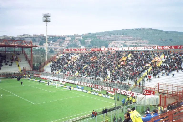 Stadio Renato Curi Landmark, Perugia9.7 km SE
-
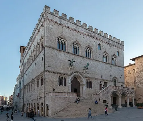 Palazzo dei Priori Historic site, Perugia12 km SE
-
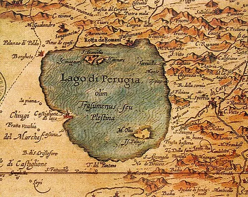 Isola Polvese Island, Castiglione del Lago11 km SW
-
 Museo del vino Museum, Torgiano20 km SE
Other cities and towns in Magione
-
 Torricella Village, Magione5.8 km W
-
 Montecolognola Village, Magione5.5 km W
-
 San Savino Village, Magione7.5 km SW
-
La Valle Village, Magione4.1 km SW
-
Canale Village, Magione4.4 km SW
-
 San Feliciano Village, Magione8.6 km SW
Sources & licences
Data last updated: · 2 independent sources