- Population
- 16
- 16
- Elevation
- 1,099 m
- above sea level
- Local time
- UTC+01:00
- Europe/Rome · UTC+01:00
- Airports
- BZO Bolzano Airport56 km
- TSF Treviso Airport66 km
About Pette
Pette is a village. Location: Gosaldo, Province of Belluno. Population: 16. Elevation: 1,099 m. The best months to visit are June–September. The nearest airport is Bolzano Airport (56 km). Nearby sights include Punta Caldrolon and Cima Sforcelloni.
Photos of Pette
-
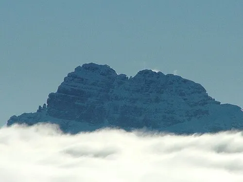
Sass de Mura The original uploader was SuperPT at Italian Wikipedia · CC BY-SA 3.0 -
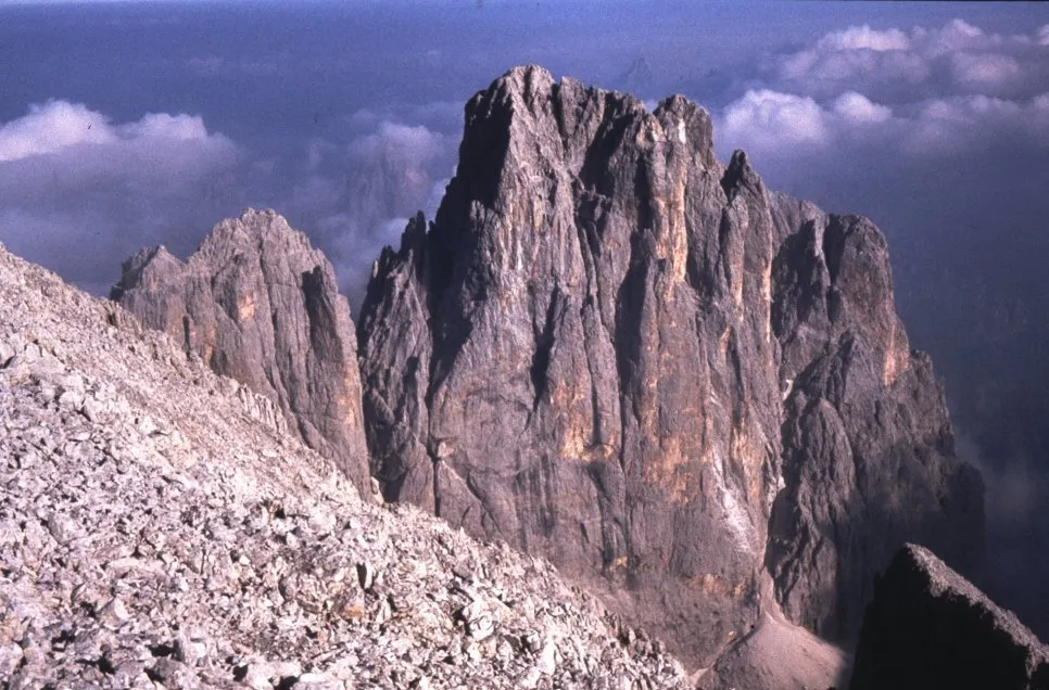
Cima Canali F. Gelhard. Original uploader was Springginggelar at de.wikipedia · Public domain -
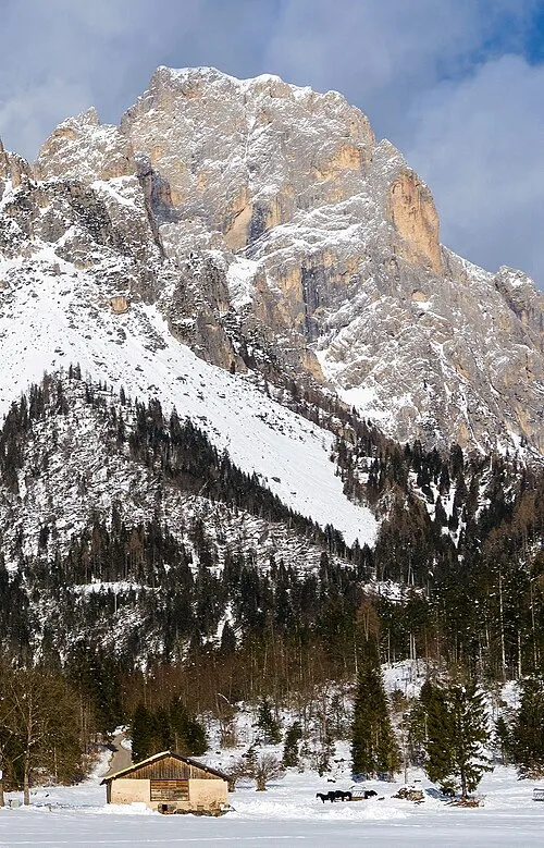
Cima di Lastei Marco Ober · CC BY-SA 4.0 -
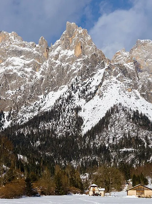
Cima d'Ostio Marco Ober · CC BY-SA 4.0


Climate of Pette
Best months for sightseeingBest months for sightseeing: June–September.
This month · November
A cold month
Day 7° · Night 1° · Rain 75 mm
- Hottest month
- July (day 21°)
- Coldest month
- February (night -3°)
- Wettest month
- July (127 mm)
- Driest month
- January (40 mm)
Bars: average monthly low and high temperature. Below: precipitation. Monthly averages for 1970–2000 at about 18 km resolution, adjusted for elevation. Highlighted months are mild and relatively dry. Source: WorldClim 2.1 (CC BY 4.0).
Show values as a table
| Month | Jan | Feb | Mar | Apr | May | Jun | Jul | Aug | Sep | Oct | Nov | Dec |
|---|---|---|---|---|---|---|---|---|---|---|---|---|
| Average high (°C) | 3° | 4° | 7° | 10° | 15° | 18° | 21° | 21° | 17° | 13° | 7° | 4° |
| Average low (°C) | -3° | -3° | 0° | 3° | 7° | 11° | 13° | 13° | 10° | 6° | 1° | -2° |
| Precipitation (mm) | 40 | 42 | 53 | 68 | 101 | 120 | 127 | 123 | 100 | 93 | 75 | 43 |
Other places to visit in this season: June July August September
How to get to Pette
The nearest airport is Bolzano Airport (BZO), 56 km to the northwest as the crow flies. For international flights: Treviso Airport (TSF) (66 km). The nearest large city is Innsbruck, 124 km to the north.
Airports
- Bolzano Airport (BZO) Bolzano (BZ) 56 kmnorthwest
- Treviso Airport (TSF) Treviso (TV) 66 kmsouth
- Venice Marco Polo Airport (VCE) Venezia (VE) 85 kmsouth
Nearby large cities
- Innsbruck Population: 132.5K 124 kmnorth
- Klagenfurt Population: 100.3K 186 kmeast
- Salzburg Population: 157.2K 195 kmnortheast
- Ljubljana Population: 272.2K 198 kmeast
- Munich Population: 1.5M 216 kmnorth
Straight-line distances; road distances are longer. Airport data: OurAirports.
Day trips from Pette
Within 100 km: 68 historic and cultural sites, 2,084 natural sites, 99 lakes, rivers and coasts.
0–25 km150 places
- Monte Croce Mountain 25 kmSE
- Monte Narumal Mountain 24 kmSE
- Col Moscher Mountain 23 kmS
- Sasso di Valfredda Mountain 23 kmN
25–60 km582 places
- Piz Gralba Mountain 36 kmN
- Piz Miara Mountain 36 kmN
- Croda Nera Mountain 28 kmNW
- Mislkopf Mountain 34 kmW
60–100 km1,519 places
- Burano Island 89 kmSE
- Sacca Fisola Island 92 kmS
- San Clemente Island 94 kmS
- Spadalone Mountain 96 kmW
Straight-line distances.
Nearby attractions & nature
Everything nearby-
Punta Caldrolon Mountain, Gosaldo3.5 km W
-
Cima Sforcelloni Mountain, Gosaldo3.6 km NW
-
Cima d'Oltro Mountain, Veneto3.8 km W
-
Punta della Madonna Mountain, Veneto3.7 km NW
-
Croda Granda Mountain, Taibon Agordino4.3 km NW
-
Sasso d'Ortiga Mountain, Veneto4 km NW
Sources & licences
Data last updated: · 2 independent sources