San Biagio di Callalta
Located in Province of Treviso, Veneto Coordinates: 45°41′09″ N 12°22′50″ E
- Population
- 13,046
- 13K
- Elevation
- 12 m
- above sea level
- Local time
- UTC+01:00
- Europe/Rome · UTC+01:00
- Places inside
- 27
- listed under San Biagio di Callalta
- Airports
- TSF Treviso Airport15 km
- VCE Venice Marco Polo Airport20 km
About San Biagio di Callalta
San Biagio di Callalta is a municipality. Location: Province of Treviso, Veneto. Population: 13,046. Elevation: 12 m. The best months to visit are May–June, September. The nearest airport is Treviso Airport (15 km). Nearby sights include Stadio Omobono Tenni and Palazzo dei Trecento.
Climate of San Biagio di Callalta
Best months for sightseeingBest months for sightseeing: May–June, September.
This month · November
Outside the best season
Day 12° · Night 3° · Rain 82 mm
- Hottest month
- July (day 29°)
- Coldest month
- January (night -1°)
- Wettest month
- June (98 mm)
- Driest month
- February (46 mm)
Bars: average monthly low and high temperature. Below: precipitation. Monthly averages for 1970–2000 at about 18 km resolution, adjusted for elevation. Highlighted months are mild and relatively dry. Source: WorldClim 2.1 (CC BY 4.0).
Show values as a table
| Month | Jan | Feb | Mar | Apr | May | Jun | Jul | Aug | Sep | Oct | Nov | Dec |
|---|---|---|---|---|---|---|---|---|---|---|---|---|
| Average high (°C) | 7° | 9° | 13° | 17° | 23° | 26° | 29° | 28° | 24° | 18° | 12° | 8° |
| Average low (°C) | -1° | 0° | 4° | 7° | 12° | 16° | 18° | 18° | 14° | 9° | 3° | 0° |
| Precipitation (mm) | 57 | 46 | 62 | 79 | 88 | 98 | 72 | 77 | 84 | 92 | 82 | 62 |
How to get to San Biagio di Callalta
The nearest airport is Treviso Airport (TSF), 15 km to the west as the crow flies. The nearest large city is Rijeka, 166 km to the east.
Airports
- Treviso Airport (TSF) Treviso (TV) 15 kmwest
- Venice Marco Polo Airport (VCE) Venezia (VE) 20 kmsouth
- Trieste Airport (TRS) Ronchi dei Legionari/Trieste 86 kmeast
Nearby large cities
- Rijeka Population: 108K 166 kmeast
- Ljubljana Population: 272.2K 170 kmeast
- Klagenfurt Population: 100.3K 182 kmnortheast
- Innsbruck Population: 132.5K 191 kmnorthwest
- Salzburg Population: 157.2K 240 kmnorth
Straight-line distances; road distances are longer. Airport data: OurAirports.
Day trips from San Biagio di Callalta
Within 100 km: 51 historic and cultural sites, 705 natural sites, 37 lakes, rivers and coasts.
0–25 km7 places
- Burano Island 22 kmS
- San Giacomo in Paludo Island 24 kmS
- La Cura Island 21 kmS
- Teatro Accademia Attraction 23 kmN
25–60 km147 places
- Sacca Fisola Island 29 kmS
- San Clemente Island 31 kmS
- Spiaggia di Caorle Beach 40 kmE
- Spiaggia di Levante Beach 41 kmE
60–100 km639 places
- Dragonja River 97 kmE
- Croda Nera Mountain 95 kmNW
- Mislkopf Mountain 85 kmNW
- Santa Corona Attraction 67 kmW
Straight-line distances.
Places in San Biagio di Callalta
27 places- 1 San Floriano-Olmi 3.7K
- 2 San Biagio di Callalta 2.6K
- 3 Cavrie 852
- 4 Bocca Callalta 581
- 5 Fagarè 550
- 6 Rovarè 526
- 7 Sant'Andrea di Barbarana 322
- 8 Via Matteotti 203
- 9 Borgo Verde (Bivio Cavriè) 165
- 10 San Martino 158
- 11 Spercenigo 149
- 12 Partisioni 91
- 13 San Francesco 60
- 14 Bosco 59
- 15 Fossa 57
- 16 Calbassa (Castello) 56
- 17 Levada 55
- 18 Santa Caterina 54
- 19 Case Coldebella Forlin 46
- 20 Momesso 44
- 21 Case Lorenzon 38
- 22 Case Bonetto 32
- 23 Via Pascoli 32
- 24 Creta 29
- 25 Zanette 28
- 26 Ca' Lion 26
- 27 Santa Menna 24
Bar: population relative to the most populous place in this list.
Nearby attractions & nature
Everything nearby-
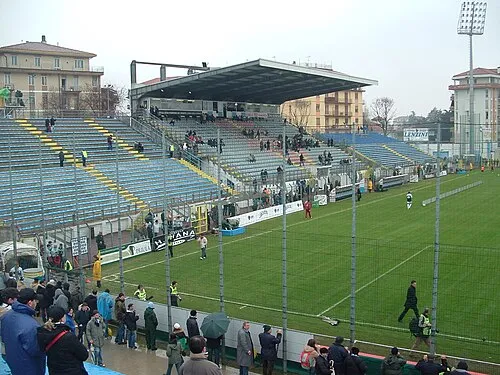 Stadio Omobono Tenni Landmark, Treviso9.8 km W
-
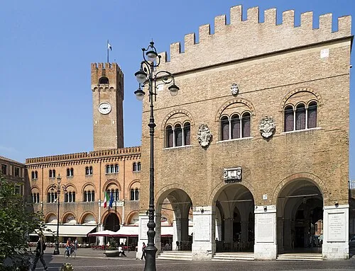 Palazzo dei Trecento Historic site, Treviso11 km W
-
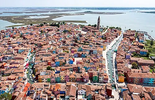 Burano Island, Venice22 km S
-
La Cura Island, Venice21 km S
-
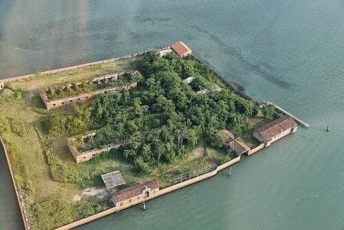 San Giacomo in Paludo Island, Venice24 km S
-
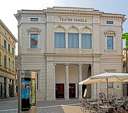 Teatro Toniolo Attraction, Venice24 km SW
-
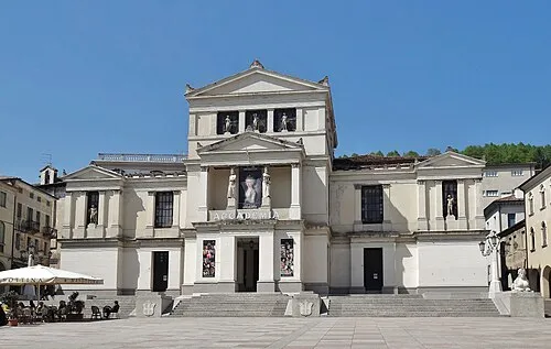 Teatro Accademia Attraction, Conegliano23 km N
Sources & licences
Data last updated: