Liberty Bridge
Local name: Ponte della Libertà
Located in Venice, Province of Venice Coordinates: 45°27′24″ N 12°17′36″ E
- Local time
- UTC+01:00
- Europe/Rome · UTC+01:00
- Elevation
- 0 m
- above sea level
- Airports
- VCE Venice Marco Polo Airport7 km
- TSF Treviso Airport23 km
About Liberty Bridge
Liberty Bridge is a landmark. Location: Venice, Province of Venice.
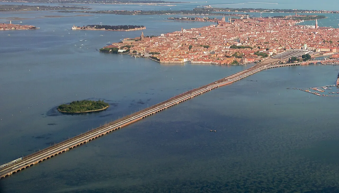
The Ponte della Libertà (Liberty Bridge) is a road bridge connecting the islands that form the historical centre of the city of Venice to the mainland part of the city. Designed in 1932 by engineer Eugenio Miozzi, it was opened by Benito Mussolini in 1933 as Ponte Littorio ("Lictor's bridge") – a name used during the Fascist era for several other Italian bridges. At the end of World War II it was renamed Ponte della Libertà to honour the end of the Fascist dictatorship and of the Nazi occupation.
Source: Wikipedia · CC BY-SA 4.0
At a glance
- Built
- 1841
- Architect
- Tommaso Meduna, Giovanni Milani, Eugenio Miozzi
- Length
- 3.8 km
Source: Wikidata
Photos of Liberty Bridge
-

Didier Descouens · CC BY-SA 4.0 -

TheRunnerUp · CC BY-SA 4.0 -

Fortepan — ID 93432 : Adományozó/Donor: Közösségi Szociális Szövetkezet · CC BY-SA 3.0 -

Oursana · CC0 -

José Martín Ramírez Carrasco · CC0


Climate of Liberty Bridge
Best months for sightseeingBest months for sightseeing: May–June, September.
This month · November
A cold month
Day 12° · Night 4° · Rain 69 mm
- Hottest month
- July (day 28°)
- Coldest month
- January (night 0°)
- Wettest month
- October (82 mm)
- Driest month
- February (45 mm)
Bars: average monthly low and high temperature. Below: precipitation. Monthly averages for 1970–2000 at about 18 km resolution, adjusted for elevation. Highlighted months are mild and relatively dry. Source: WorldClim 2.1 (CC BY 4.0).
Show values as a table
| Month | Jan | Feb | Mar | Apr | May | Jun | Jul | Aug | Sep | Oct | Nov | Dec |
|---|---|---|---|---|---|---|---|---|---|---|---|---|
| Average high (°C) | 6° | 9° | 13° | 17° | 22° | 26° | 28° | 28° | 24° | 18° | 12° | 7° |
| Average low (°C) | 0° | 1° | 4° | 8° | 13° | 17° | 19° | 18° | 15° | 10° | 4° | 1° |
| Precipitation (mm) | 55 | 45 | 51 | 66 | 69 | 79 | 58 | 68 | 70 | 82 | 69 | 57 |
How to get to Liberty Bridge
The nearest airport is Venice Marco Polo Airport (VCE), 7 km to the northeast as the crow flies. The nearest large city is Rijeka, 169 km to the east.
Airports
- Venice Marco Polo Airport (VCE) Venezia (VE) 7 kmnortheast
- Treviso Airport (TSF) Treviso (TV) 23 kmnorth
- Trieste Airport (TRS) Ronchi dei Legionari/Trieste 100 kmnortheast
Nearby large cities
- Rijeka Population: 108K 169 kmeast
- Ljubljana Population: 272.2K 184 kmeast
- Klagenfurt Population: 100.3K 203 kmnortheast
- Innsbruck Population: 132.5K 212 kmnorth
- Salzburg Population: 157.2K 267 kmnorth
Straight-line distances; road distances are longer. Airport data: OurAirports.
Day trips from Liberty Bridge
Within 100 km: 53 historic and cultural sites, 356 natural sites, 36 lakes, rivers and coasts.
0–25 km46 places
- Burano Island 10 kmE
- Sacca Fisola Island 4 kmSE
- San Clemente Island 6 kmSE
- Spiaggia Sorriso Beach 8 kmSE
25–60 km58 places
- Spiaggia di Caorle Beach 48 kmE
- Spiaggia di Levante Beach 50 kmE
- Santa Corona Attraction 59 kmW
- Spiaggia di Sottomarina Beach 27 kmS
60–100 km341 places
- Lido di Pomposa Beach 82 kmS
- Mislkopf Mountain 98 kmNW
- Savudrija Lighthouse Landmark 94 kmE
- Spiaggia Lido di Fido Beach 90 kmE
Straight-line distances.
Nearby attractions & nature
Everything nearby-
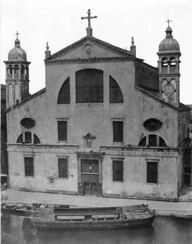 Santa Lucia Attraction, Venice2.8 km SE
-
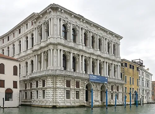 Ca' Pesaro Historic site, Venice3.5 km SE
-
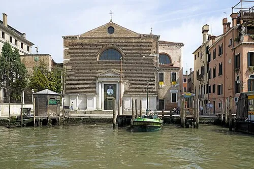 San Marcuola Attraction, Venice3.2 km SE
-
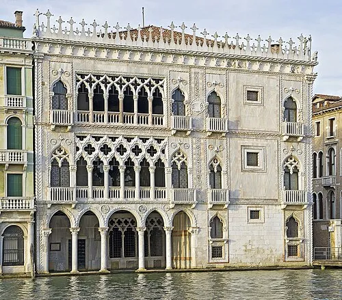 Ca' d'Oro Historic site, Venice3.6 km SE
-
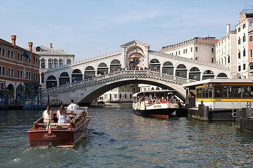 Rialto Bridge Landmark, Venice3.9 km SE
-
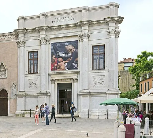 Gallerie dell'Accademia Museum, Venice3.9 km SE
-
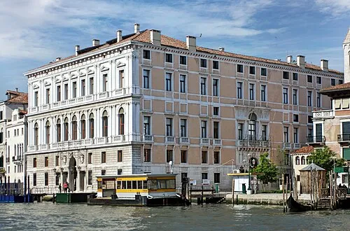 Palazzo Grassi Museum, Venice3.7 km SE
-
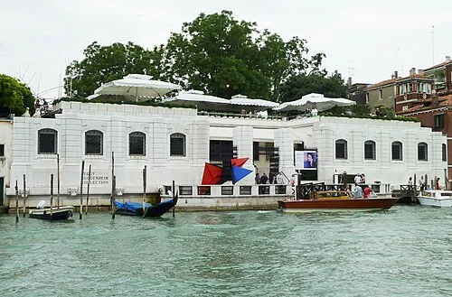 Peggy Guggenheim Collection Museum, Venice4.1 km SE
Nearest towns and villages
-
Campalto Village, Venice2.7 km N
-
Bagaron Village, Venice3.2 km N
-
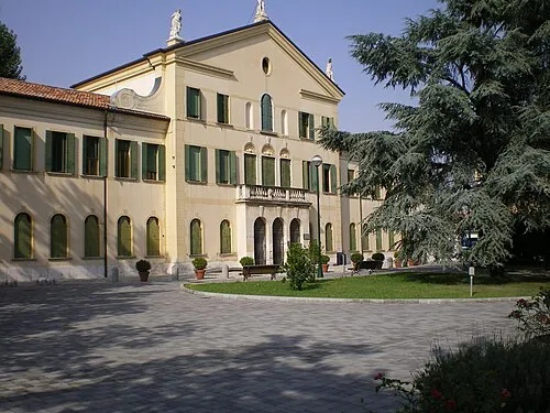 Favaro Veneto Town, Venice4.8 km N
-
Giudecca Town, Venice4.5 km SE
More sights in Venice
-
Museo Correr Museum, Venice4.3 km SE
-
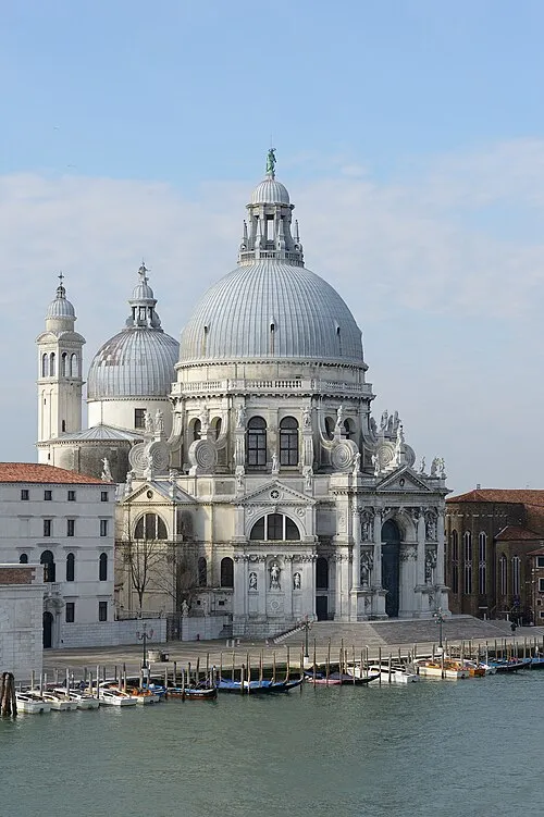 Santa Maria della Salute Attraction, Venice4.3 km SE
-
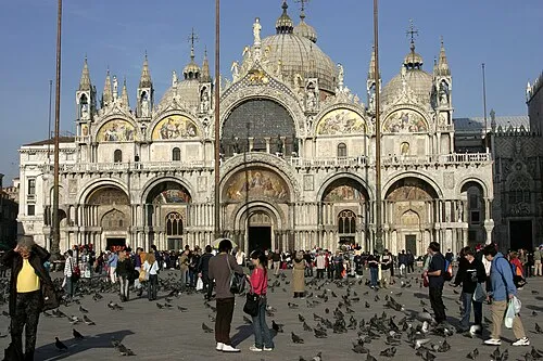 St Mark's Basilica Attraction, Venice4.4 km SE
-
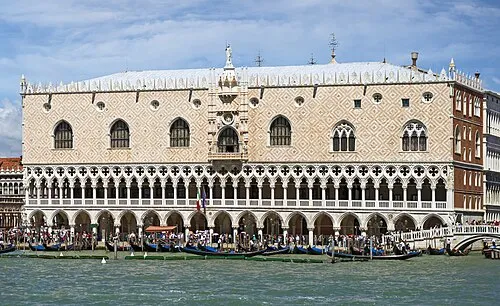 Doge's Palace Historic site, Venice4.5 km SE
-
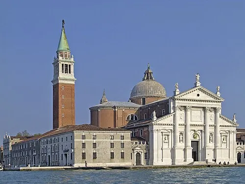 Church of San Giorgio Maggiore Attraction, Venice5 km SE
-
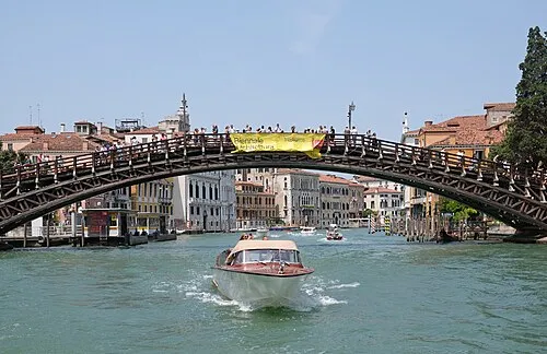 Ponte dell'Accademia Landmark, Venice3.9 km SE
Sources & licences
Data last updated: · 2 independent sources