Negrar di Valpolicella
Located in Province of Verona, Veneto Coordinates: 45°31′44″ N 10°56′17″ E
- Population
- 17,096
- 17.1K
- Elevation
- 183 m
- above sea level
- Local time
- UTC+01:00
- Europe/Rome · UTC+01:00
- Places inside
- 22
- listed under Negrar di Valpolicella
- Airports
- VRN Verona Villafranca Valerio Catullo Airport15 km
- VBS Brescia Gabriele d'Annunzio Airport49 km
About Negrar di Valpolicella
Negrar di Valpolicella is a municipality. Location: Province of Verona, Veneto. Population: 17,096. Elevation: 183 m. The best months to visit are May–June, September. The nearest airport is Verona Villafranca Valerio Catullo Airport (15 km). Nearby sights include Valpantena and Ponte Pietra.
Photos of Negrar di Valpolicella
-
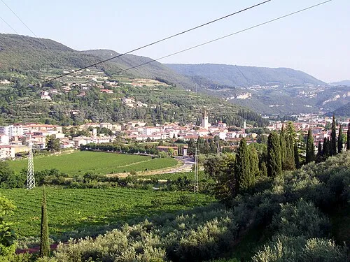
Valpantena MZ14 · CC0

Climate of Negrar di Valpolicella
Best months for sightseeingBest months for sightseeing: May–June, September.
This month · November
A cold month
Day 11° · Night 4° · Rain 57 mm
- Hottest month
- July (day 29°)
- Coldest month
- January (night 0°)
- Wettest month
- October (85 mm)
- Driest month
- February (34 mm)
Bars: average monthly low and high temperature. Below: precipitation. Monthly averages for 1970–2000 at about 18 km resolution, adjusted for elevation. Highlighted months are mild and relatively dry. Source: WorldClim 2.1 (CC BY 4.0).
Show values as a table
| Month | Jan | Feb | Mar | Apr | May | Jun | Jul | Aug | Sep | Oct | Nov | Dec |
|---|---|---|---|---|---|---|---|---|---|---|---|---|
| Average high (°C) | 7° | 9° | 13° | 17° | 22° | 26° | 29° | 28° | 24° | 18° | 11° | 8° |
| Average low (°C) | 0° | 1° | 4° | 7° | 12° | 16° | 18° | 18° | 14° | 9° | 4° | 1° |
| Precipitation (mm) | 41 | 34 | 47 | 62 | 76 | 82 | 68 | 80 | 75 | 85 | 57 | 43 |
How to get to Negrar di Valpolicella
The nearest airport is Verona Villafranca Valerio Catullo Airport (VRN), 15 km to the south as the crow flies. The nearest large city is Innsbruck, 196 km to the north.
Airports
- Verona Villafranca Valerio Catullo Airport (VRN) Caselle (VR) 15 kmsouth
- Brescia Gabriele d'Annunzio Airport (VBS) Montichiari (BS) 49 kmwest
- Parma Airport (PMF) Parma (PR) 93 kmsouthwest
Nearby large cities
- Innsbruck Population: 132.5K 196 kmnorth
- Zurich Population: 415.4K 275 kmnorthwest
- Rijeka Population: 108K 275 kmeast
- Winterthur Population: 111.8K 278 kmnorthwest
- Ljubljana Population: 272.2K 283 kmeast
Straight-line distances; road distances are longer. Airport data: OurAirports.
Day trips from Negrar di Valpolicella
Within 100 km: 50 historic and cultural sites, 842 natural sites, 1 lake, river or coast.
0–25 km48 places
- Corno Barila Mountain 18 kmNE
- Monte Baldo Mountain 23 kmN
- Cima Valdritta Mountain 23 kmN
- Punta delle Redutte Mountain 21 kmN
25–60 km270 places
- Dosso Rotondo Mountain 29 kmN
- Santa Corona Attraction 48 kmE
- Lora Mountain 34 kmNE
- Selvata Mountain 30 kmN
60–100 km575 places
- Spadalone Mountain 70 kmN
- Mislkopf Mountain 83 kmNE
- Monte Bronzone Mountain 77 kmW
- Correggio Beach Beach 87 kmS
Straight-line distances.
Places in Negrar di Valpolicella
22 places- 1 Negrar 6.5K
- 2 Arbizzano-Santa Maria 5.1K
- 3 Fane 1.1K
- 4 Montericco 734
- 5 Prun 470
- 6 Torbe 393
- 7 Costeggiola 267
- 8 Montecchio 262
- 9 Mazzano 241
- 10 Busa 157
- 11 Villa 128
- 12 Palazzo Bertoldi 78
- 13 Provale 68
- 14 Dosso 64
- 15 Chieve 51
- 16 Pozza Strosa 51
- 17 Quena 42
- 18 Saline 38
- 19 Palazzin 35
- 20 Rionda 31
- 21 Cerè 30
- 22 Valle 21
Bar: population relative to the most populous place in this list.
Nearby attractions & nature
Everything nearby-
Valpantena Natural site, Veneto4.9 km E
-
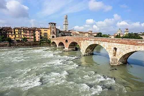 Ponte Pietra Landmark, Verona10 km SE
-
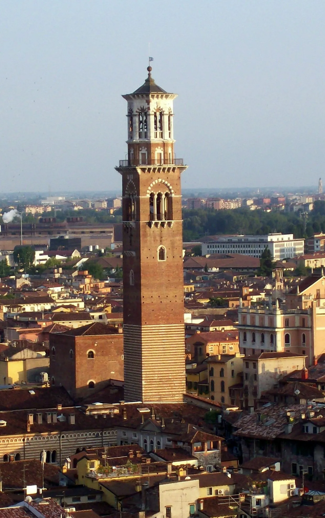 Torre dei Lamberti Landmark, Verona11 km SE
-
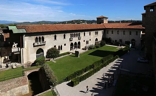 Castelvecchio Museum Museum, Verona11 km S
-
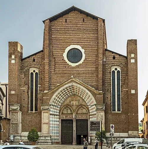 Sant'Anastasia Attraction, Verona10 km SE
-
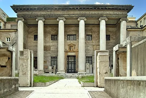 Museo Lapidario Maffeiano Museum, Verona11 km S
-
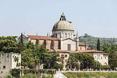 San Giorgio in Braida Attraction, Verona10 km SE
-
Monte Tesoro Mountain, Trentino-Alto Adige7.8 km N
Sources & licences
Data last updated: