- Elevation
- 44 m
- above sea level
- Local time
- UTC+09:00
- Asia/Tokyo · UTC+09:00
- Airports
- NKM Nagoya Airport / JASDF Komaki Air Base11 km
- NGO Chubu Centrair International Airport56 km
About Haguro
Haguro is a village. Location: Inuyama-shi, Aichi. Elevation: 44 m.
Haguro (羽黒町, Haguro-machi) was a town located in Higashitagawa District, Yamagata Prefecture, Japan. As of 2003, the town had an estimated population of 9,499 and a density of 86.66 persons per km2. The total area was 109.61 km2. On October 1, 2005, Haguro, along with the towns of Fujishima and Kushibiki, the village of Asahi (all from Higashitagawa District), and the town of Atsumi (from Nishitagawa District), was merged into the expanded city of Tsuruoka, and no longer exists as an independent municipality.
Source: Wikipedia · CC BY-SA 4.0
At a glance
- Built
- 1955
Source: Wikidata
Climate of Haguro
Best months for sightseeingBest months for sightseeing: May–June, October.
This month · November
Outside the best season
Day 16° · Night 7° · Rain 99 mm
Better nearby cities in November
- Kofu · 151 km east17°
- Fujinomiya · 152 km east18°
- Fuji · 159 km east20°
- Hottest month
- August (day 31°)
- Coldest month
- January (night -1°)
- Wettest month
- July (298 mm)
- Driest month
- December (64 mm)
Bars: average monthly low and high temperature. Below: precipitation. Monthly averages for 1970–2000 at about 18 km resolution, adjusted for elevation. Highlighted months are mild and relatively dry. Source: WorldClim 2.1 (CC BY 4.0).
Show values as a table
| Month | Jan | Feb | Mar | Apr | May | Jun | Jul | Aug | Sep | Oct | Nov | Dec |
|---|---|---|---|---|---|---|---|---|---|---|---|---|
| Average high (°C) | 8° | 9° | 13° | 19° | 23° | 26° | 30° | 31° | 27° | 22° | 16° | 11° |
| Average low (°C) | -1° | 0° | 3° | 9° | 13° | 18° | 22° | 23° | 19° | 13° | 7° | 2° |
| Precipitation (mm) | 73 | 89 | 141 | 202 | 199 | 287 | 298 | 215 | 272 | 148 | 99 | 64 |
How to get to Haguro
The nearest airport is Nagoya Airport / JASDF Komaki Air Base (NKM), 11 km to the south as the crow flies. For international flights: Chubu Centrair International Airport (NGO) (56 km). The nearest large city is Komaki, 8 km to the south.
Airports
- Nagoya Airport / JASDF Komaki Air Base (NKM) Nagoya 11 kmsouth
- Chubu Centrair International Airport (NGO) Tokoname 56 kmsouth
- Komatsu Airport / JASDF Komatsu Air Base (KMQ) Kanazawa 126 kmnorthwest
Nearby large cities
- Komaki Population: 148.9K 8 kmsouth
- Kakamigahara Population: 144.5K 11 kmnorthwest
- Kani Population: 102.1K 11 kmnortheast
- Kasugai Population: 308.7K 12 kmsouth
- Ichinomiya Population: 380.1K 15 kmwest
Straight-line distances; road distances are longer. Airport data: OurAirports.
Nearby attractions & nature
Everything nearby-
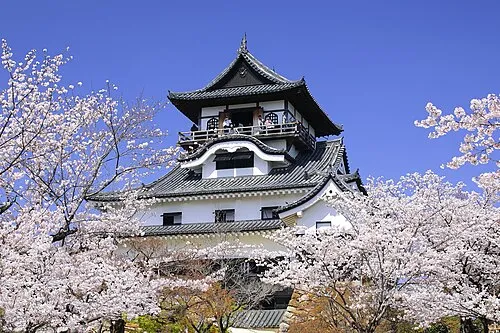 Inuyama castle Historic site, Inuyama-shi4.4 km N
-
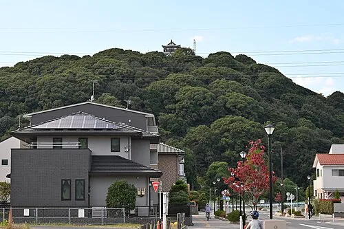 Mount Komaki Mountain, Komaki7.2 km SW
-
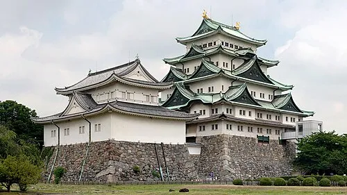 Nagoya castle Historic site, Naka19 km S
-
Hida River River, Gifu14 km NE
-
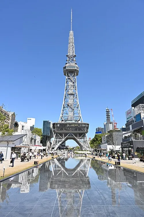 Nagoya TV Tower Landmark, Naka20 km S
-
Tsubo-gawa River, Gifu16 km NW
Sources & licences
Data last updated: · 2 independent sources