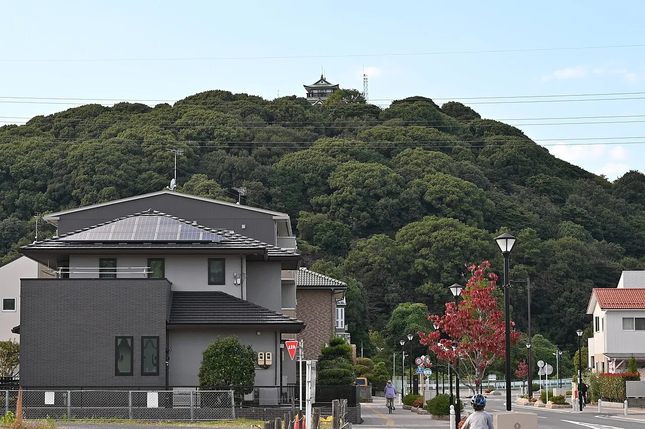
- Elevation
- 86 m
- above sea level
- Local time
- UTC+09:00
- Asia/Tokyo · UTC+09:00
- Airports
- NKM Nagoya Airport / JASDF Komaki Air Base4 km
- NGO Chubu Centrair International Airport49 km
About Mount Komaki
Mount Komaki is a mountain. Location: Komaki, Aichi. Elevation: 86 m.
Mount Komaki (小牧山, Komakiyama) is an 86 m-high (282 ft) mountain located in the city of Komaki, Aichi Prefecture, Japan. At one point, the mountain was topped with the original Komakiyama Castle, built by Oda Nobunaga. Its base stretches for nearly 600 m (1,969 ft) from east to west, and 400 m (1,312 ft) from north to south, covering an area of approximately 21 ha (52 acres).
Source: Wikipedia · CC BY-SA 4.0
At a glance
- Heritage designation
- Historic Site of Japan
- Official website
- komakiyama.com
Source: Wikidata
Climate of Mount Komaki
Best months for sightseeingBest months for sightseeing: May–June, October.
This month · November
Outside the best season
Day 16° · Night 7° · Rain 95 mm
Better nearby cities in November
- Fujinomiya · 155 km east18°
- Kofu · 155 km east17°
- Fuji · 161 km east20°
- Hottest month
- August (day 31°)
- Coldest month
- January (night -1°)
- Wettest month
- July (280 mm)
- Driest month
- December (55 mm)
Bars: average monthly low and high temperature. Below: precipitation. Monthly averages for 1970–2000 at about 18 km resolution, adjusted for elevation. Highlighted months are mild and relatively dry. Source: WorldClim 2.1 (CC BY 4.0).
Show values as a table
| Month | Jan | Feb | Mar | Apr | May | Jun | Jul | Aug | Sep | Oct | Nov | Dec |
|---|---|---|---|---|---|---|---|---|---|---|---|---|
| Average high (°C) | 8° | 9° | 13° | 19° | 23° | 26° | 30° | 31° | 27° | 22° | 16° | 11° |
| Average low (°C) | -1° | 0° | 3° | 9° | 13° | 18° | 22° | 23° | 19° | 13° | 7° | 2° |
| Precipitation (mm) | 62 | 83 | 134 | 193 | 194 | 279 | 280 | 197 | 257 | 145 | 95 | 55 |
How to get to Mount Komaki
The nearest airport is Nagoya Airport / JASDF Komaki Air Base (NKM), 4 km to the south as the crow flies. For international flights: Chubu Centrair International Airport (NGO) (49 km). The nearest large city is Komaki, 1 km to the south.
Airports
- Nagoya Airport / JASDF Komaki Air Base (NKM) Nagoya 4 kmsouth
- Chubu Centrair International Airport (NGO) Tokoname 49 kmsouth
- Mount Fuji Shizuoka Airport (FSZ) Makinohara / Shimada 129 kmsoutheast
Nearby large cities
- Komaki Population: 148.9K 1 kmsouth
- Kasugai Population: 308.7K 7 kmsoutheast
- Ichinomiya Population: 380.1K 10 kmwest
- Inazawa Population: 134.8K 13 kmwest
- Kakamigahara Population: 144.5K 14 kmnorth
Straight-line distances; road distances are longer. Airport data: OurAirports.
Nearest towns and villages
-
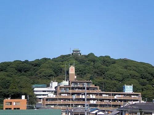 Komaki City, Komaki1.1 km S
-
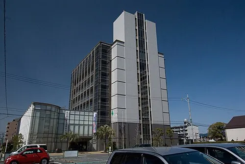 Iwakura City, Iwakura-shi4.3 km W
-
Ōguchi-chō Municipality, Niwa-gun4.4 km N
-
Toyoyama Municipality, Nishikasugai-gun4.7 km S
-
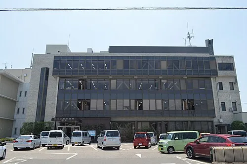 Kitanagoya City, Kitanagoya5.9 km SW
-
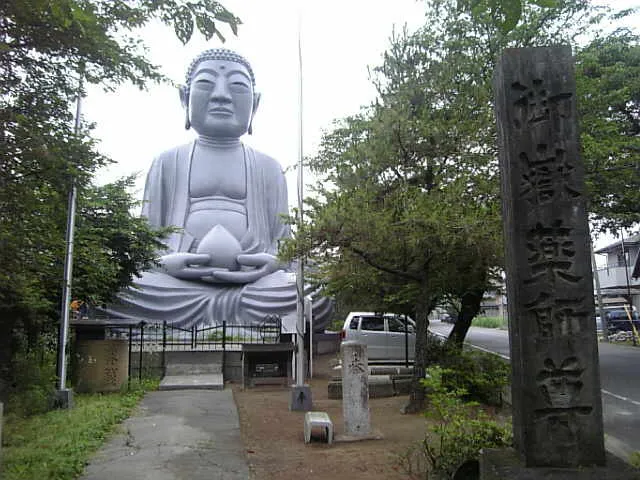 Kōnan City, Kōnan-shi5.8 km NW
Nearby attractions & nature
Everything nearby-
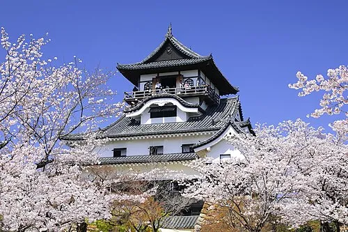 Inuyama castle Historic site, Inuyama-shi11 km N
-
Hida River River, Gifu21 km NE
-
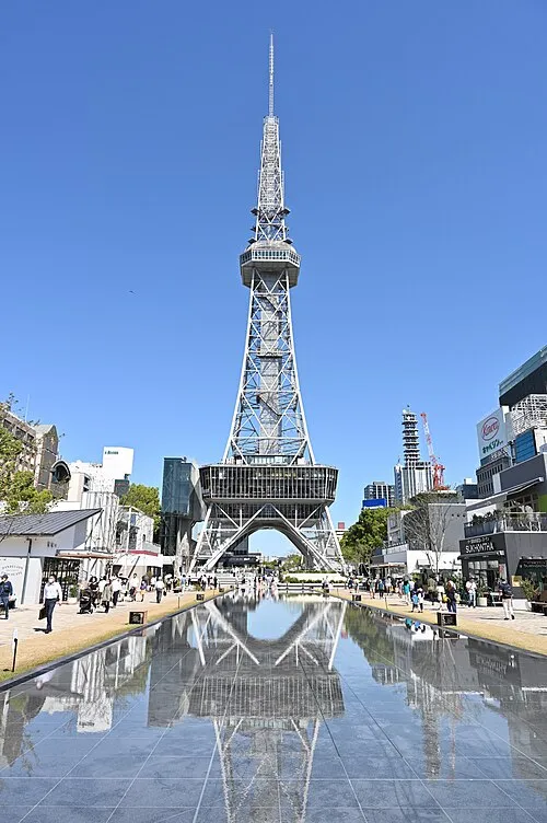 Nagoya TV Tower Landmark, Naka13 km S
-
Hori River River, Aichi22 km S
-
Nikkō River River, Aichi25 km S
-
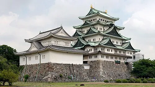 Nagoya castle Historic site, Naka12 km S
-
Tsubo-gawa River, Gifu20 km N
-
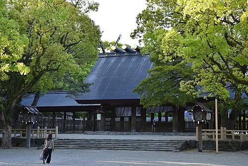 Atsuta Shrine Noh Stage Attraction, Atsuta19 km S
Sources & licences
Data last updated: · 2 independent sources