- Population
- 48,007
- 48K
- Elevation
- 11 m
- above sea level
- Local time
- UTC+09:00
- Asia/Tokyo · UTC+09:00
- Airports
- NKM Nagoya Airport / JASDF Komaki Air Base6 km
- NGO Chubu Centrair International Airport47 km
About Iwakura
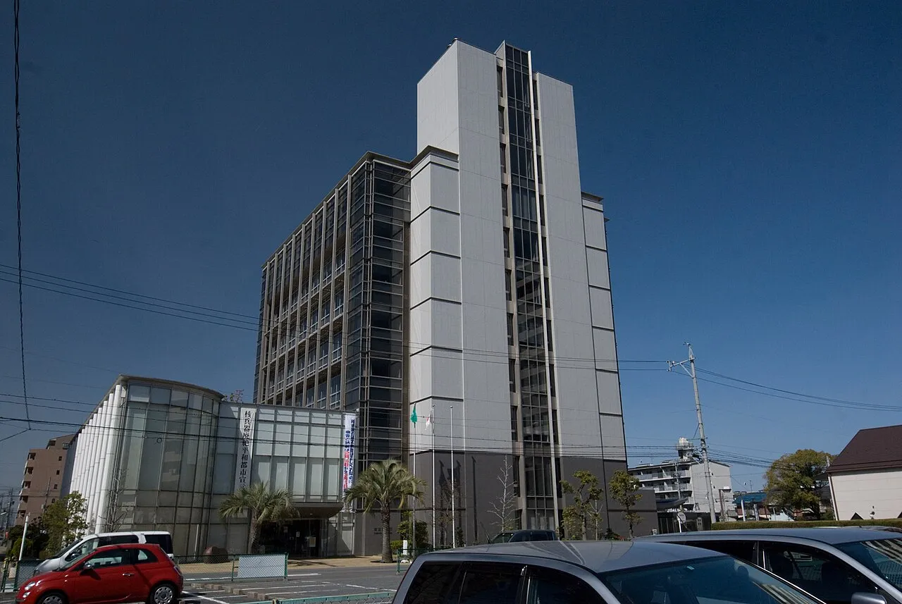
Iwakura is a city. Location: Iwakura-shi, Aichi. Population: 48,007. Elevation: 11 m.
Iwakura (岩倉市, Iwakura-shi; Japanese pronunciation: [ì.β̞ä́.kɯ̈́.ɾä́(.ɕì)]) is a city located in Aichi Prefecture, Japan. As of 1 October 2019, the city had an estimated population of 47,929 in 21,805 households, and a population density of 4,578 persons per km2. The total area of the city was 10.47 square kilometres (4.04 sq mi). It is the city with the smallest area in the prefecture (followed by Takahama and Chiryū), and is the 10th smallest city in Japan.
Source: Wikipedia · CC BY-SA 4.0
Places bordering Iwakura
- Ichinomiya
- Kōnan
- Komaki
- Kitanagoya
Population of Iwakura over time
| 2010 | 47,340 | |
|---|---|---|
| 2015 | 47,562 | |
| 2021 | 47,975 |
Censuses and official estimates; source: Wikidata.
Climate of Iwakura
Best months for sightseeingBest months for sightseeing: April–June, October.
This month · November
Outside the best season
Day 17° · Night 7° · Rain 95 mm
Better nearby cities in November
- Fujinomiya · 159 km east18°
- Kofu · 160 km east17°
- Fuji · 166 km east20°
- Hottest month
- August (day 32°)
- Coldest month
- January (night 0°)
- Wettest month
- July (280 mm)
- Driest month
- December (55 mm)
Bars: average monthly low and high temperature. Below: precipitation. Monthly averages for 1970–2000 at about 18 km resolution, adjusted for elevation. Highlighted months are mild and relatively dry. Source: WorldClim 2.1 (CC BY 4.0).
Show values as a table
| Month | Jan | Feb | Mar | Apr | May | Jun | Jul | Aug | Sep | Oct | Nov | Dec |
|---|---|---|---|---|---|---|---|---|---|---|---|---|
| Average high (°C) | 9° | 9° | 13° | 19° | 24° | 27° | 30° | 32° | 28° | 22° | 17° | 11° |
| Average low (°C) | 0° | 0° | 3° | 9° | 14° | 19° | 22° | 23° | 20° | 13° | 7° | 2° |
| Precipitation (mm) | 62 | 83 | 134 | 193 | 194 | 279 | 280 | 197 | 257 | 145 | 95 | 55 |
Other places to visit in this season: April May June October
How to get to Iwakura
The nearest airport is Nagoya Airport / JASDF Komaki Air Base (NKM), 6 km to the southeast as the crow flies. For international flights: Chubu Centrair International Airport (NGO) (47 km). The nearest large city is Komaki, 5 km to the east.
Airports
- Nagoya Airport / JASDF Komaki Air Base (NKM) Nagoya 6 kmsoutheast
- Chubu Centrair International Airport (NGO) Tokoname 47 kmsouth
- Komatsu Airport / JASDF Komatsu Air Base (KMQ) Kanazawa 130 kmnorth
Nearby large cities
- Komaki Population: 148.9K 5 kmeast
- Ichinomiya Population: 380.1K 6 kmwest
- Inazawa Population: 134.8K 8 kmsouthwest
- Kasugai Population: 308.7K 10 kmeast
- Kakamigahara Population: 144.5K 15 kmnorth
Straight-line distances; road distances are longer. Airport data: OurAirports.
Nearby attractions & nature
Everything nearby-
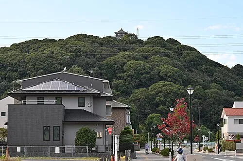 Mount Komaki Mountain, Komaki4.3 km E
-
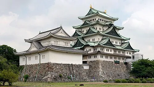 Nagoya castle Historic site, Naka11 km S
-
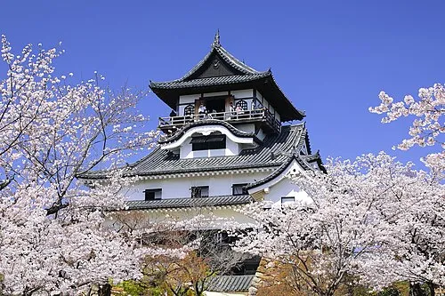 Inuyama castle Historic site, Inuyama-shi13 km NE
-
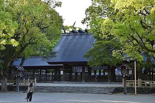 Atsuta Shrine Noh Stage Attraction, Atsuta18 km S
-
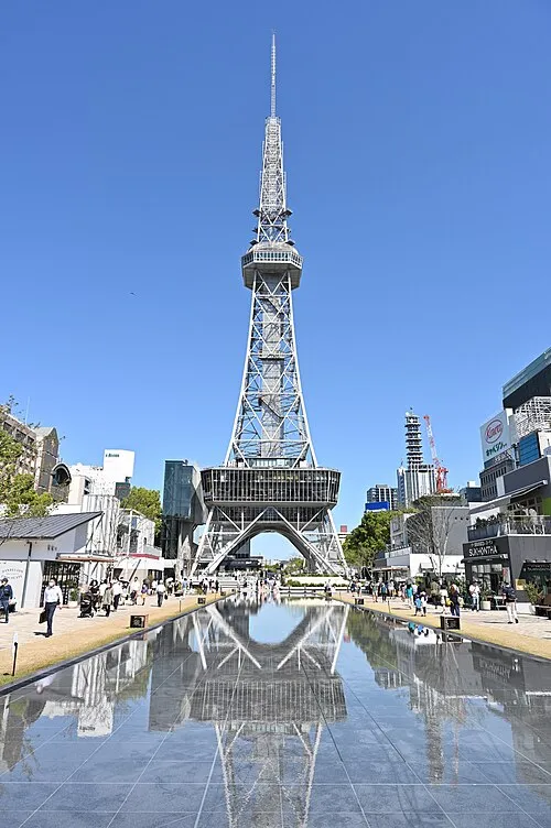 Nagoya TV Tower Landmark, Naka13 km S
-
Hida River River, Gifu25 km NE
-
Hori River River, Aichi21 km S
-
Nikkō River River, Aichi23 km S
Sources & licences
Data last updated: · 2 independent sources