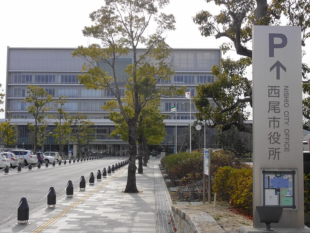
- Population
- 169,984
- 170K
- Elevation
- 9 m
- above sea level
- Local time
- UTC+09:00
- Asia/Tokyo · UTC+09:00
- Airports
- NGO Chubu Centrair International Airport22 km
- NKM Nagoya Airport / JASDF Komaki Air Base45 km
About Nishio
Nishio is a city. Location: Nishio Shi, Aichi. Population: 169,984. Elevation: 9 m.
Nishio (西尾市, Nishio-shi) is a city located in Aichi Prefecture, in the Chūbu region of Japan. As of 1 October 2019, the city had an estimated population of 169,984 in 65,553 households, with a population density of 1,054 persons per km2. The total area of the city was 160.22 square kilometres (61.86 sq mi). It is a regional commercial and manufacturing center and the country's leading producer of powdered green tea.
Source: Wikipedia · CC BY-SA 4.0
Places bordering Nishio
- Hekinan
- Anjo
- Okazaki
- Gamagōri
- Kōda-chō
Twin towns and sister cities of Nishio
- Nikaho-shi· Japan
- Yonezawa· Japan
Source: Wikidata. Only places with a page on this site are shown.
Population of Nishio over time
| 2010 | 165,298 | |
|---|---|---|
| 2015 | 167,990 | |
| 2021 | 168,992 |
Censuses and official estimates; source: Wikidata.
Climate of Nishio
Best months for sightseeingBest months for sightseeing: May–June, October.
This month · November
Outside the best season
Day 17° · Night 8° · Rain 99 mm
Better nearby cities in November
- Fujinomiya · 148 km east18°
- Fuji · 152 km east20°
- Kofu · 164 km northeast17°
- Hottest month
- August (day 31°)
- Coldest month
- January (night 1°)
- Wettest month
- June (259 mm)
- Driest month
- December (52 mm)
Bars: average monthly low and high temperature. Below: precipitation. Monthly averages for 1970–2000 at about 18 km resolution, adjusted for elevation. Highlighted months are mild and relatively dry. Source: WorldClim 2.1 (CC BY 4.0).
Show values as a table
| Month | Jan | Feb | Mar | Apr | May | Jun | Jul | Aug | Sep | Oct | Nov | Dec |
|---|---|---|---|---|---|---|---|---|---|---|---|---|
| Average high (°C) | 9° | 10° | 13° | 19° | 23° | 26° | 30° | 31° | 28° | 22° | 17° | 12° |
| Average low (°C) | 1° | 1° | 4° | 9° | 14° | 19° | 23° | 23° | 20° | 14° | 8° | 3° |
| Precipitation (mm) | 56 | 78 | 128 | 181 | 190 | 259 | 240 | 204 | 243 | 161 | 99 | 52 |
How to get to Nishio
The nearest airport is Chubu Centrair International Airport (NGO), 22 km to the west as the crow flies. The nearest large city is Anjo, 11 km to the north.
Airports
- Chubu Centrair International Airport (NGO) Tokoname 22 kmwest
- Nagoya Airport / JASDF Komaki Air Base (NKM) Nagoya 45 kmnorth
- Mount Fuji Shizuoka Airport (FSZ) Makinohara / Shimada 105 kmeast
Nearby large cities
- Anjo Population: 188.7K 11 kmnorth
- Handa Population: 117.9K 11 kmwest
- Okazaki Population: 384.7K 14 kmnortheast
- Kariya Population: 153.8K 14 kmnorthwest
- Tōkai Population: 113.8K 22 kmnorthwest
Straight-line distances; road distances are longer. Airport data: OurAirports.
Nearby attractions & nature
Everything nearby-
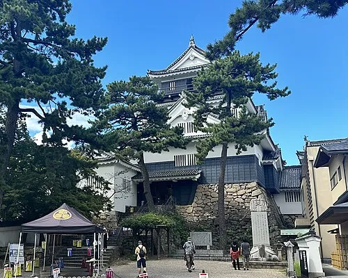 Okazaki castle Historic site, Okazaki-shi14 km NE
-
Yahagi River River, Japan8.4 km SW
-
 Mikawa-wan Natural site, Japan13 km S
-
Chita-hantō Natural site, Japan16 km W
-
Himakajima Island, Japan18 km S
-
Shino-jima Island, Japan22 km S
-
Mikawa-wan Natural site, Japan20 km S
Sources & licences
Data last updated: · 2 independent sources