- Local time
- UTC+09:00
- Asia/Tokyo · UTC+09:00
- Airports
- NGO Chubu Centrair International Airport28 km
- NKM Nagoya Airport / JASDF Komaki Air Base58 km
About Mikawa-wan
Mikawa-wan is a natural site. Location: Japan.
Mikawa Bay (三河湾 Mikawa-wan) is a bay to the south of Aichi Prefecture, Japan, surrounded by Chita Peninsula to the west and Atsumi Peninsula to the east and south. Its area is approximately 604 km2. Pollution of the shallow, enclosed waters of the bay has become a concern in recent years.
Read more on Wikipedia Text: Wikipedia contributors · CC BY-SA 4.0 · shortened
At a glance
- Area
- 604 km²
Source: Wikidata
Climate of Mikawa-wan
Best months for sightseeingBest months for sightseeing: May–June, September–October.
Bars: average monthly low and high temperature. Below: precipitation. Monthly averages for 1970–2000 at about 18 km resolution, adjusted for elevation. Highlighted months are mild and relatively dry. Source: WorldClim 2.1 (CC BY 4.0).
Show values as a table
| Month | Jan | Feb | Mar | Apr | May | Jun | Jul | Aug | Sep | Oct | Nov | Dec |
|---|---|---|---|---|---|---|---|---|---|---|---|---|
| Average high (°C) | 8° | 9° | 12° | 18° | 21° | 24° | 28° | 30° | 26° | 21° | 16° | 11° |
| Average low (°C) | 1° | 1° | 4° | 9° | 14° | 18° | 22° | 23° | 19° | 14° | 8° | 3° |
| Precipitation (mm) | 55 | 77 | 126 | 176 | 185 | 246 | 218 | 197 | 236 | 168 | 101 | 52 |
Other places to visit in this season: May June September October
Airports nearest to Mikawa-wan
- Chubu Centrair International Airport (NGO) Tokoname 28 km
- Nagoya Airport / JASDF Komaki Air Base (NKM) Nagoya 58 km
- Mount Fuji Shizuoka Airport (FSZ) Makinohara / Shimada 102 km
Straight-line distance; airports with scheduled flights only. Source: OurAirports (public domain).
Nearest towns and villages
-
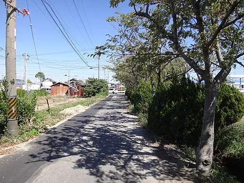 Ishiki Town, Nishio Shi8.2 km NW
-
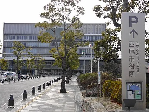 Nishio City, Nishio Shi13 km N
-
Minamichita Town, Minamichita Chō11 km SW
-
Kōda-chō Municipality, Nukata-gun13 km NE
-
Minamichita Chō Municipality, Chita-gun15 km W
-
Toyohama Town, Minamichita Chō14 km W
Nearby attractions & nature
Everything nearby-
Mikawa-wan Natural site, Japan7.2 km SE
-
Himakajima Island, Japan8.7 km SW
-
Shino-jima Island, Japan11 km SW
-
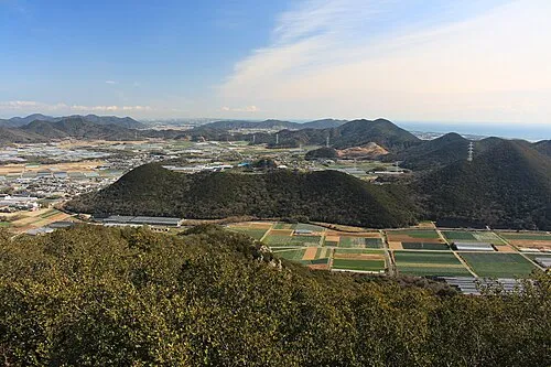 Atsumi Peninsula Natural site, Aichi18 km SE
-
 Chita-hantō Natural site, Japan21 km NW
-
Yahagi River River, Japan13 km NW
-
 Kami-jima Island, Mie24 km S
-
Toyo River River, Japan23 km E
More nature in Japan
-
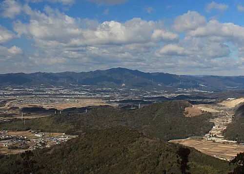 Hongū-zan Mountain, Toyokawa-shi35 km NE
-
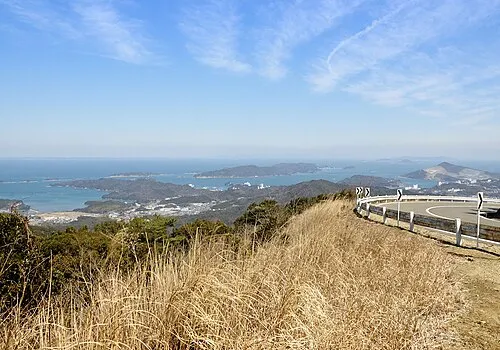 Ise Bay Natural site, Japan34 km W
-
 Mount Hiei Mountain, Sakyō Ku120 km W
-
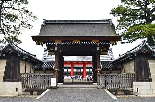 Kyoto Imperial Palace Natural site, Kamigyō Ku124 km W
-
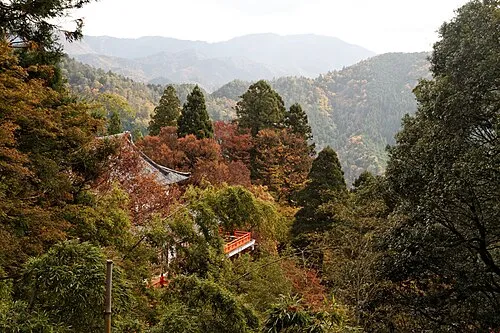 Mount Kurama Mountain, Sakyō Ku127 km W
-
 Mount Amanokagu Mountain, Kashihara City119 km W
Sources & licences
Data last updated: · 2 independent sources