- Local time
- UTC+09:00
- Asia/Tokyo · UTC+09:00
- Airports
- NGO Chubu Centrair International Airport18 km
- NKM Nagoya Airport / JASDF Komaki Air Base63 km
About Ise Bay
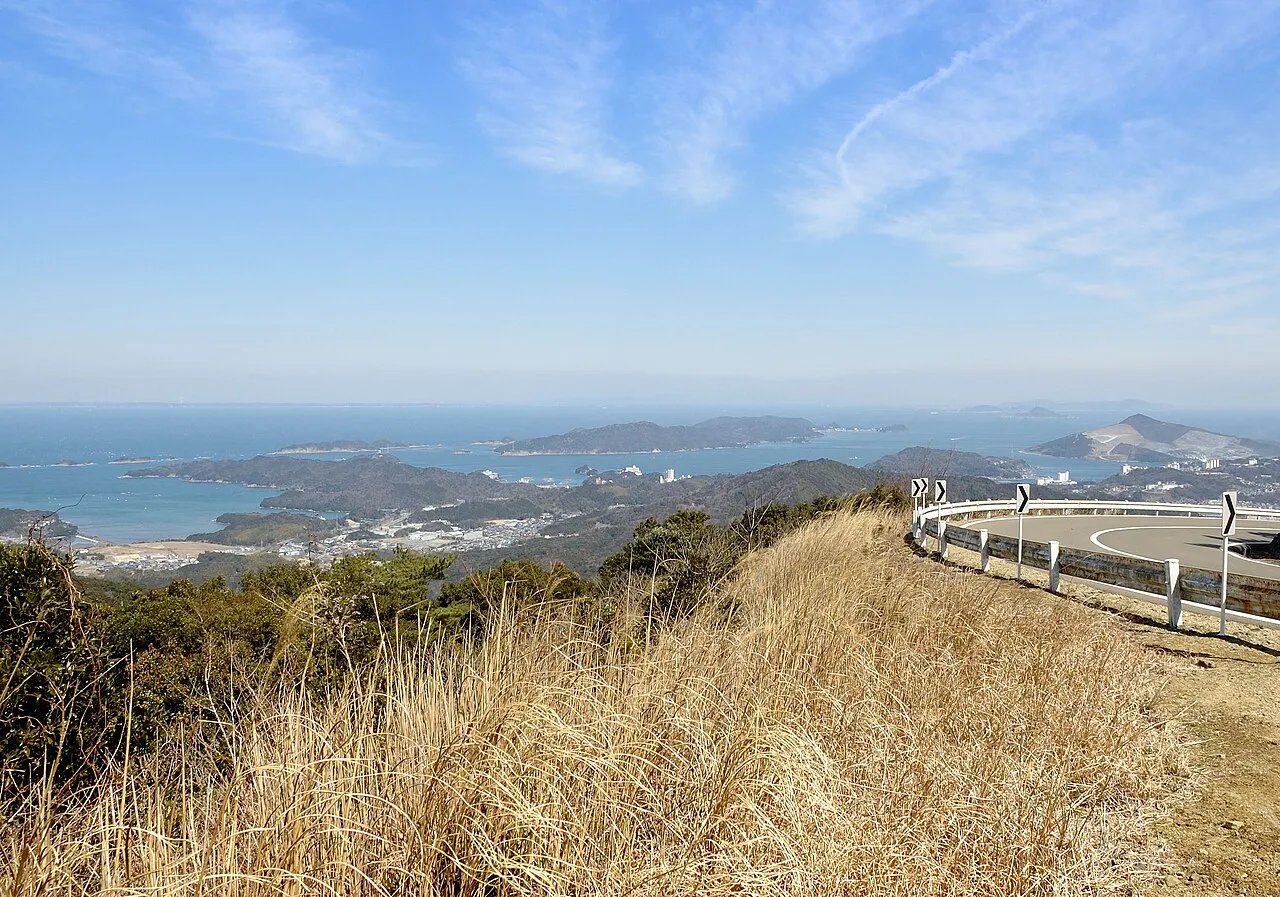
Ise Bay is a natural site. Location: Japan.
Ise Bay (伊勢湾, Ise-wan) is a bay located at the mouth of the Kiso Three Rivers between Mie and Aichi Prefectures in Japan. Ise Bay has an average depth of 19.5 meters (64 ft) and a maximum depth of 30 meters (98 ft). The mouth of the bay is 9 kilometers (5.6 mi) and is connected to the smaller Mikawa Bay by two channels: the Nakayama Channel and the Morosaki Channel. Mikawa Bay is subsequently joined to the Pacific Ocean by the Irako Channel, which ranges from 50–100 meters (160–330 ft) in depth.
Read more on Wikipedia Text: Wikipedia contributors · CC BY-SA 4.0 · shortened
At a glance
- Maximum depth
- 30 m
- Area
- 1,738 km²
Source: Wikidata
Climate of Ise Bay
Best months for sightseeingBest months for sightseeing: May–June, September–October.
Bars: average monthly low and high temperature. Below: precipitation. Monthly averages for 1970–2000 at about 18 km resolution, adjusted for elevation. Highlighted months are mild and relatively dry. Source: WorldClim 2.1 (CC BY 4.0).
Show values as a table
| Month | Jan | Feb | Mar | Apr | May | Jun | Jul | Aug | Sep | Oct | Nov | Dec |
|---|---|---|---|---|---|---|---|---|---|---|---|---|
| Average high (°C) | 9° | 9° | 13° | 18° | 22° | 25° | 29° | 31° | 27° | 22° | 17° | 11° |
| Average low (°C) | 0° | 1° | 3° | 9° | 14° | 18° | 22° | 23° | 20° | 13° | 8° | 3° |
| Precipitation (mm) | 51 | 75 | 125 | 176 | 181 | 258 | 241 | 178 | 244 | 152 | 95 | 48 |
Other places to visit in this season: May June September October
Airports nearest to Ise Bay
- Chubu Centrair International Airport (NGO) Tokoname 18 km
- Nagoya Airport / JASDF Komaki Air Base (NKM) Nagoya 63 km
- Osaka Itami International Airport (ITM) Osaka 117 km
Straight-line distance; airports with scheduled flights only. Source: OurAirports (public domain).
Nearest towns and villages
-
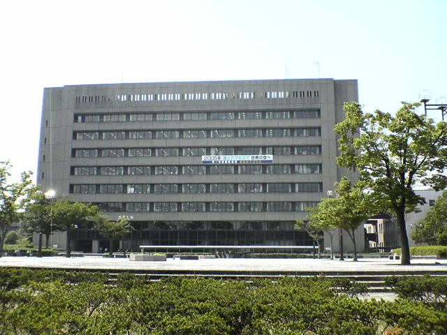 Tsu City, Tsu18 km W
-
Mihama Chō Municipality, Chita-gun17 km NE
-
Minamichita Chō Municipality, Chita-gun19 km E
-
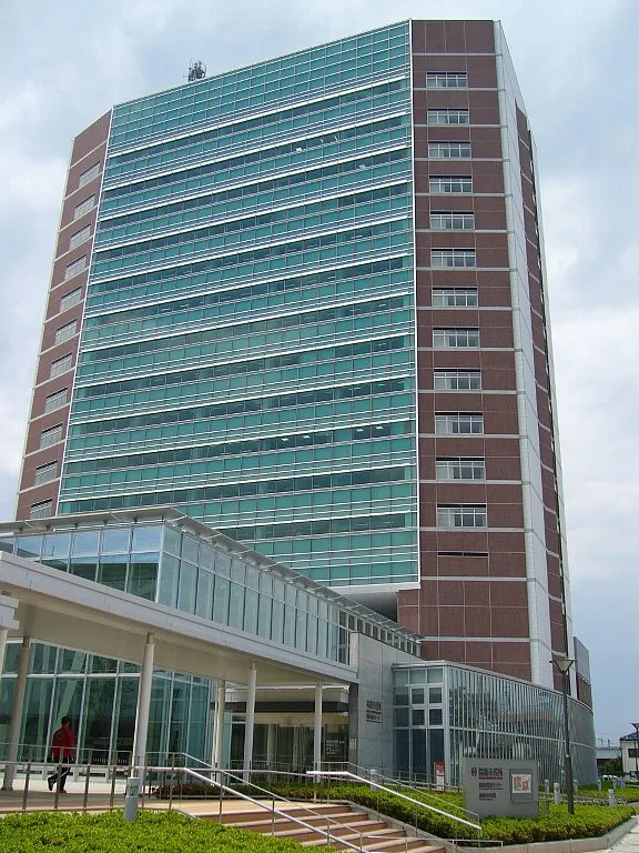 Suzuka City, Suzuka22 km NW
-
Meiwa Municipality, Taki-gun20 km SW
-
Kawage Town, Tsu18 km NW
Nearby attractions & nature
Everything nearby-
 Chita-hantō Natural site, Japan20 km NE
-
Kushida River River, Japan18 km SW
-
Miya River River, Japan20 km S
-
Isuzu River River, Japan22 km S
-
Kumozu River River, Japan18 km SW
-
Suzuka River River, Japan25 km N
More nature in Japan
-
Mikawa-wan Natural site, Japan34 km E
-
 Mount Gozaisho Mountain, Shiga Prefecture43 km NW
-
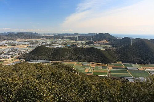 Atsumi Peninsula Natural site, Aichi49 km E
-
 Mount Hiei Mountain, Sakyō Ku90 km NW
-
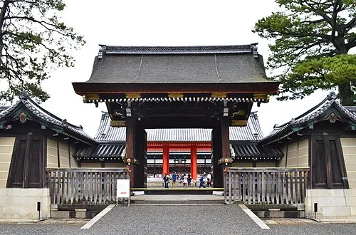 Kyoto Imperial Palace Natural site, Kamigyō Ku94 km W
-
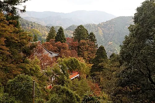 Mount Kurama Mountain, Sakyō Ku97 km NW
Sources & licences
Data last updated: · 2 independent sources