- Elevation
- 1 m
- above sea level
- Local time
- UTC+09:00
- Asia/Tokyo · UTC+09:00
- Airports
- NGO Chubu Centrair International Airport17 km
- NKM Nagoya Airport / JASDF Komaki Air Base44 km
About Suzuka River
Suzuka River is a river. Location: Japan.
The Suzuka River (鈴鹿川, Suzuka-gawa) is a major river that flows through northern Mie Prefecture on the island of Honshū, Japan. It is officially classified as a Class 1 river by the Japanese government, one of four Class 1 rivers that flow solely through Mie. The river's source is on Mount Nasugahara, which stands on the border of Mie and Shiga Prefectures. From the mountain, it then flows eastwards, eventually flowing into Ise Bay.
Read more on Wikipedia Text: Wikipedia contributors · CC BY-SA 4.0 · shortened
At a glance
- Length
- 38 km
Source: Wikidata
Climate of Suzuka River
Best months for sightseeingBest months for sightseeing: May–June, October.
Bars: average monthly low and high temperature. Below: precipitation. Monthly averages for 1970–2000 at about 18 km resolution, adjusted for elevation. Highlighted months are mild and relatively dry. Source: WorldClim 2.1 (CC BY 4.0).
Show values as a table
| Month | Jan | Feb | Mar | Apr | May | Jun | Jul | Aug | Sep | Oct | Nov | Dec |
|---|---|---|---|---|---|---|---|---|---|---|---|---|
| Average high (°C) | 9° | 10° | 13° | 19° | 23° | 26° | 30° | 31° | 27° | 22° | 17° | 12° |
| Average low (°C) | 1° | 1° | 3° | 9° | 14° | 18° | 22° | 23° | 20° | 13° | 8° | 3° |
| Precipitation (mm) | 50 | 72 | 121 | 170 | 174 | 259 | 254 | 168 | 240 | 141 | 89 | 46 |
Airports nearest to Suzuka River
- Chubu Centrair International Airport (NGO) Tokoname 17 km
- Nagoya Airport / JASDF Komaki Air Base (NKM) Nagoya 44 km
- Osaka Itami International Airport (ITM) Osaka 111 km
Straight-line distance; airports with scheduled flights only. Source: OurAirports (public domain).
Nearest towns and villages
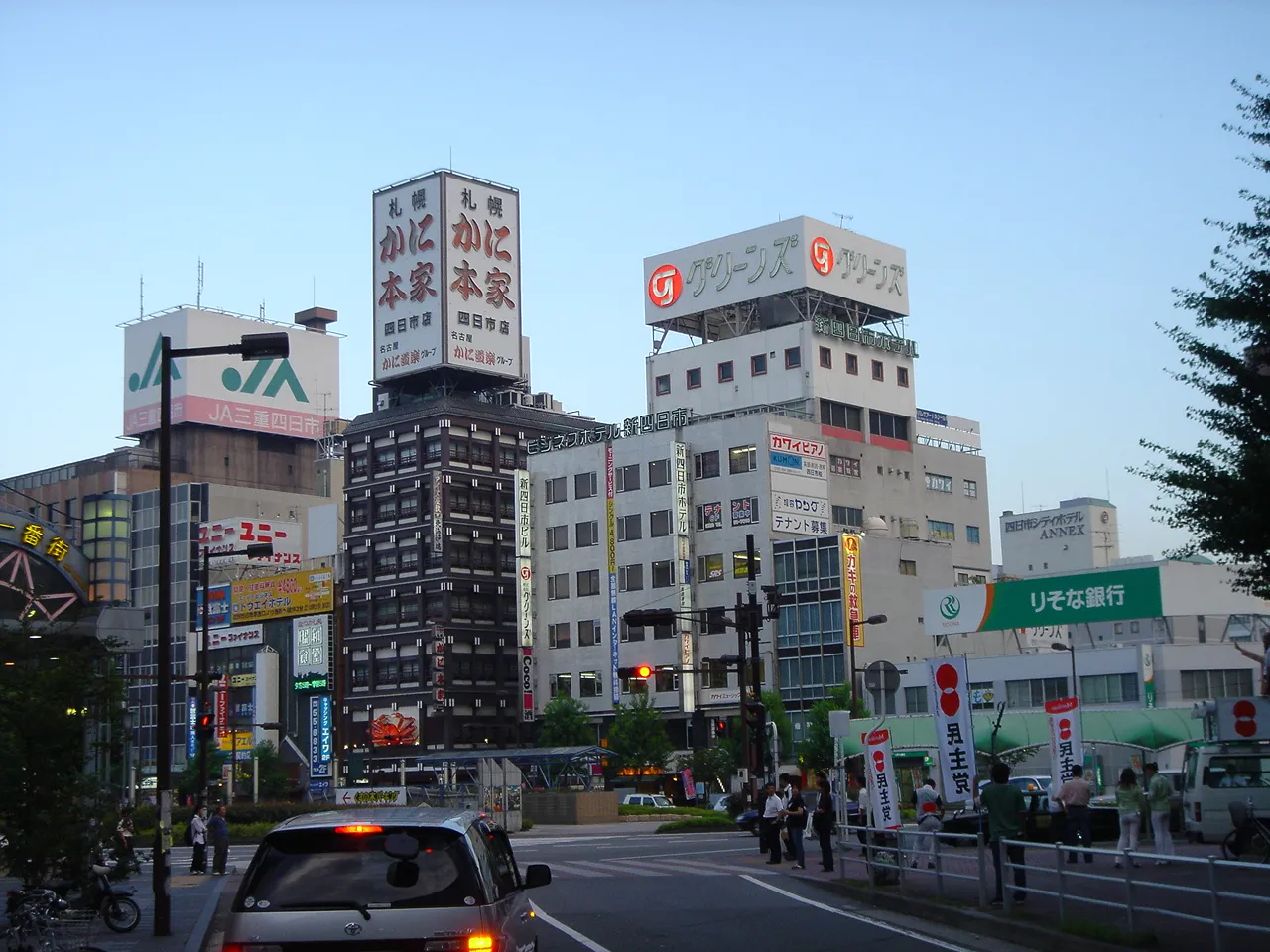
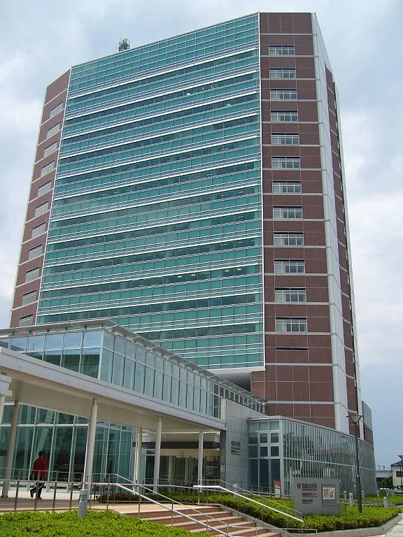

Nearby attractions & nature
Everything nearby-
Kiso River River, Mie15 km NE
-
Nagara River River, Japan16 km N
-
Shonai River River, Japan21 km NE
-
Ibi River River, Japan14 km NE
-
 Chita-hantō Natural site, Japan24 km SE
-
Nikkō River River, Aichi23 km NE
-
 Mount Gozaisho Mountain, Shiga Prefecture23 km NW
-
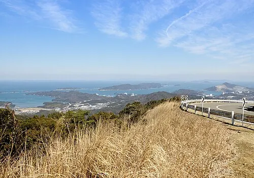 Ise Bay Natural site, Japan25 km S
More lakes, rivers and coasts in Japan
-
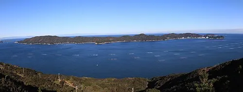 Tōshi-jima Island, Japan50 km SE
-
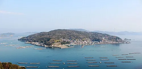 Sakate-jima Island, Japan53 km S
-
Hori River River, Aichi29 km NE
-
 Kami-jima Island, Mie53 km SE
-
Himakajima Island, Japan41 km SE
-
Kushida River River, Japan37 km S
Sources & licences
Data last updated: · 2 independent sources