- Local time
- UTC+09:00
- Asia/Tokyo · UTC+09:00
- Airports
- NGO Chubu Centrair International Airport20 km
- NKM Nagoya Airport / JASDF Komaki Air Base29 km
About Kiso River
Kiso River is a river. Location: Mie, Japan.
The Kiso River (木曽川, Kiso-gawa) is an A class river in the Chubu region of Japan roughly 229 km (142 mi) long, and 7th longest in Japan. It is flowing through the prefectures of Nagano, Gifu, Aichi, and Mie before emptying into Ise Bay a short distance away from the city of Nagoya. It is the main river among the Kiso Three Rivers (along with the Ibi and Nagara rivers) and forms a major part of the Nōbi Plain. The valley around the upper portion of the river forms the Kiso Valley.
Read more on Wikipedia Text: Wikipedia contributors · CC BY-SA 4.0 · shortened
At a glance
- Length
- 227 km
Source: Wikidata
Climate of Kiso River
Best months for sightseeingBest months for sightseeing: May–June, October.
Bars: average monthly low and high temperature. Below: precipitation. Monthly averages for 1970–2000 at about 18 km resolution, adjusted for elevation. Highlighted months are mild and relatively dry. Source: WorldClim 2.1 (CC BY 4.0).
Show values as a table
| Month | Jan | Feb | Mar | Apr | May | Jun | Jul | Aug | Sep | Oct | Nov | Dec |
|---|---|---|---|---|---|---|---|---|---|---|---|---|
| Average high (°C) | 9° | 9° | 13° | 19° | 23° | 26° | 29° | 31° | 27° | 22° | 17° | 11° |
| Average low (°C) | 1° | 1° | 3° | 9° | 14° | 18° | 22° | 23° | 20° | 13° | 8° | 3° |
| Precipitation (mm) | 57 | 79 | 127 | 180 | 182 | 263 | 256 | 169 | 240 | 140 | 92 | 51 |
Airports nearest to Kiso River
- Chubu Centrair International Airport (NGO) Tokoname 20 km
- Nagoya Airport / JASDF Komaki Air Base (NKM) Nagoya 29 km
- Osaka Itami International Airport (ITM) Osaka 123 km
Straight-line distance; airports with scheduled flights only. Source: OurAirports (public domain).
Nearest towns and villages
-
Kisosaki Chō Municipality, Kuwana-gun3.6 km N
-
Tobishima Mura Municipality, Ama6.5 km NE
-
Kuwana City, Kuwana7.6 km W
-
Asahi Municipality, Mie-gun8.1 km W
-
Yatomi City, Yatomi-shi8.1 km N
-
Toyoda Town, Mie-gun7.8 km W
Nearby attractions & nature
Everything nearby-
Ibi River River, Japan3.8 km NW
-
Nagara River River, Japan5.6 km NW
-
Shonai River River, Japan8.3 km E
-
Nikkō River River, Aichi8.6 km NE
-
Hori River River, Aichi14 km NE
-
Suzuka River River, Japan15 km SW
-
SCMaglev and Railway Park Museum, Minato-ku9.5 km E
-
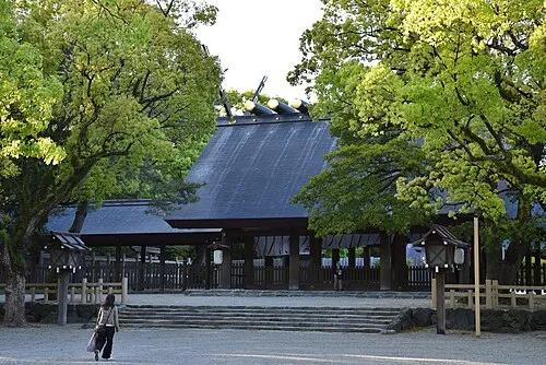 Atsuta Shrine Noh Stage Attraction, Atsuta18 km NE
More lakes, rivers and coasts in Japan
-
 Kami-jima Island, Mie58 km S
-
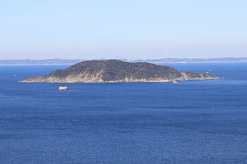 Ō-tsukumi-jima Island, Mie56 km S
-
Suga-shima Island, Mie62 km S
-
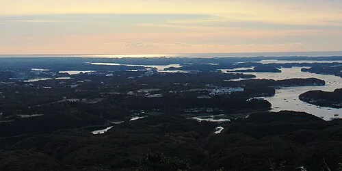 Kashiko Island Island, Mie81 km S
-
Choshi River River, Mie114 km SW
Sources & licences
Data last updated: · 2 independent sources