- Elevation
- 55 m
- above sea level
- Local time
- UTC+09:00
- Asia/Tokyo · UTC+09:00
- Airports
- NGO Chubu Centrair International Airport36 km
- NKM Nagoya Airport / JASDF Komaki Air Base79 km
About Ō-tsukumi-jima
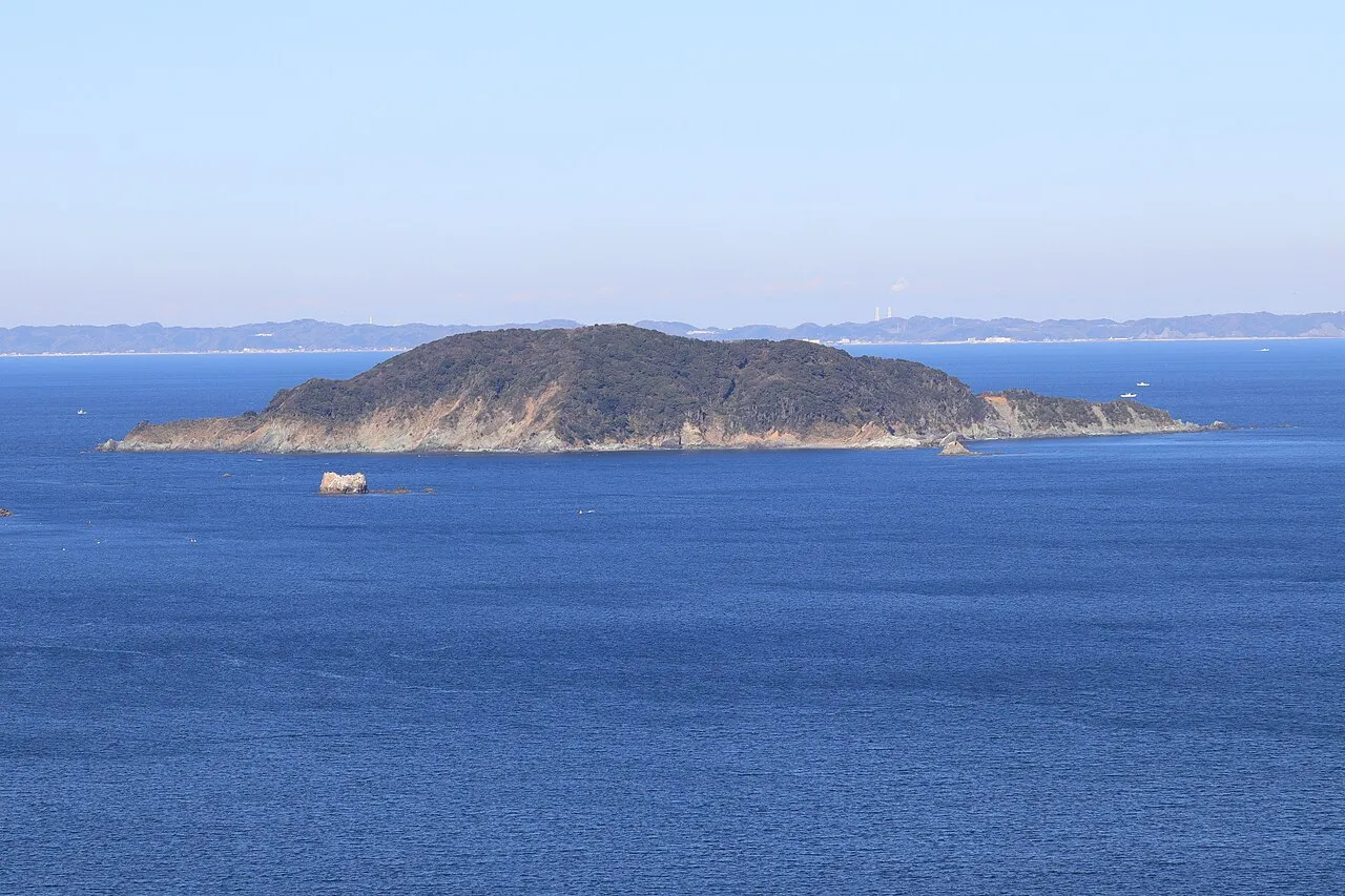
Ō-tsukumi-jima is an island. Location: Mie, Japan.
Ōzukumi-jima (大築海島) is an island located in Ise Bay off the east coast of central Honshu, Japan. It is administered as part of the city of Toba in Mie Prefecture. Ōzukumi-jima is mentioned in the Heian period Wamyō Ruijushō . Archaeologists have found shell middens and the remains mid-Yayoi period pit houses and ceramics on the islands, indicating that it was inhabited in antiquity. However, the island is not known to have been inhabited in historic times.
Source: Wikipedia · CC BY-SA 4.0
At a glance
- Area
- 64 ha
Source: Wikidata
Photos of Ō-tsukumi-jima
-

Alpsdake · CC BY-SA 4.0 -

Alpsdake · CC BY-SA 4.0 -

Wikimedia Commons · CC BY-SA 2.5 -

Alpsdake · CC BY-SA 4.0 -

Alpsdake · CC BY-SA 4.0


Climate of Ō-tsukumi-jima
Best months for sightseeingBest months for sightseeing: May–June, September–October.
This month · November
A wet month
Day 17° · Night 10° · Rain 125 mm
Better nearby cities in November
- Fujinomiya · 173 km northeast18°
- Fuji · 176 km northeast20°
- Numazu · 189 km east18°
- Hottest month
- August (day 29°)
- Coldest month
- February (night 2°)
- Wettest month
- September (294 mm)
- Driest month
- January (61 mm)
Bars: average monthly low and high temperature. Below: precipitation. Monthly averages for 1970–2000 at about 18 km resolution, adjusted for elevation. Highlighted months are mild and relatively dry. Source: WorldClim 2.1 (CC BY 4.0).
Show values as a table
| Month | Jan | Feb | Mar | Apr | May | Jun | Jul | Aug | Sep | Oct | Nov | Dec |
|---|---|---|---|---|---|---|---|---|---|---|---|---|
| Average high (°C) | 10° | 9° | 12° | 17° | 21° | 24° | 28° | 29° | 26° | 21° | 17° | 12° |
| Average low (°C) | 3° | 2° | 5° | 10° | 14° | 18° | 22° | 23° | 20° | 15° | 10° | 5° |
| Precipitation (mm) | 61 | 86 | 137 | 182 | 174 | 259 | 204 | 220 | 294 | 223 | 125 | 66 |
Other places to visit in this season: May June September October
How to get to Ō-tsukumi-jima
The nearest airport is Chubu Centrair International Airport (NGO), 36 km to the north as the crow flies. The nearest large city is Ise, 20 km to the west.
Airports
- Chubu Centrair International Airport (NGO) Tokoname 36 kmnorth
- Nagoya Airport / JASDF Komaki Air Base (NKM) Nagoya 79 kmnorth
- Mount Fuji Shizuoka Airport (FSZ) Makinohara / Shimada 121 kmeast
Nearby large cities
- Ise Population: 123.5K 20 kmwest
- Matsusaka Population: 159.1K 35 kmwest
- Handa Population: 117.9K 38 kmnorth
- Nishio Population: 170K 38 kmnorth
- Tsu Population: 274.5K 42 kmnorthwest
Straight-line distances; road distances are longer. Airport data: OurAirports.
Day trips from Ō-tsukumi-jima
Within 100 km: 8 historic and cultural sites, 19 natural sites, 23 lakes, rivers and coasts.
0–25 km8 places
- Tōshi-jima Island 3 kmSW
- Himakajima Island 20 kmNE
- Sakate-jima Island 8 kmSW
- Kami-jima Island 7 kmE
25–60 km17 places
- Kashiko Island Island 27 kmS
- Kumozu River River 35 kmW
- Kiso River River 56 kmN
- Ibi River River 59 kmN
60–100 km25 places
- Mount Miwa Mountain 96 kmW
- Mount Ōdaigahara Mountain 87 kmSW
- Mount Kunimi Mountain 76 kmW
- Mount Azami Mountain 80 kmW
Straight-line distances.
Nearest towns and villages
-
Sugashima Village, Mie4.8 km S
-
 Toba City, Toba-shi9.1 km SW
-
 Ise City, Ise Shi20 km W
-
Toyohama Town, Minamichita Chō19 km N
-
Minamichita Chō Municipality, Chita-gun21 km N
-
Minamichita Town, Minamichita Chō17 km NE
Nearby attractions & nature
Everything nearby-
 Tōshi-jima Island, Japan3.4 km SW
-
 Kami-jima Island, Mie6.5 km E
-
Suga-shima Island, Mie5.8 km S
-
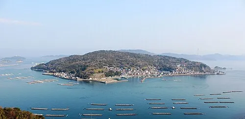 Sakate-jima Island, Japan7.8 km SW
-
Isuzu River River, Japan15 km W
-
Miya River River, Japan17 km W
-
Shino-jima Island, Japan17 km NE
-
Himakajima Island, Japan20 km NE
More lakes, rivers and coasts in Japan
-
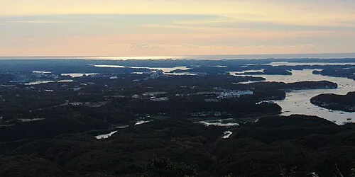 Kashiko Island Island, Mie27 km S
-
Kiso River River, Mie56 km N
-
Choshi River River, Mie79 km SW
Sources & licences
Data last updated: · 2 independent sources