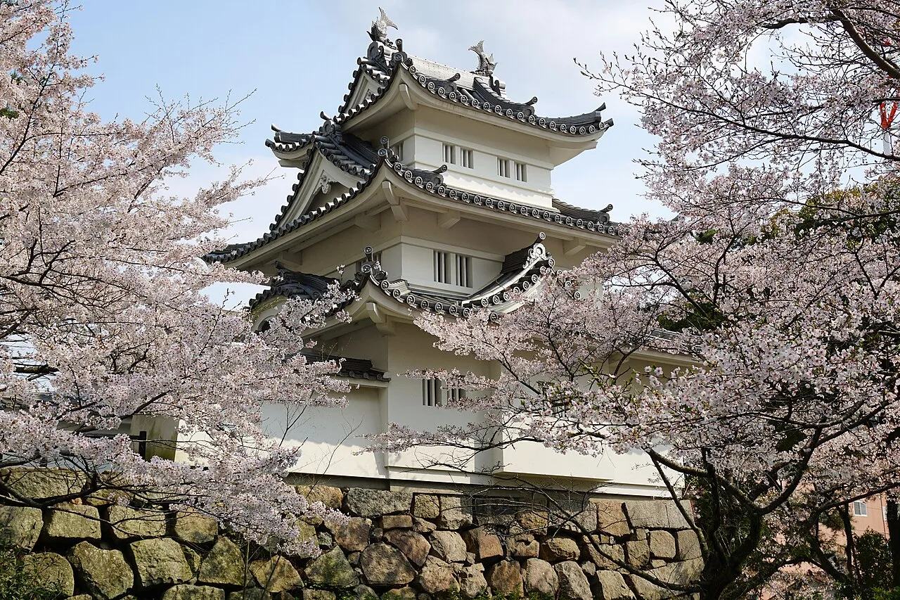
- Population
- 1,781,948
- 1.8M
- Elevation
- 515 m
- above sea level
- Local time
- UTC+09:00
- Asia/Tokyo · UTC+09:00
- Places inside
- 28
- listed under Mie
- Airports
- NGO Chubu Centrair International Airport54 km
- ITM Osaka Itami International Airport91 km
About Mie
Mie is a region. Location: Japan. Population: 1,781,948.
Mie Prefecture (三重県, Mie-ken; Japanese pronunciation: [mʲí.è̞, mʲì.é̞.kè̞ɴ̀]) is a prefecture of Japan located in the Kansai region of Honshu. Mie Prefecture has a population of 1,781,948 (as of 1 June 2019) and has a geographic area of 5,774 square kilometers (2,229 sq mi). Mie Prefecture is bordered by Gifu Prefecture to the north, Shiga Prefecture and Kyoto Prefecture to the northwest, Nara Prefecture to the west, Wakayama Prefecture to the southwest, and Aichi Prefecture to the east.
Read more on Wikipedia Text: Wikipedia contributors · CC BY-SA 4.0 · shortened
Places bordering Mie
Climate of Mie
Best months for sightseeingBest months for sightseeing: May–July, September.
Bars: average monthly low and high temperature. Below: precipitation. Monthly averages for 1970–2000 at about 18 km resolution, adjusted for elevation. Highlighted months are mild and relatively dry. Source: WorldClim 2.1 (CC BY 4.0).
Show values as a table
| Month | Jan | Feb | Mar | Apr | May | Jun | Jul | Aug | Sep | Oct | Nov | Dec |
|---|---|---|---|---|---|---|---|---|---|---|---|---|
| Average high (°C) | 6° | 6° | 10° | 15° | 19° | 23° | 26° | 28° | 24° | 19° | 14° | 9° |
| Average low (°C) | -2° | -2° | 0° | 6° | 11° | 15° | 19° | 20° | 17° | 10° | 5° | 0° |
| Precipitation (mm) | 51 | 73 | 122 | 170 | 173 | 265 | 235 | 200 | 264 | 170 | 97 | 49 |
Other places to visit in this season: May June July September
Airports nearest to Mie
- Chubu Centrair International Airport (NGO) Tokoname 54 km
- Osaka Itami International Airport (ITM) Osaka 91 km
- Nagoya Airport / JASDF Komaki Air Base (NKM) Nagoya 95 km
Straight-line distance; airports with scheduled flights only. Source: OurAirports (public domain).
Places in Mie
28 places- 1 Yokkaichi 313.2K
- 2 Tsu 285.7K
- 3 Suzuka 198K
- 4 Kuwana 140K
- 5 Ise Shi 131.7K
- 6 Matsusaka 124.6K
- 7 Iga 98.2K
- 8 Nabari-shi 81.6K
- 9 Shima 54.9K
- 10 Kameyama Shi 50.1K
- 11 Inabe Shi 46.3K
- 12 Owase Shi 20K
- 13 Kumano Shi 18.6K
- 14 Toba-shi 17.7K
- 15 Kami-jima 440
- 16 Kashiko Island 217
Bar: population relative to the most populous place in this list.
-
Choshi River River
-
Inabe-gun District
-
Kiso River River
-
Kitamuro District
-
Kuwana-gun District
-
Mie-gun District
-
Minamimuro-gun District
-
Ō-tsukumi-jima Island
-
Suga-shima Island
-
Sugashima Village
-
Taki-gun District
-
Watarai District
Largest cities and towns
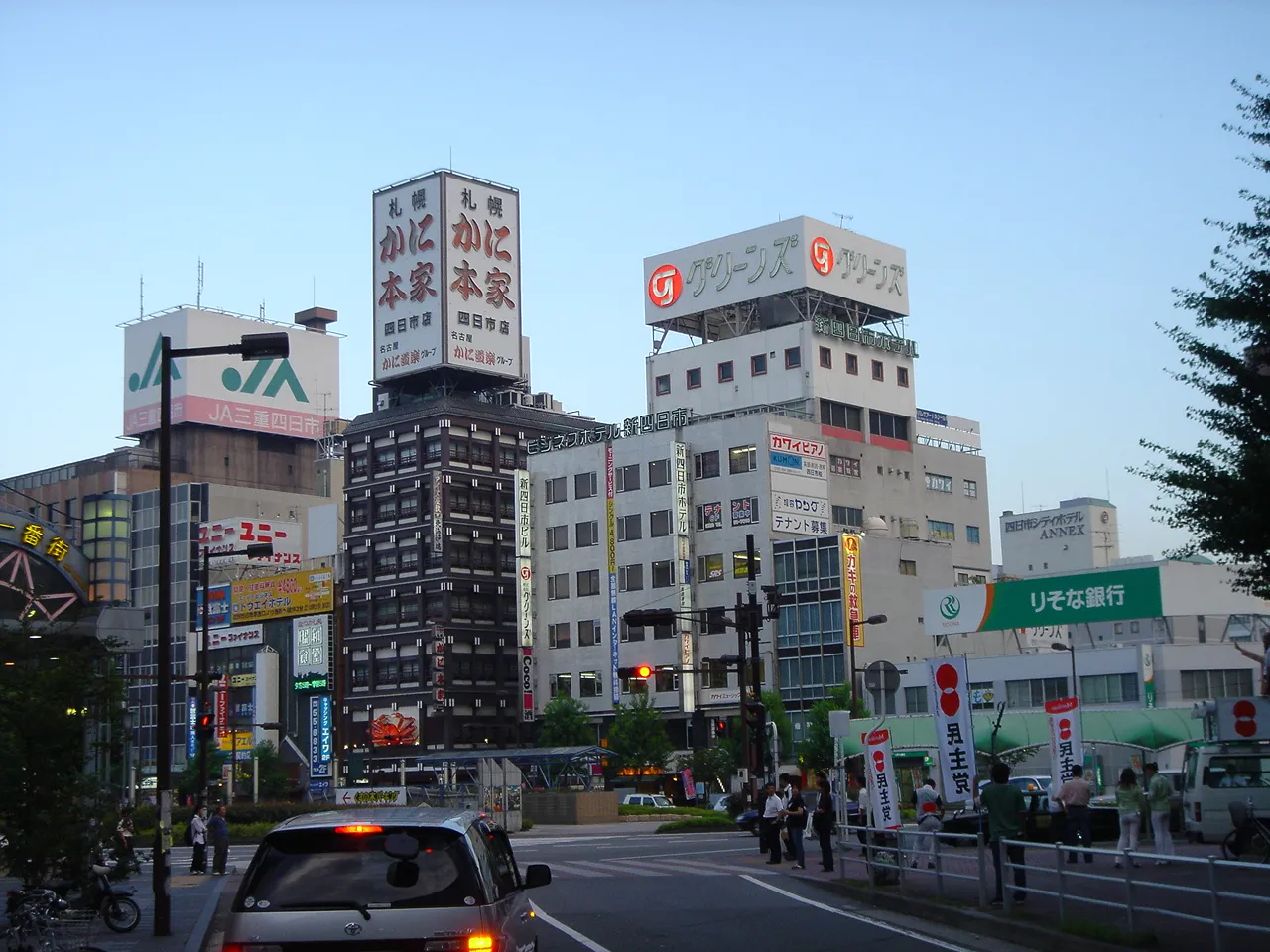

Other regions in Japan
Sources & licences
Data last updated: · 2 independent sources