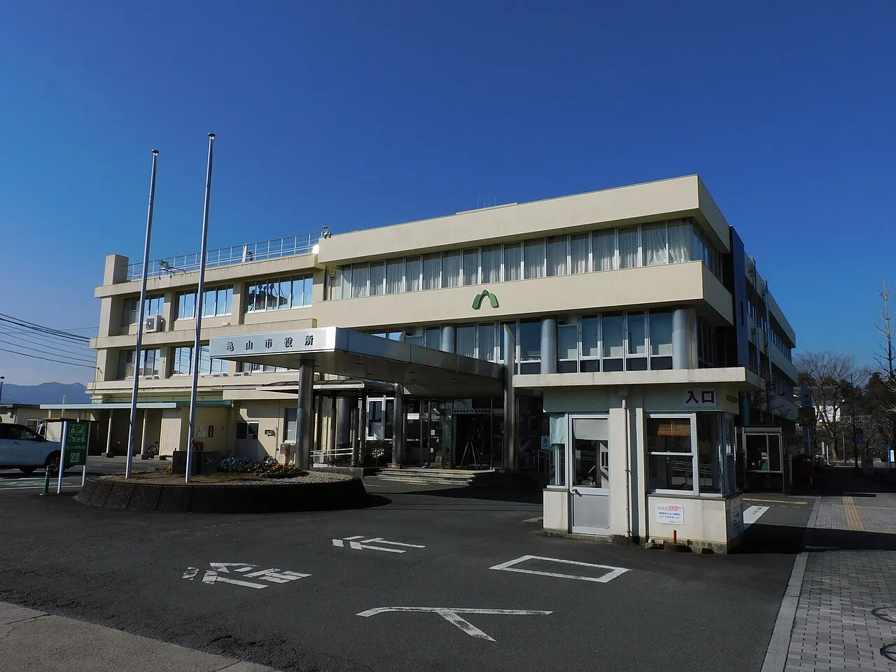
- Population
- 49,835
- 49.8K
- Elevation
- 54 m
- above sea level
- Local time
- UTC+09:00
- Asia/Tokyo · UTC+09:00
- Airports
- NGO Chubu Centrair International Airport32 km
- NKM Nagoya Airport / JASDF Komaki Air Base62 km
About Kameyama
Kameyama is a city. Location: Kameyama Shi, Mie. Population: 49,835. Elevation: 54 m.
Kameyama (亀山市, Kameyama-shi) is a city located in northern Mie Prefecture, Japan. As of 1 August 2021, the city had an estimated population of 49,457 in 21,745 households and a population density of 260 persons per km². The total area of the city is 190.91 km2 (73.71 square miles).
Source: Wikipedia · CC BY-SA 4.0
Travel notes for Kameyama
From Wikivoyage
Kameyama (亀山市 Kameyama-shi) is a city in Mie Prefecture, Japan.
Understand+
Tourist information site:
The local tourist association has a partly multilingual guide site.
Get in+
Kameyama is on the JR Kansai Line, roughly half way between Kamo Station in Kyoto Prefecture and Nagoya. The Kamo-Kameyama section of the Kansai Line consists of one track and is not electrified, and is thus served by one- or two-car diesel trains, running once per hour, and taking 90 minutes to cover about 60 km of track. The Kameyama-Nagoya section is electrified, and thus served by regular electric trains that you see everywhere else in Japan.
Source: Wikivoyage · CC BY-SA 4.0 · abridged
Places bordering Kameyama
- Tsu
- Suzuka
- Iga
- Koka-Shi
Twin towns and sister cities of Kameyama
- Gose· Japan
Source: Wikidata. Only places with a page on this site are shown.
Population of Kameyama over time
| 2010 | 51,023 | |
|---|---|---|
| 2015 | 50,254 | |
| 2020 | 49,971 |
Censuses and official estimates; source: Wikidata.
Climate of Kameyama
Best months for sightseeingBest months for sightseeing: May–June, September–October.
This month · November
Outside the best season
Day 16° · Night 7° · Rain 87 mm
Better nearby cities in November
- Fujinomiya · 201 km east18°
- Fuji · 206 km east20°
- Kofu · 213 km northeast17°
- Hottest month
- August (day 31°)
- Coldest month
- January (night 0°)
- Wettest month
- June (261 mm)
- Driest month
- December (52 mm)
Bars: average monthly low and high temperature. Below: precipitation. Monthly averages for 1970–2000 at about 18 km resolution, adjusted for elevation. Highlighted months are mild and relatively dry. Source: WorldClim 2.1 (CC BY 4.0).
Show values as a table
| Month | Jan | Feb | Mar | Apr | May | Jun | Jul | Aug | Sep | Oct | Nov | Dec |
|---|---|---|---|---|---|---|---|---|---|---|---|---|
| Average high (°C) | 8° | 9° | 12° | 18° | 22° | 25° | 29° | 31° | 27° | 21° | 16° | 11° |
| Average low (°C) | 0° | 0° | 3° | 8° | 13° | 18° | 22° | 23° | 19° | 13° | 7° | 2° |
| Precipitation (mm) | 59 | 75 | 121 | 168 | 173 | 261 | 253 | 183 | 244 | 144 | 87 | 52 |
Other places to visit in this season: May June September October
How to get to Kameyama
The nearest airport is Chubu Centrair International Airport (NGO), 32 km to the east as the crow flies. The nearest large city is Suzuka, 13 km to the east.
Airports
- Chubu Centrair International Airport (NGO) Tokoname 32 kmeast
- Nagoya Airport / JASDF Komaki Air Base (NKM) Nagoya 62 kmnortheast
- Osaka Itami International Airport (ITM) Osaka 93 kmwest
Nearby large cities
- Suzuka Population: 195.7K 13 kmeast
- Tsu Population: 274.5K 14 kmsoutheast
- Yokkaichi Population: 305.4K 20 kmnortheast
- Kuwana Population: 140.1K 30 kmnortheast
- Matsusaka Population: 159.1K 31 kmsouth
Straight-line distances; road distances are longer. Airport data: OurAirports.
Day trips from Kameyama
Within 100 km: 32 historic and cultural sites, 39 natural sites, 37 lakes, rivers and coasts.
0–25 km2 places
- Mount Gozaisho Mountain 19 kmN
- Suzuka River River 20 kmNE
25–60 km34 places
- Tōshi-jima Island 54 kmSE
- Himakajima Island 53 kmE
- Sakate-jima Island 55 kmSE
- Kami-jima Island 59 kmSE
60–100 km72 places
- Kashiko Island Island 69 kmSE
- Mount Miwa Mountain 64 kmSW
- Mount Amanokagu Mountain 70 kmSW
- Mount Miminashi Mountain 70 kmSW
Straight-line distances.
Nearby attractions & nature
Everything nearby-
 Mount Gozaisho Mountain, Shiga Prefecture19 km N
-
Suzuka River River, Japan20 km NE
Sources & licences
Data last updated: · 2 independent sources