- Elevation
- 0 m
- above sea level
- Local time
- UTC+09:00
- Asia/Tokyo · UTC+09:00
- Airports
- SHM Nanki Shirahama Airport94 km
- KIX Kansai International Airport98 km
About Choshi River
Choshi River is a river. Location: Mie, Japan.
The Choshi River (銚子川 Choshi-gawa) is a minor river that flows through Mie Prefecture on the island of Honshū, Japan. It is officially classified as a Class 2 river by the Japanese government. It is one of clearest rivers of Japan with visibility to three meters depth. River water quality is so good that it was ranked first in 2007 and 2011 in Mie Prefecture. It is also called miracle of nature.
Read more on Wikipedia Text: Wikipedia contributors · CC BY-SA 4.0 · shortened
Climate of Choshi River
Best months for sightseeingBest months for sightseeing: May–June, October–November.
Bars: average monthly low and high temperature. Below: precipitation. Monthly averages for 1970–2000 at about 18 km resolution, adjusted for elevation. Highlighted months are mild and relatively dry. Source: WorldClim 2.1 (CC BY 4.0).
Show values as a table
| Month | Jan | Feb | Mar | Apr | May | Jun | Jul | Aug | Sep | Oct | Nov | Dec |
|---|---|---|---|---|---|---|---|---|---|---|---|---|
| Average high (°C) | 11° | 11° | 14° | 19° | 23° | 25° | 29° | 30° | 27° | 23° | 18° | 14° |
| Average low (°C) | 3° | 3° | 5° | 10° | 15° | 19° | 23° | 23° | 20° | 15° | 10° | 5° |
| Precipitation (mm) | 57 | 78 | 133 | 186 | 192 | 289 | 226 | 215 | 285 | 197 | 118 | 53 |
Other places to visit in this season: May June October November
Airports nearest to Choshi River
- Nanki Shirahama Airport (SHM) Shirahama 94 km
- Kansai International Airport (KIX) Osaka 98 km
- Chubu Centrair International Airport (NGO) Tokoname 99 km
Straight-line distance; airports with scheduled flights only. Source: OurAirports (public domain).
Nearest towns and villages
-
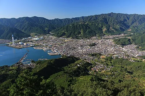 Owase City, Owase Shi5.1 km SW
-
Kihoku Chō Municipality, Kitamuro8.1 km N
-
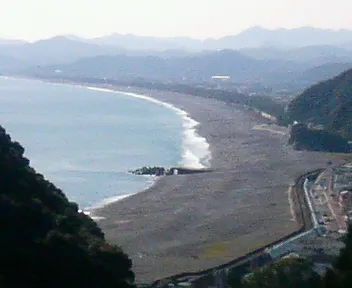 Kumano City, Kumano Shi24 km SW
-
Kamikitayama Mura Municipality, Yoshino-gun20 km W
-
Ōdai-chō Municipality, Taki-gun24 km N
-
Taiki Chō Municipality, Watarai29 km NE
Nearby attractions & nature
Everything nearby-
Mount Kunimi Mountain, Ōdai-chō21 km N
-
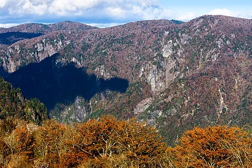 Mount Ōdaigahara Mountain, Kamikitayama Mura17 km NW
More lakes, rivers and coasts in Japan
-
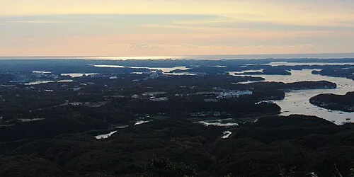 Kashiko Island Island, Mie58 km NE
-
 Kami-jima Island, Mie85 km NE
-
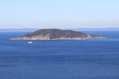 Ō-tsukumi-jima Island, Mie79 km NE
-
Kiso River River, Mie114 km NE
-
Suga-shima Island, Mie75 km NE
Sources & licences
Data last updated: · 2 independent sources