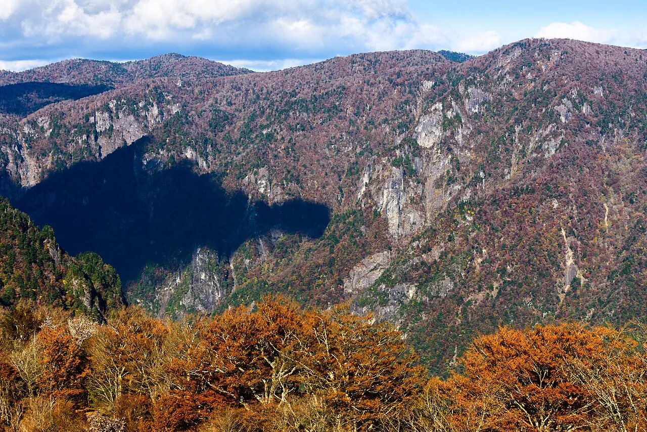
Mount Ōdaigahara
Located in Kamikitayama Mura, Yoshino-gun Coordinates: 34°11′09″ N 136°04′20″ E
- Elevation
- 1,695 m
- above sea level
- Local time
- UTC+09:00
- Asia/Tokyo · UTC+09:00
- Airports
- KIX Kansai International Airport81 km
- SHM Nanki Shirahama Airport88 km
About Mount Ōdaigahara
Mount Ōdaigahara is a mountain. Location: Kamikitayama Mura, Yoshino-gun. Elevation: 1,695 m.
Ōdaigahara-san or Ōdaigahara-yama (大台ヶ原山), also Hinode-ga-take or Hide-ga-take (日出ヶ岳) is a mountain in the Daikō Mountain Range on the border between the prefectures of Mie and Nara, Japan. Its top is the highest point in Mie at 1,695 metres (5,561 ft). Walking trails from the Nara side start from a car park at about 1,400 metres. The mountain is famous for wild deer, and also for wild birds, especially wrens and Japanese robins, as well as treecreepers and woodpeckers.
Source: Wikipedia · CC BY-SA 4.0
Climate of Mount Ōdaigahara
Best months for sightseeingBest months for sightseeing: July–August.
This month · November
A wet month
Day 7° · Night -2° · Rain 110 mm
Better nearby cities in November
- Kochi · 245 km west18°
- Fujinomiya · 259 km northeast18°
- Fuji · 262 km northeast20°
- Hottest month
- August (day 21°)
- Coldest month
- January (night -9°)
- Wettest month
- June (313 mm)
- Driest month
- December (60 mm)
Bars: average monthly low and high temperature. Below: precipitation. Monthly averages for 1970–2000 at about 18 km resolution, adjusted for elevation. Highlighted months are mild and relatively dry. Source: WorldClim 2.1 (CC BY 4.0).
Show values as a table
| Month | Jan | Feb | Mar | Apr | May | Jun | Jul | Aug | Sep | Oct | Nov | Dec |
|---|---|---|---|---|---|---|---|---|---|---|---|---|
| Average high (°C) | -1° | -1° | 3° | 9° | 13° | 16° | 20° | 21° | 17° | 12° | 7° | 2° |
| Average low (°C) | -9° | -9° | -6° | 0° | 4° | 9° | 13° | 13° | 10° | 4° | -2° | -7° |
| Precipitation (mm) | 68 | 83 | 139 | 200 | 212 | 313 | 274 | 258 | 295 | 184 | 110 | 60 |
How to get to Mount Ōdaigahara
The nearest airport is Kansai International Airport (KIX), 81 km to the west as the crow flies. The nearest large city is Kashiwara, 41 km to the northwest.
Airports
- Kansai International Airport (KIX) Osaka 81 kmwest
- Nanki Shirahama Airport (SHM) Shirahama 88 kmsouthwest
- Osaka Itami International Airport (ITM) Osaka 88 kmnorthwest
Nearby large cities
- Kashiwara Population: 120.9K 41 kmnorthwest
- Kashihara-shi Population: 124.5K 44 kmnorthwest
- Kawachi-Nagano Population: 101.7K 53 kmnorthwest
- Tondabayashi Population: 132.9K 56 kmnorthwest
- Habikino Population: 109.5K 60 kmnorthwest
Straight-line distances; road distances are longer. Airport data: OurAirports.
Day trips from Mount Ōdaigahara
Within 100 km: 24 historic and cultural sites, 33 natural sites, 23 lakes, rivers and coasts.
0–25 km8 places
- Mount Kunimi Mountain 13 kmNE
- Mount Azami Mountain 19 kmN
- Mount Shisuniwa Mountain 21 kmNW
- Choshi River River 17 kmSE
25–60 km15 places
- Mount Miwa Mountain 43 kmNW
- Mount Amanokagu Mountain 41 kmNW
- Mount Miminashi Mountain 44 kmNW
- Mount Unebi Mountain 43 kmNW
60–100 km57 places
- Tōshi-jima Island 83 kmNE
- Kii Ōshima Island 83 kmS
- Mount Rokkō Mountain 99 kmNW
- Sakate-jima Island 80 kmNE
Straight-line distances.
Nearest towns and villages
-
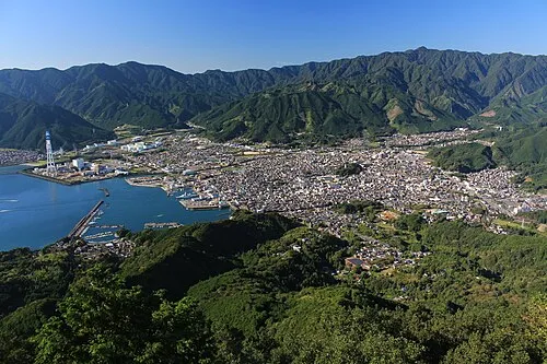 Owase City, Owase Shi18 km SE
-
 Kihoku Chō Municipality, Kitamuro15 km E
-
 Kawakami-mura Municipality, Yoshino-gun20 km NW
-
 Shimokitayama Mura Municipality, Yoshino-gun19 km SW
-
 Tenkawa-mura Municipality, Yoshino-gun21 km W
-
 Ōdai-chō Municipality, Taki-gun23 km NE
Nearby attractions & nature
Everything nearby-
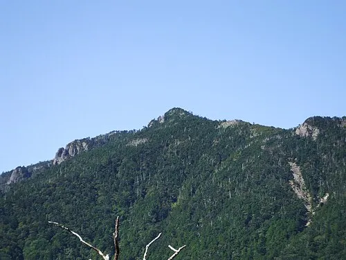 Hakken-san Mountain, Tenkawa-mura15 km W
-
Mount Kunimi Mountain, Ōdai-chō13 km NE
-
 Mount Shakka Mountain, Totsukawa Mura17 km SW
-
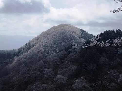 Mount Azami Mountain, Kawakami-mura19 km N
-
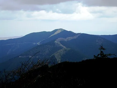 Mount Shisuniwa Mountain, Kurotaki Mura21 km NW
-
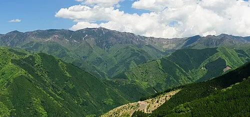 Ōmine Sanmyaku Mountain, Japan22 km W
-
 Mount Ōtenjō Mountain, Kawakami-mura18 km NW
-
 Choshi River River, Mie17 km SE
Sources & licences
Data last updated: · 2 independent sources