Hakken-san
Local name: 八経ヶ岳
Located in Tenkawa-mura, Yoshino-gun Coordinates: 34°10′28″ N 135°54′30″ E
- Elevation
- 1,914 m
- above sea level
- Local time
- UTC+09:00
- Asia/Tokyo · UTC+09:00
- Airports
- KIX Kansai International Airport67 km
- SHM Nanki Shirahama Airport76 km
About Hakken-san
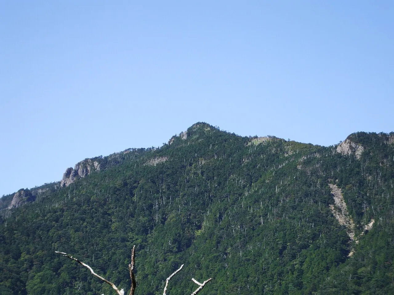
Hakken-san is a mountain. Location: Tenkawa-mura, Yoshino-gun. Elevation: 1,914 m.
Mount Hakkyō (八経ヶ岳, Hakkyō-ga-take) is a mountain within the Omine Mountains, which are located on the border of Tenkawa and Kamikitayama, Yoshino District, Nara Prefecture, Japan. At 1,914.6 m (6,281 ft), it's the tallest mountain in the in Nara Prefecture and Kansai region.
Source: Wikipedia · CC BY-SA 4.0
At a glance
- Heritage designation
- natural monument
- Topographic prominence
- 1,732 m
Source: Wikidata
Photos of Hakken-san
-

A photographer · CC BY-SA 4.0 -

ほっきー · CC0 -

A photographer · CC BY-SA 4.0 -

Indiana jo · CC BY-SA 4.0 -

Mass Ave 975 · CC BY-SA 3.0


Climate of Hakken-san
Best months for sightseeingBest months for sightseeing: July–August.
This month · November
A wet month
Day 5° · Night -3° · Rain 109 mm
Better nearby cities in November
- Kochi · 230 km west18°
- Fujinomiya · 273 km northeast18°
- Fuji · 277 km northeast20°
- Hottest month
- August (day 19°)
- Coldest month
- January (night -10°)
- Wettest month
- June (314 mm)
- Driest month
- December (61 mm)
Bars: average monthly low and high temperature. Below: precipitation. Monthly averages for 1970–2000 at about 18 km resolution, adjusted for elevation. Highlighted months are mild and relatively dry. Source: WorldClim 2.1 (CC BY 4.0).
Show values as a table
| Month | Jan | Feb | Mar | Apr | May | Jun | Jul | Aug | Sep | Oct | Nov | Dec |
|---|---|---|---|---|---|---|---|---|---|---|---|---|
| Average high (°C) | -3° | -2° | 2° | 7° | 12° | 15° | 18° | 19° | 16° | 10° | 5° | 0° |
| Average low (°C) | -10° | -10° | -8° | -2° | 3° | 7° | 12° | 12° | 9° | 3° | -3° | -8° |
| Precipitation (mm) | 72 | 83 | 138 | 198 | 212 | 314 | 275 | 253 | 289 | 177 | 109 | 61 |
How to get to Hakken-san
The nearest airport is Kansai International Airport (KIX), 67 km to the northwest as the crow flies. The nearest large city is Kashiwara, 33 km to the northwest.
Airports
- Kansai International Airport (KIX) Osaka 67 kmnorthwest
- Nanki Shirahama Airport (SHM) Shirahama 76 kmsouthwest
- Osaka Itami International Airport (ITM) Osaka 80 kmnorthwest
Nearby large cities
- Kashiwara Population: 120.9K 33 kmnorthwest
- Kashihara-shi Population: 124.5K 39 kmnorth
- Kawachi-Nagano Population: 101.7K 42 kmnorthwest
- Tondabayashi Population: 132.9K 46 kmnorthwest
- Habikino Population: 109.5K 51 kmnorthwest
Straight-line distances; road distances are longer. Airport data: OurAirports.
Day trips from Hakken-san
Within 100 km: 28 historic and cultural sites, 37 natural sites, 20 lakes, rivers and coasts.
0–25 km6 places
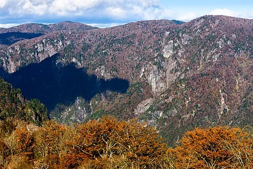
- Mount Ōdaigahara Mountain 15 kmE
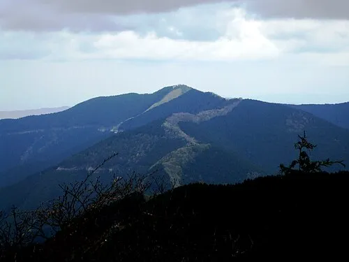
- Mount Shisuniwa Mountain 16 kmN
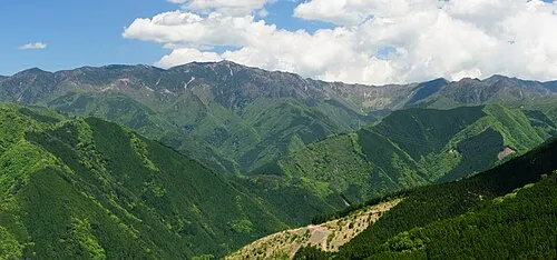
- Ōmine Sanmyaku Mountain 7 kmW
- Mount Shakka Mountain 7 kmS
25–60 km19 places
- Mount Miwa Mountain 40 kmN
- Mount Amanokagu Mountain 37 kmN
- Mount Miminashi Mountain 39 kmN
- Mount Unebi Mountain 37 kmN
60–100 km60 places
- Tōshi-jima Island 98 kmNE
- Kii Ōshima Island 79 kmS
- Mount Rokkō Mountain 89 kmNW
- Sakate-jima Island 94 kmE
Straight-line distances.
Nearest towns and villages
-
 Kamikitayama Mura Municipality, Yoshino-gun11 km E
-
 Shimokitayama Mura Municipality, Yoshino-gun15 km S
-
 Kurotaki Mura Municipality, Yoshino-gun15 km N
-
 Kawakami-mura Municipality, Yoshino-gun19 km N
-
 Totsukawa Mura Municipality, Yoshino-gun22 km SW
-
 Yoshino-chō Municipality, Yoshino-gun25 km N
Nearby attractions & nature
Everything nearby-
 Mount Shakka Mountain, Totsukawa Mura6.7 km S
-
 Ōmine Sanmyaku Mountain, Japan7 km W
-
 Mount Shisuniwa Mountain, Kurotaki Mura16 km N
-
 Mount Ōtenjō Mountain, Kawakami-mura12 km N
-
 Mount Ōdaigahara Mountain, Kamikitayama Mura15 km E
-
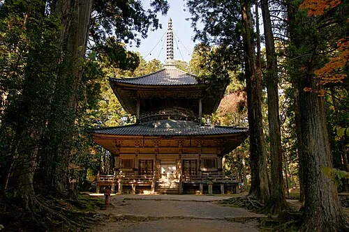 Kii Hantō Natural site, Japan24 km SW
Sources & licences
Data last updated: · 2 independent sources