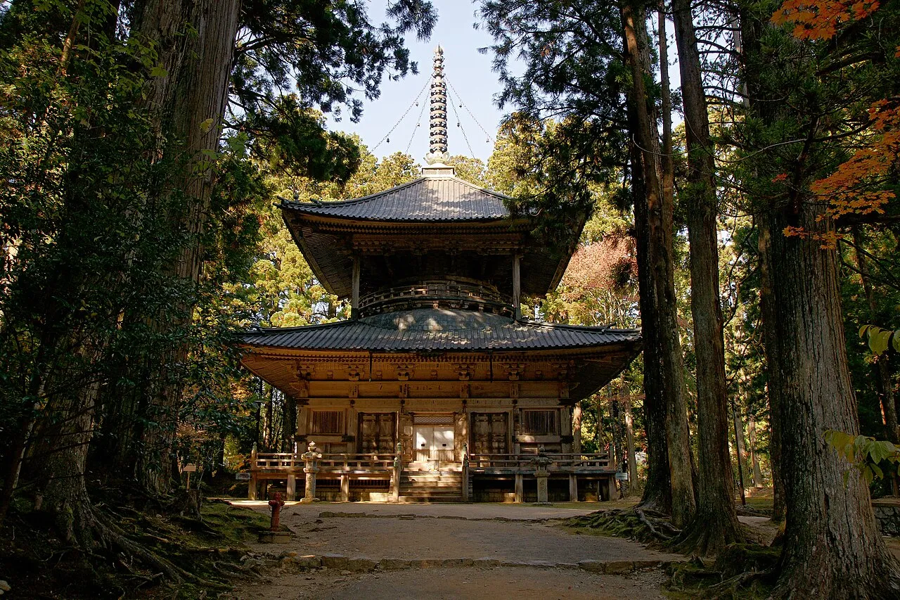
- Elevation
- 809 m
- above sea level
- Local time
- UTC+09:00
- Asia/Tokyo · UTC+09:00
- Airports
- SHM Nanki Shirahama Airport52 km
- KIX Kansai International Airport66 km
About Kii Hantō
Kii Hantō is a natural site. Location: Japan.
The Kii Peninsula (Japanese: 紀伊半島, Hepburn: Kii Hantō) is the largest peninsula on the island of Honshū, located in the Kansai region of Japan. It is named after the ancient Kii Province. The peninsula has long been a sacred place in Buddhism, Shinto, and Shugendo, and many people would visit from all over Japan as part of the Kumano religious practices.
Read more on Wikipedia Text: Wikipedia contributors · CC BY-SA 4.0 · shortened
Climate of Kii Hantō
Best months for sightseeingBest months for sightseeing: June–September.
Bars: average monthly low and high temperature. Below: precipitation. Monthly averages for 1970–2000 at about 18 km resolution, adjusted for elevation. Highlighted months are mild and relatively dry. Source: WorldClim 2.1 (CC BY 4.0).
Show values as a table
| Month | Jan | Feb | Mar | Apr | May | Jun | Jul | Aug | Sep | Oct | Nov | Dec |
|---|---|---|---|---|---|---|---|---|---|---|---|---|
| Average high (°C) | 5° | 5° | 9° | 14° | 18° | 21° | 25° | 26° | 22° | 17° | 12° | 7° |
| Average low (°C) | -3° | -3° | 0° | 6° | 10° | 14° | 18° | 19° | 16° | 10° | 4° | -1° |
| Precipitation (mm) | 65 | 80 | 135 | 195 | 209 | 309 | 240 | 219 | 284 | 178 | 118 | 57 |
Other places to visit in this season: June July August September
Airports nearest to Kii Hantō
- Nanki Shirahama Airport (SHM) Shirahama 52 km
- Kansai International Airport (KIX) Osaka 66 km
- Kobe Airport (UKB) Kobe 85 km
Straight-line distance; airports with scheduled flights only. Source: OurAirports (public domain).
Nearest towns and villages
-
Totsukawa Mura Municipality, Yoshino-gun1.9 km NE
-
Hongū Village, Tanabe Shi19 km S
-
Nosegawa Mura Municipality, Yoshino-gun18 km NW
-
Shimokitayama Mura Municipality, Yoshino-gun19 km E
-
Kitayama Mura Municipality, Higashimuro-gun19 km E
-
Tenkawa-mura Municipality, Yoshino-gun29 km N
Nearby attractions & nature
Everything nearby-
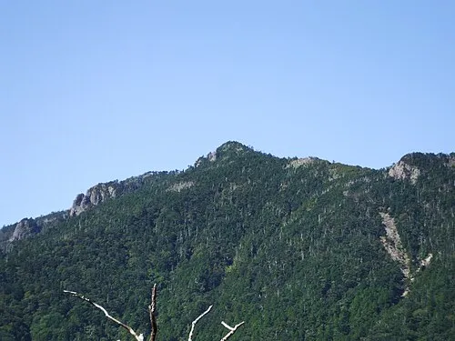 Hakken-san Mountain, Tenkawa-mura24 km NE
-
 Mount Shakka Mountain, Totsukawa Mura19 km NE
-
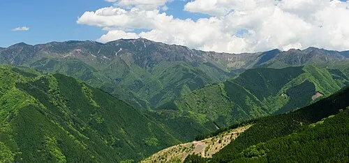 Ōmine Sanmyaku Mountain, Japan20 km N
More nature in Japan
-
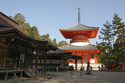 Mount Kōya Mountain, Wakayama29 km NW
-
 Mount Ōtenjō Mountain, Kawakami-mura35 km NE
-
 Mount Amanokagu Mountain, Kashihara City55 km N
-
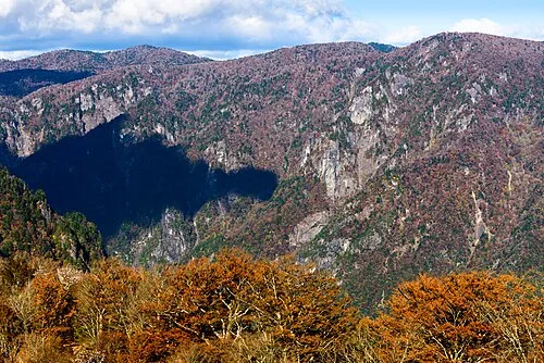 Mount Ōdaigahara Mountain, Kamikitayama Mura36 km NE
-
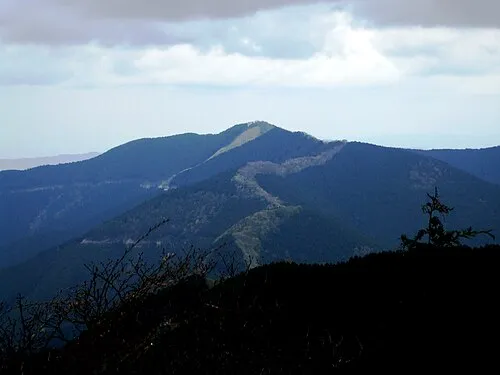 Mount Shisuniwa Mountain, Kurotaki Mura39 km N
-
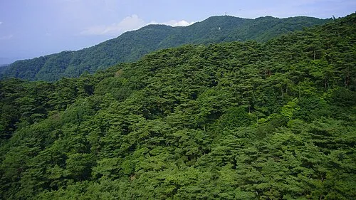 Mount Rokkō Mountain, Kita Ku97 km NW
Sources & licences
Data last updated: · 2 independent sources