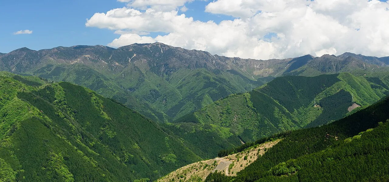
- Elevation
- 659 m
- above sea level
- Local time
- UTC+09:00
- Asia/Tokyo · UTC+09:00
- Airports
- KIX Kansai International Airport61 km
- SHM Nanki Shirahama Airport71 km
About Ōmine Sanmyaku
Ōmine Sanmyaku is a mountain. Location: Japan. Elevation: 659 m. The best months to visit are June–July, September. The nearest airport is Kansai International Airport (61 km). Nearby sights include Hakken-san and Mount Shakka.
Climate of Ōmine Sanmyaku
Best months for sightseeingBest months for sightseeing: June–July, September.
This month · November
Outside the best season
Day 13° · Night 4° · Rain 99 mm
Better nearby cities in November
- Kochi · 223 km west18°
- Fujinomiya · 280 km northeast18°
- Fuji · 283 km northeast20°
- Hottest month
- August (day 27°)
- Coldest month
- January (night -3°)
- Wettest month
- June (282 mm)
- Driest month
- December (52 mm)
Bars: average monthly low and high temperature. Below: precipitation. Monthly averages for 1970–2000 at about 18 km resolution, adjusted for elevation. Highlighted months are mild and relatively dry. Source: WorldClim 2.1 (CC BY 4.0).
Show values as a table
| Month | Jan | Feb | Mar | Apr | May | Jun | Jul | Aug | Sep | Oct | Nov | Dec |
|---|---|---|---|---|---|---|---|---|---|---|---|---|
| Average high (°C) | 5° | 6° | 9° | 15° | 19° | 22° | 26° | 27° | 23° | 18° | 13° | 8° |
| Average low (°C) | -3° | -3° | 0° | 6° | 11° | 15° | 19° | 20° | 16° | 10° | 4° | -1° |
| Precipitation (mm) | 63 | 74 | 125 | 179 | 190 | 282 | 231 | 198 | 256 | 159 | 99 | 52 |
How to get to Ōmine Sanmyaku
The nearest airport is Kansai International Airport (KIX), 61 km to the northwest as the crow flies. The nearest large city is Kashiwara, 32 km to the north.
Airports
- Kansai International Airport (KIX) Osaka 61 kmnorthwest
- Nanki Shirahama Airport (SHM) Shirahama 71 kmsouthwest
- Kobe Airport (UKB) Kobe 76 kmnorthwest
Nearby large cities
- Kashiwara Population: 120.9K 32 kmnorth
- Kawachi-Nagano Population: 101.7K 38 kmnorthwest
- Kashihara-shi Population: 124.5K 38 kmnorth
- Tondabayashi Population: 132.9K 43 kmnorthwest
- Habikino Population: 109.5K 48 kmnorthwest
Straight-line distances; road distances are longer. Airport data: OurAirports.
Nearest towns and villages
-
Tenkawa-mura Municipality, Yoshino-gun8.6 km N
-
Kurotaki Mura Municipality, Yoshino-gun16 km N
-
Totsukawa Mura Municipality, Yoshino-gun18 km S
-
Shimokitayama Mura Municipality, Yoshino-gun17 km SE
-
Kamikitayama Mura Municipality, Yoshino-gun18 km E
-
Nosegawa Mura Municipality, Yoshino-gun18 km W
Nearby attractions & nature
Everything nearby-
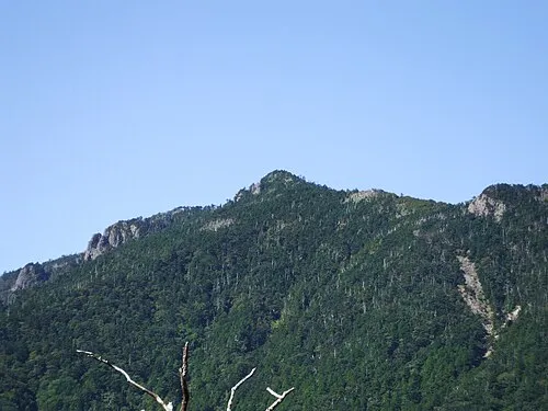 Hakken-san Mountain, Tenkawa-mura7 km E
-
 Mount Shakka Mountain, Totsukawa Mura8.7 km SE
-
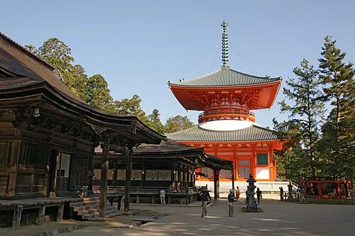 Mount Kōya Mountain, Wakayama24 km W
-
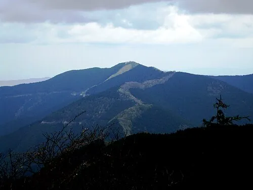 Mount Shisuniwa Mountain, Kurotaki Mura18 km N
-
 Mount Ōtenjō Mountain, Kawakami-mura15 km NE
-
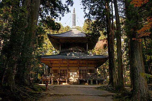 Kii Hantō Natural site, Japan20 km SW
-
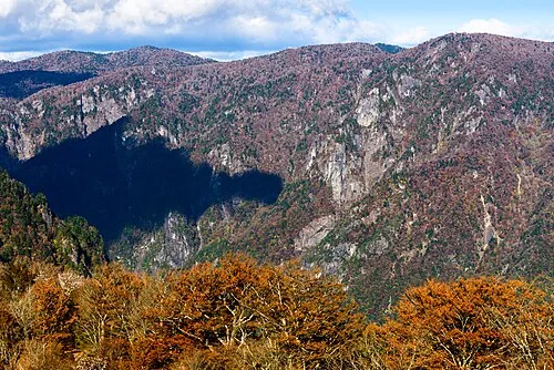 Mount Ōdaigahara Mountain, Kamikitayama Mura22 km E
More nature in Japan
-
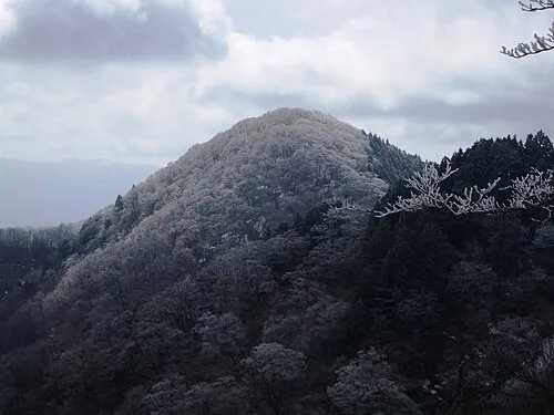 Mount Azami Mountain, Kawakami-mura30 km NE
-
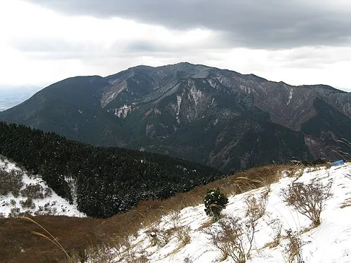 Kongō San Mountain, Gose Shi32 km NW
-
 Mount Amanokagu Mountain, Kashihara City37 km N
-
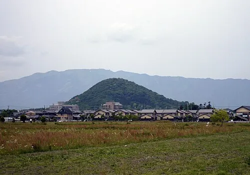 Mount Unebi Mountain, Kashihara City36 km N
-
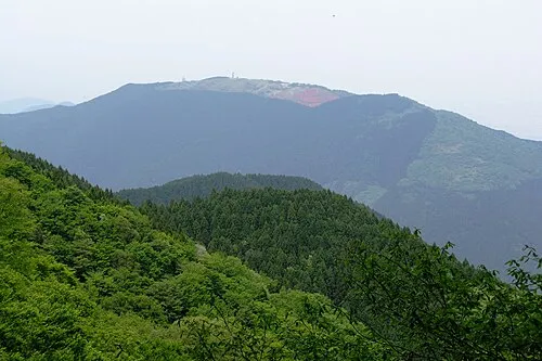 Mount Minami Katsuragi Mountain, Chihaya-akasaka Mura35 km NW
-
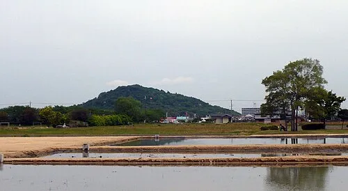 Mount Miminashi Mountain, Kashihara City39 km N
Sources & licences
Data last updated: · 2 independent sources