Yoshino-chō
Local name: 吉野町
Located in Yoshino-gun, Nara Coordinates: 34°23′46″ N 135°51′28″ E
- Population
- 8,420
- 8.4K
- Elevation
- 165 m
- above sea level
- Local time
- UTC+09:00
- Asia/Tokyo · UTC+09:00
- Places inside
- 1
- listed under Yoshino-chō
- Airports
- KIX Kansai International Airport57 km
- ITM Osaka Itami International Airport57 km
About Yoshino-chō
Yoshino-chō is a municipality. Location: Yoshino-gun, Nara. Population: 8,420. Elevation: 165 m.
Yoshino (吉野町, Yoshino-chō) is a town located in Yoshino District, Nara Prefecture, Japan. As of 30 September 2024, the town had an estimated population of 5,874 in 2,997 households, and a population density of 61 persons per km2. The total area of the town is 95.65 km2 (36.93 sq mi). In 2012, Yoshino was designated one of The Most Beautiful Villages in Japan.
Source: Wikipedia · CC BY-SA 4.0
Travel notes for Yoshino-chō
From Wikivoyage
Yoshino (吉野) is a town in Nara Prefecture, Japan.
Understand+
Together with many other individual sites, 8 ancient temples and shrines built in the mountain area of Yoshino are listed as a part of UNESCO World Heritage under the name of Sacred Sites and Pilgrimage Routes in the Kii Mountain Range.
Mount Yoshino (alt. 455m) has been described for many centuries as one of Japan's most beautiful cherry blossom spots.
Tourist information site:
The local tourist associations have a Japanese-only guide site.
Get in+
By plane:
There are no direct services from either of Osaka's airports to Yoshino.
From Osaka-Kansai, there are 13 buses a day to Yamato-Yagi station in Kashihara, taking 1hr 20mins and ¥1950 (¥3700 return, valid for 14 days); you will then have to take a train to Kashihara-jingū-mae, and change again there for a train to Yoshino. Three morning buses to the airport and three evening buses to Kashihara stop at Takada-shi station, from where there are direct trains to Yoshino. If going through Yamato-Yagi is too much for you, the alternative is to take a JR Haruka or Airport Rapid to Tennōji and change there to a Kintetsu train from Abenobashi.
If coming from Osaka-Itami, the most convenient way is to take the bus to Abenobashi and change there to the train.
By train:
The main way to reach Yoshino is by Kintetsu. Direct trains run from Osaka Abenobashi, which is next to Tennōji Station on the JR and Subway lines; from there, Limited Expresses usually run hourly (taking 1hr 20mins and ¥1480) and Expresses half-hourly (taking 1hr 35mins and ¥970). If you want to use a Deluxe Seat on the Sakura Liner, or the Blue Symphony Sightseeing Limited Express (which runs twice a day, usually every day except Wednesday, and offers local specialities on board), this will cost ¥1690.
From Kyoto, you can take a Limited Express to Kashihara-jingū-mae and change there to a train to Yoshino; this will take at least 1hr 45mins and cost ¥2550. (There are no direct trains from Kyoto because the rail gauge is different beyond Kashihara-jingū-mae.) You can go the whole way on Express trains for only ¥1230, but this will take at least 2hrs 10mins. All these trains stop at Yamato-Saidaiji station in Nara, and Yamato-Yagi station in Kashihara; Yoshino is 1hr 10mins and ¥520 away from the latter. Going through Kyoto is the easiest way from Tokyo.
Source: Wikivoyage · CC BY-SA 4.0 · abridged
Places bordering Yoshino-chō
- Sakurai-shi
- Ōuda-yamaguchi
- HIgashiyoshino Mura
- Kawakami-mura
- Kurotaki Mura
- Ōyodo-chō
Population of Yoshino-chō over time
| 2010 | 8,642 | |
|---|---|---|
| 2015 | 7,399 | |
| 2021 | 6,101 |
Censuses and official estimates; source: Wikidata.
Climate of Yoshino-chō
Best months for sightseeingBest months for sightseeing: May–June, September–October.
This month · November
Outside the best season
Day 16° · Night 7° · Rain 91 mm
Better nearby cities in November
- Kochi · 234 km southwest18°
- Fujinomiya · 268 km east18°
- Fuji · 272 km east20°
- Hottest month
- August (day 31°)
- Coldest month
- January (night 0°)
- Wettest month
- June (262 mm)
- Driest month
- December (48 mm)
Bars: average monthly low and high temperature. Below: precipitation. Monthly averages for 1970–2000 at about 18 km resolution, adjusted for elevation. Highlighted months are mild and relatively dry. Source: WorldClim 2.1 (CC BY 4.0).
Show values as a table
| Month | Jan | Feb | Mar | Apr | May | Jun | Jul | Aug | Sep | Oct | Nov | Dec |
|---|---|---|---|---|---|---|---|---|---|---|---|---|
| Average high (°C) | 8° | 9° | 12° | 18° | 22° | 25° | 29° | 31° | 27° | 21° | 16° | 11° |
| Average low (°C) | 0° | 0° | 3° | 9° | 13° | 18° | 22° | 23° | 19° | 13° | 7° | 2° |
| Precipitation (mm) | 58 | 69 | 118 | 167 | 175 | 262 | 221 | 182 | 240 | 153 | 91 | 48 |
Other places to visit in this season: May June September October
How to get to Yoshino-chō
The nearest airport is Kansai International Airport (KIX), 57 km to the west as the crow flies. The nearest large city is Kashiwara, 10 km to the northwest.
Airports
- Kansai International Airport (KIX) Osaka 57 kmwest
- Osaka Itami International Airport (ITM) Osaka 57 kmnorthwest
- Kobe Airport (UKB) Kobe 64 kmnorthwest
Nearby large cities
- Kashiwara Population: 120.9K 10 kmnorthwest
- Kashihara-shi Population: 124.5K 14 kmnorthwest
- Kawachi-Nagano Population: 101.7K 26 kmwest
- Tondabayashi Population: 132.9K 26 kmnorthwest
- Habikino Population: 109.5K 30 kmnorthwest
Straight-line distances; road distances are longer. Airport data: OurAirports.
Day trips from Yoshino-chō
Within 100 km: 28 historic and cultural sites, 44 natural sites, 24 lakes, rivers and coasts.
0–25 km10 places
- Mount Miwa Mountain 15 kmN
- Mount Amanokagu Mountain 12 kmN
- Mount Miminashi Mountain 14 kmN
- Mount Unebi Mountain 13 kmNW
25–60 km25 places
- Mount Ōdaigahara Mountain 31 kmSE
- Mount Kunimi Mountain 30 kmSE
- Choshi River River 47 kmSE
- Hakken-san Mountain 25 kmS
60–100 km61 places
- Awaji Island Island 95 kmW
- Tōshi-jima Island 95 kmE
- Mount Rokkō Mountain 69 kmNW
- Sakate-jima Island 92 kmE
Straight-line distances.
Places in Yoshino-chō
1 placeCities & villages1
- Yoshinoyama · Village
Nearby attractions & nature
Everything nearby-
 Mount Amanokagu Mountain, Kashihara City12 km N
-
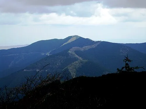 Mount Shisuniwa Mountain, Kurotaki Mura9.6 km SE
-
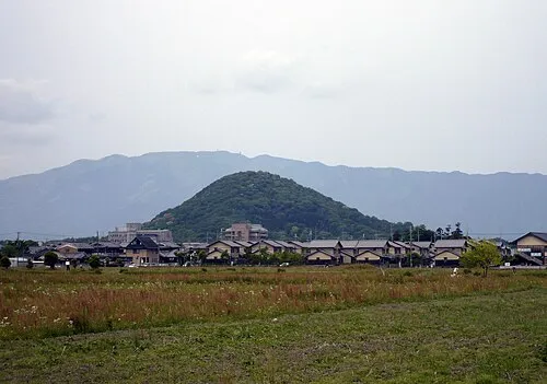 Mount Unebi Mountain, Kashihara City13 km NW
-
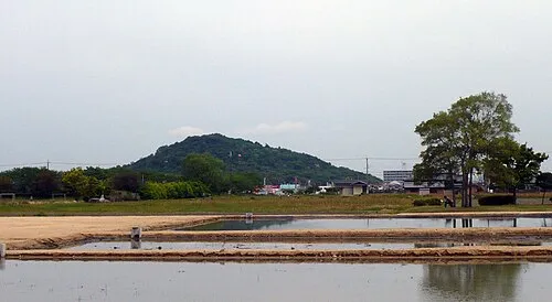 Mount Miminashi Mountain, Kashihara City14 km N
-
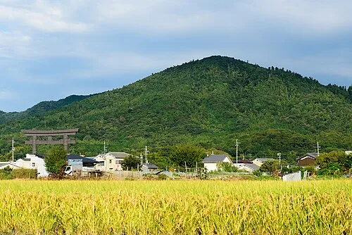 Mount Miwa Mountain, Sakurai-shi15 km N
-
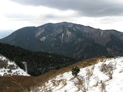 Kongō San Mountain, Gose Shi17 km W
-
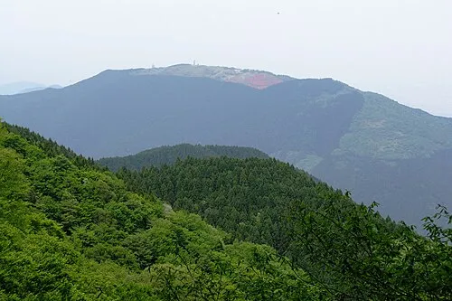 Mount Minami Katsuragi Mountain, Chihaya-akasaka Mura17 km NW
-
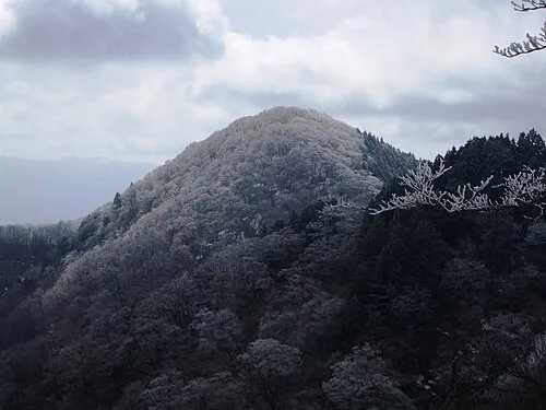 Mount Azami Mountain, Kawakami-mura20 km E
Sources & licences
Data last updated: · 2 independent sources