HIgashiyoshino Mura
Local name: 東吉野村
Located in Yoshino-gun, Nara Coordinates: 34°24′24″ N 136°01′41″ E

- Population
- 2,156
- 2.2K
- Elevation
- 692 m
- above sea level
- Local time
- UTC+09:00
- Asia/Tokyo · UTC+09:00
- Places inside
- 1
- listed under HIgashiyoshino Mura
- Airports
- ITM Osaka Itami International Airport68 km
- KIX Kansai International Airport72 km
About HIgashiyoshino Mura
HIgashiyoshino Mura is a municipality. Location: Yoshino-gun, Nara. Population: 2,156. Elevation: 692 m.
Higashiyoshino (東吉野村, Higashiyoshino-mura) is a village located in Yoshino District, Nara Prefecture, Japan. As of 1 January 2025, the village had an estimated population of 1,322 and a population density of 10 persons per km2. The total area of the village is 131.65 km2 (50.83 sq mi). It is where the last Japanese wolf was shot and killed on January 23, 1905. It is now kept as a specimen at the British Museum.
Source: Wikipedia · CC BY-SA 4.0
Photos of HIgashiyoshino Mura
-

Takami Yama ys1979 · CC BY 3.0 -
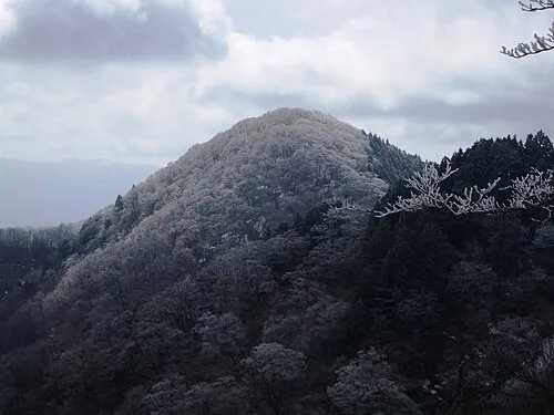
Mount Azami Mass Ave 975 · CC BY-SA 3.0


Places bordering HIgashiyoshino Mura
- Ōuda-yamaguchi
- Yoshino-chō
- Kawakami-mura
- Soni Mura
- Mitsue Mura
- Matsusaka
Twin towns and sister cities of HIgashiyoshino Mura
- Sakai Shi· Japan
Source: Wikidata. Only places with a page on this site are shown.
Population of HIgashiyoshino Mura over time
| 2010 | 2,143 | |
|---|---|---|
| 2015 | 1,745 | |
| 2021 | 1,428 |
Censuses and official estimates; source: Wikidata.
Climate of HIgashiyoshino Mura
Best months for sightseeingBest months for sightseeing: June–July, September.
This month · November
A wet month
Day 13° · Night 4° · Rain 101 mm
Better nearby cities in November
- Kochi · 249 km west18°
- Fujinomiya · 253 km east18°
- Fuji · 257 km east20°
- Hottest month
- August (day 27°)
- Coldest month
- January (night -3°)
- Wettest month
- June (291 mm)
- Driest month
- December (57 mm)
Bars: average monthly low and high temperature. Below: precipitation. Monthly averages for 1970–2000 at about 18 km resolution, adjusted for elevation. Highlighted months are mild and relatively dry. Source: WorldClim 2.1 (CC BY 4.0).
Show values as a table
| Month | Jan | Feb | Mar | Apr | May | Jun | Jul | Aug | Sep | Oct | Nov | Dec |
|---|---|---|---|---|---|---|---|---|---|---|---|---|
| Average high (°C) | 5° | 5° | 9° | 15° | 19° | 22° | 26° | 27° | 23° | 18° | 13° | 8° |
| Average low (°C) | -3° | -3° | 0° | 6° | 10° | 15° | 19° | 20° | 16° | 10° | 4° | -1° |
| Precipitation (mm) | 66 | 78 | 130 | 185 | 195 | 291 | 257 | 229 | 273 | 172 | 101 | 57 |
How to get to HIgashiyoshino Mura
The nearest airport is Osaka Itami International Airport (ITM), 68 km to the northwest as the crow flies. The nearest large city is Kashihara-shi, 24 km to the northwest.
Airports
- Osaka Itami International Airport (ITM) Osaka 68 kmnorthwest
- Kansai International Airport (KIX) Osaka 72 kmwest
- Kobe Airport (UKB) Kobe 78 kmwest
Nearby large cities
- Kashihara-shi Population: 124.5K 24 kmnorthwest
- Kashiwara Population: 120.9K 24 kmwest
- Nara Population: 367.4K 37 kmnorthwest
- Tondabayashi Population: 132.9K 40 kmwest
- Kawachi-Nagano Population: 101.7K 41 kmwest
Straight-line distances; road distances are longer. Airport data: OurAirports.
Day trips from HIgashiyoshino Mura
Within 100 km: 29 historic and cultural sites, 43 natural sites, 30 lakes, rivers and coasts.
0–25 km10 places
- Mount Miwa Mountain 20 kmNW
- Mount Amanokagu Mountain 22 kmNW
- Mount Miminashi Mountain 24 kmNW
- Mount Unebi Mountain 24 kmNW
25–60 km20 places
- Kumozu River River 54 kmNE
- Choshi River River 39 kmSE
- Kizu River River 59 kmNW
- Ikoma Yama Mountain 44 kmNW
60–100 km72 places
- Tōshi-jima Island 80 kmE
- Himakajima Island 96 kmE
- Mount Rokkō Mountain 81 kmNW
- Sakate-jima Island 77 kmE
Straight-line distances.
Places in HIgashiyoshino Mura
1 placeNearby attractions & nature
Everything nearby-
Mount Azami Mountain, Kawakami-mura6.2 km SE
-
 Mount Amanokagu Mountain, Kashihara City22 km NW
-
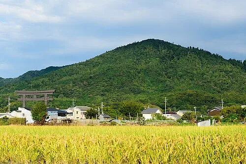 Mount Miwa Mountain, Sakurai-shi20 km NW
-
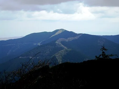 Mount Shisuniwa Mountain, Kurotaki Mura14 km SW
-
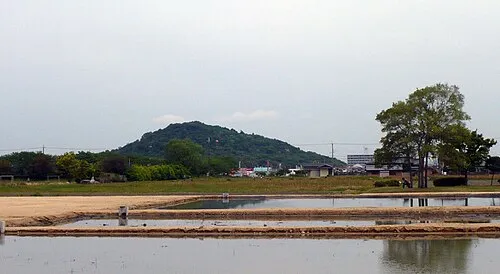 Mount Miminashi Mountain, Kashihara City24 km NW
-
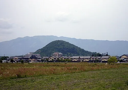 Mount Unebi Mountain, Kashihara City24 km NW
-
Mount Kunimi Mountain, Ōdai-chō18 km SE
-
 Mount Ōtenjō Mountain, Kawakami-mura17 km SW
Other cities and towns in Yoshino-gun
-
 Ōyodo-chō Municipality, Yoshino-gun22 km W
-
 Kurotaki Mura Municipality, Yoshino-gun19 km SW
-
 Tenkawa-mura Municipality, Yoshino-gun24 km SW
-
 Kamikitayama Mura Municipality, Yoshino-gun30 km S
-
Shimoichi Town, Yoshino-gun22 km W
-
 Shimokitayama Mura Municipality, Yoshino-gun41 km S
Sources & licences
Data last updated: · 2 independent sources