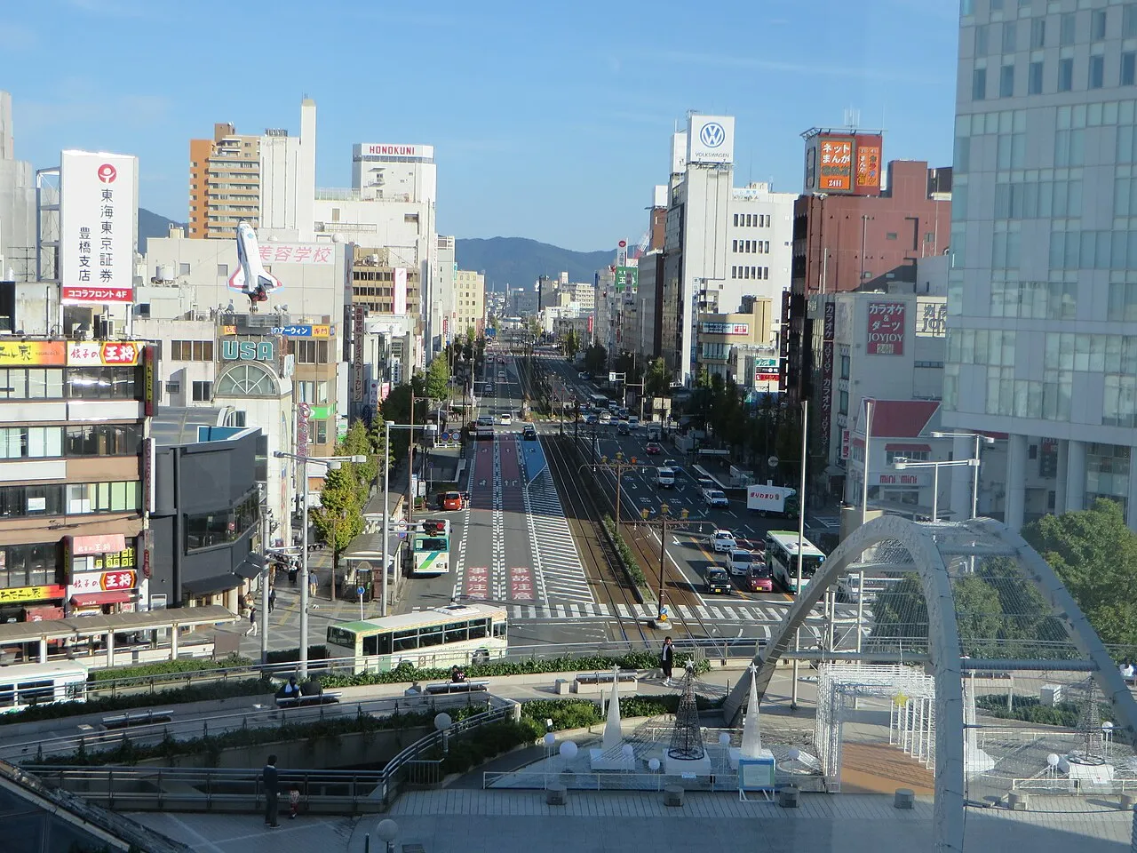
- Population
- 378,455
- 378.5K
- Elevation
- 24 m
- above sea level
- Local time
- UTC+09:00
- Asia/Tokyo · UTC+09:00
- Places inside
- 1
- listed under Toyohashi
- Airports
- NGO Chubu Centrair International Airport57 km
- FSZ Mount Fuji Shizuoka Airport72 km
About Toyohashi
Toyohashi is a district. Location: Aichi, Japan. Population: 378,455. The best months to visit are May–June, October. The nearest airport is Chubu Centrair International Airport (57 km). Nearby sights include Toyo River and Atsumi Peninsula.
Climate of Toyohashi
Best months for sightseeingBest months for sightseeing: May–June, October.
Bars: average monthly low and high temperature. Below: precipitation. Monthly averages for 1970–2000 at about 18 km resolution, adjusted for elevation. Highlighted months are mild and relatively dry. Source: WorldClim 2.1 (CC BY 4.0).
Show values as a table
| Month | Jan | Feb | Mar | Apr | May | Jun | Jul | Aug | Sep | Oct | Nov | Dec |
|---|---|---|---|---|---|---|---|---|---|---|---|---|
| Average high (°C) | 9° | 10° | 13° | 19° | 23° | 25° | 29° | 30° | 27° | 22° | 17° | 12° |
| Average low (°C) | 1° | 2° | 5° | 10° | 14° | 19° | 22° | 23° | 20° | 14° | 9° | 4° |
| Precipitation (mm) | 61 | 81 | 136 | 185 | 201 | 259 | 227 | 217 | 228 | 177 | 107 | 60 |
Airports nearest to Toyohashi
- Chubu Centrair International Airport (NGO) Tokoname 57 km
- Mount Fuji Shizuoka Airport (FSZ) Makinohara / Shimada 72 km
- Nagoya Airport / JASDF Komaki Air Base (NKM) Nagoya 72 km
Straight-line distance; airports with scheduled flights only. Source: OurAirports (public domain).
Places in Toyohashi
1 place
Toyohashi
Population: 377.5K
Nearby attractions & nature
Everything nearby-
Toyo River River, Japan7.4 km NW
-
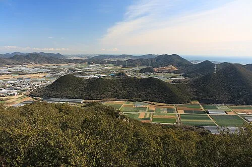 Atsumi Peninsula Natural site, Aichi18 km SW
-
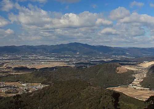 Hongū-zan Mountain, Toyokawa-shi18 km N
Sources & licences
Data last updated: