- Population
- 2,326,844
- 2.3M
- Elevation
- 23 m
- above sea level
- Local time
- UTC+09:00
- Asia/Tokyo · UTC+09:00
- Places inside
- 15
- listed under Nagoya
- Airports
- NKM Nagoya Airport / JASDF Komaki Air Base8 km
- NGO Chubu Centrair International Airport37 km
About Nagoya
Nagoya is a district. Location: Aichi, Japan. Population: 2,326,844.
Nagoya (名古屋市, Nagoya-shi; [nä́.ɡò̞.jä̀, -ŋò̞.jä̀, nä̀.ɡó̞.jä́.ɕì, -ŋó̞.jä́-] ) is the capital and most populous city of Aichi Prefecture in Japan. It is the largest city in the Chūbu region, the fourth-most populous city in Japan (with a 2025 population of 2.3 million), and the principal city of the Chūkyō metropolitan area, which is itself the third-most populous metropolitan area in Japan (with a population of 10.11 million).
Read more on Wikipedia Text: Wikipedia contributors · CC BY-SA 4.0 · shortened
Places bordering Nagoya
- Nisshin-shi
- Seto
- Kasugai
- Tōkai-shi
- Ōbu
- Owariasahi
- Toyoake
- Kiyosu
- Kitanagoya
- Ama
- Nagakute-shi
- Tōgō
- Toyoyama
- Ōharu Chō
- Kanie
- Tobishima Mura
Twin towns and sister cities of Nagoya
- Los Angeles· United States
- Mexico City· Mexico
- Toyota· Japan
- Rikuzen-takata Shi· Japan
Source: Wikidata. Only places with a page on this site are shown.
Population of Nagoya over time
| 2010 | 2,263,894 | |
|---|---|---|
| 2015 | 2,295,638 | |
| 2021 | 2,326,844 |
Censuses and official estimates; source: Wikidata.
Climate of Nagoya
Best months for sightseeingBest months for sightseeing: April–June, October.
Bars: average monthly low and high temperature. Below: precipitation. Monthly averages for 1970–2000 at about 18 km resolution, adjusted for elevation. Highlighted months are mild and relatively dry. Source: WorldClim 2.1 (CC BY 4.0).
Show values as a table
| Month | Jan | Feb | Mar | Apr | May | Jun | Jul | Aug | Sep | Oct | Nov | Dec |
|---|---|---|---|---|---|---|---|---|---|---|---|---|
| Average high (°C) | 9° | 9° | 13° | 19° | 24° | 27° | 30° | 32° | 28° | 22° | 17° | 11° |
| Average low (°C) | 0° | 0° | 3° | 9° | 14° | 18° | 22° | 23° | 20° | 13° | 7° | 2° |
| Precipitation (mm) | 62 | 83 | 134 | 193 | 194 | 279 | 280 | 197 | 257 | 145 | 95 | 55 |
Other places to visit in this season: April May June October
Airports nearest to Nagoya
- Nagoya Airport / JASDF Komaki Air Base (NKM) Nagoya 8 km
- Chubu Centrair International Airport (NGO) Tokoname 37 km
- Mount Fuji Shizuoka Airport (FSZ) Makinohara / Shimada 125 km
Straight-line distance; airports with scheduled flights only. Source: OurAirports (public domain).
Places in Nagoya
15 places- 1 Midori Ku 248.2K
- 2 Nakagawa-ku 221.5K
- 3 Moriyama Ku 176.8K
- 4 Chikusa-ku 165.8K
- 5 Kita 165.8K
- 6 Tempaku 164.9K
- 7 Meitō Ku 164.1K
- 8 Nishi 149.8K
- 9 Minato-ku 149.2K
- 10 Minami Ku 141.3K
- 11 Shōwa-ku 110.8K
- 12 Mizuho-ku 108.1K
- 13 Naka 91.6K
- 14 Higashi 84.3K
- 15 Atsuta 66.3K
Bar: population relative to the most populous place in this list.
Nature and heritage in Nagoya
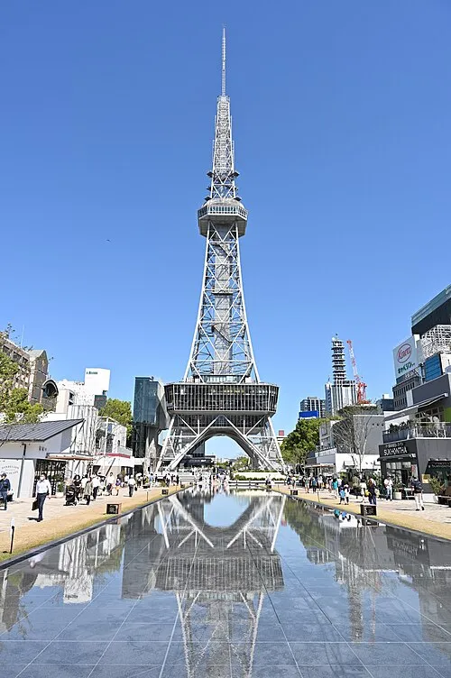
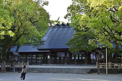
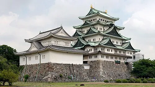
Nearby attractions & nature
Everything nearby-
Hori River River, Aichi9.9 km S
-
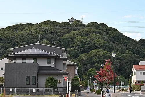 Mount Komaki Mountain, Komaki12 km N
-
Nikkō River River, Aichi13 km SW
-
Kiso River River, Mie22 km SW
-
Shonai River River, Japan17 km S
-
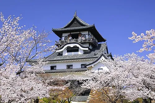 Inuyama castle Historic site, Inuyama-shi23 km N
Sources & licences
Data last updated: · 2 independent sources