Matsuyama castle
Located in Matsuyama-shi, Ehime Coordinates: 33°50′44″ N 132°45′56″ E
- Local time
- UTC+09:00
- Asia/Tokyo · UTC+09:00
- Elevation
- 130 m
- above sea level
- Airports
- MYJ Matsuyama Airport6 km
- IWK Iwakuni Kintaikyo Airport58 km
About Matsuyama castle
Matsuyama castle is a historic site. Location: Matsuyama-shi, Ehime.
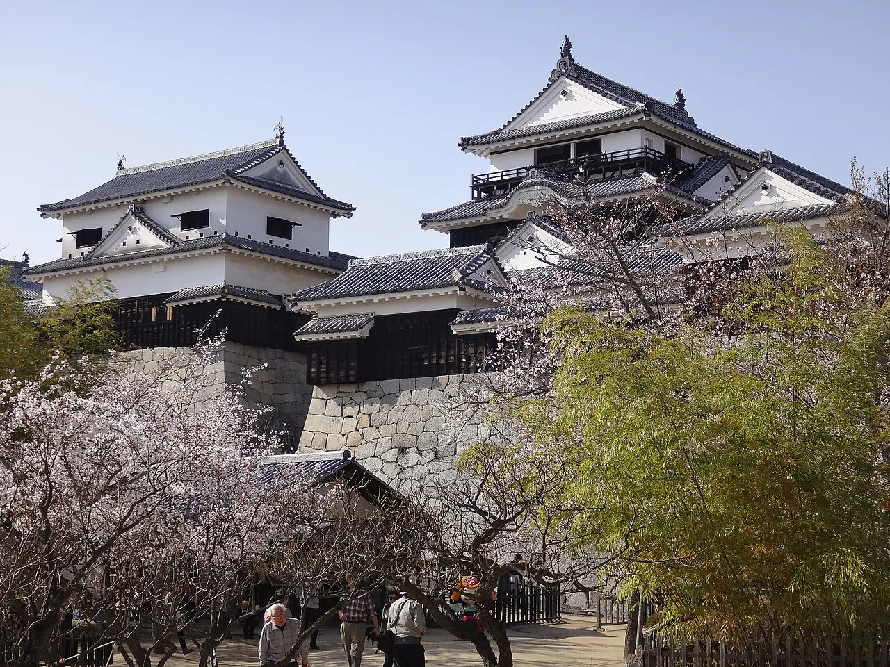
Matsuyama Castle (松山城, Matsuyama-jō) is a "flatland-mountain"-style Japanese castle that was built in 1603 on Mount Katsuyama, in the city of Matsuyama in Ehime Prefecture, Japan. The castle is one of twelve Japanese castles to still have its original tenshu. The castle has been protected as a National Historic Site since 1952. It is also called Iyo-Matsuyama Castle to disambiguate it from Bitchū Matsuyama Castle in Okayama.
Source: Wikipedia · CC BY-SA 4.0
At a glance
- Built
- 1602
- Heritage designation
- Important Cultural Property of Japan, Historic Site of Japan
- Official website
- matsuyamajo.jp
Source: Wikidata
Photos of Matsuyama castle
-

Masoud Akbari · CC BY-SA 3.0 -

Masoud Akbari · CC BY-SA 3.0 -

Masoud Akbari · CC BY-SA 3.0


Climate of Matsuyama castle
Best months for sightseeingBest months for sightseeing: May–June, October.
This month · November
Outside the best season
Day 16° · Night 8° · Rain 79 mm
Better nearby cities in November
- Kochi · 78 km southeast18°
- Ōita · 128 km southwest18°
- Beppu · 133 km southwest17°
- Hottest month
- August (day 31°)
- Coldest month
- January (night 1°)
- Wettest month
- June (263 mm)
- Driest month
- December (48 mm)
Bars: average monthly low and high temperature. Below: precipitation. Monthly averages for 1970–2000 at about 18 km resolution, adjusted for elevation. Highlighted months are mild and relatively dry. Source: WorldClim 2.1 (CC BY 4.0).
Show values as a table
| Month | Jan | Feb | Mar | Apr | May | Jun | Jul | Aug | Sep | Oct | Nov | Dec |
|---|---|---|---|---|---|---|---|---|---|---|---|---|
| Average high (°C) | 9° | 9° | 13° | 18° | 23° | 26° | 30° | 31° | 27° | 22° | 16° | 11° |
| Average low (°C) | 1° | 1° | 4° | 10° | 14° | 19° | 23° | 24° | 20° | 14° | 8° | 3° |
| Precipitation (mm) | 53 | 71 | 107 | 158 | 164 | 263 | 204 | 154 | 199 | 123 | 79 | 48 |
How to get to Matsuyama castle
The nearest airport is Matsuyama Airport (MYJ), 6 km to the west as the crow flies. The nearest large city is Matsuyama, 1 km to the south.
Airports
- Matsuyama Airport (MYJ) Matsuyama 6 kmwest
- Iwakuni Kintaikyo Airport (IWK) Iwakuni 58 kmnorthwest
- Hiroshima Airport (HIJ) Hiroshima 67 kmnorth
Nearby large cities
- Matsuyama Population: 511.2K 1 kmsouth
- Imabari Population: 171K 33 kmnortheast
- Saijō Population: 104.8K 39 kmeast
- Kure Population: 214.6K 47 kmnorthwest
- Niihama Population: 123.1K 52 kmeast
Straight-line distances; road distances are longer. Airport data: OurAirports.
Day trips from Matsuyama castle
Within 100 km: 5 historic and cultural sites, 7 natural sites, 24 lakes, rivers and coasts.
25–60 km18 places
- Ikuchi Jima Island 58 kmNE
- Ōmi Shima Island 50 kmNE
- Ao Island Island 29 kmSW
- Hashira Island Island 38 kmNW
60–100 km18 places
- Shikoku Island 69 kmE
- Itsuku Shima Island 64 kmNW
- Manabe Island Island 94 kmNE
- Shikoku-sammyaku Mountain 62 kmE
Straight-line distances.
Nearest towns and villages
-
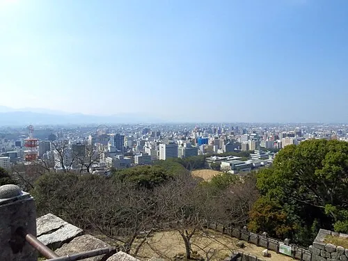 Matsuyama City, Matsuyama-shi0.7 km S
-
Masaki-chō Municipality, Iyo-gun7 km SW
-
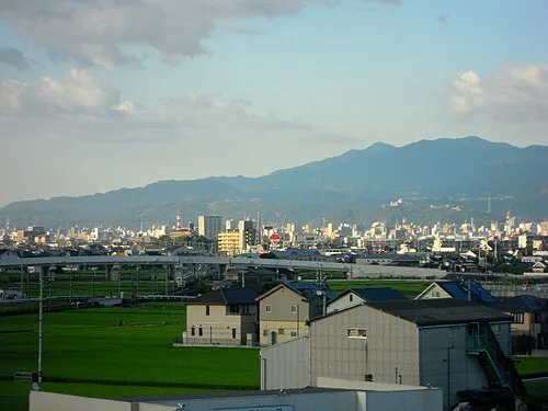 Masaki Town, Masaki-chō8.2 km SW
-
Haramachi Town, Tobe8.6 km S
Sources & licences
Data last updated: · 2 independent sources