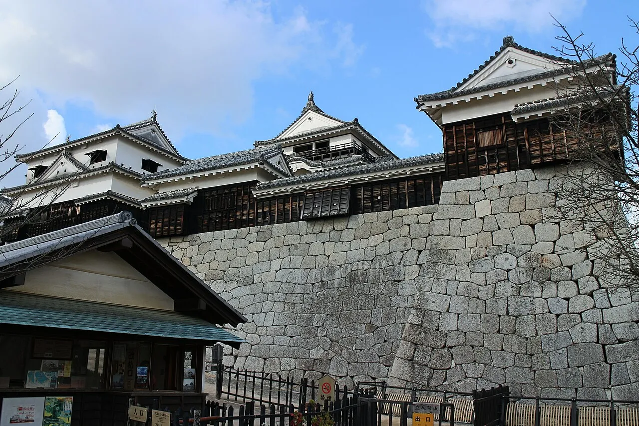
- Population
- 1,342,011
- 1.3M
- Elevation
- 721 m
- above sea level
- Local time
- UTC+09:00
- Asia/Tokyo · UTC+09:00
- Places inside
- 20
- listed under Ehime
- Airports
- MYJ Matsuyama Airport27 km
- KCZ Kochi Ryoma Airport77 km
About Ehime
Ehime is a region. Location: Japan. Population: 1,342,011.
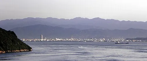
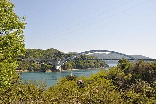
Ehime Prefecture (愛媛県, Ehime-ken; Japanese pronunciation: [é̞.çì.mè̞, è̞.çí.mé̞.kè̞ɴ̀]) is a prefecture of Japan located on the island of Shikoku. Ehime Prefecture has a population of 1,334,841 and a geographic area of 5,676 km2 (2,191 sq mi). Ehime Prefecture borders Kagawa Prefecture to the northeast, Tokushima Prefecture to the east, and Kōchi Prefecture to the southeast. Ehime Prefecture also borders Hiroshima Prefecture for 74 metres (243 ft) on Hyōtanjima.
Read more on Wikipedia Text: Wikipedia contributors · CC BY-SA 4.0 · shortened
Places bordering Ehime
- Tokushima
- Kochi
- Kagawa
- Hiroshima
Twin towns and sister cities of Ehime
- Hawaii· United States
Source: Wikidata. Only places with a page on this site are shown.
Climate of Ehime
Best months for sightseeingBest months for sightseeing: June–September.
Bars: average monthly low and high temperature. Below: precipitation. Monthly averages for 1970–2000 at about 18 km resolution, adjusted for elevation. Highlighted months are mild and relatively dry. Source: WorldClim 2.1 (CC BY 4.0).
Show values as a table
| Month | Jan | Feb | Mar | Apr | May | Jun | Jul | Aug | Sep | Oct | Nov | Dec |
|---|---|---|---|---|---|---|---|---|---|---|---|---|
| Average high (°C) | 5° | 6° | 9° | 15° | 19° | 22° | 26° | 27° | 23° | 18° | 13° | 7° |
| Average low (°C) | -3° | -2° | 1° | 7° | 11° | 16° | 20° | 20° | 17° | 11° | 5° | 0° |
| Precipitation (mm) | 67 | 94 | 145 | 214 | 236 | 348 | 347 | 199 | 262 | 156 | 94 | 66 |
Other places to visit in this season: June July August September
Airports nearest to Ehime
- Matsuyama Airport (MYJ) Matsuyama 27 km
- Kochi Ryoma Airport (KCZ) Nankoku 77 km
- Iwakuni Kintaikyo Airport (IWK) Iwakuni 81 km
Straight-line distance; airports with scheduled flights only. Source: OurAirports (public domain).
Places in Ehime
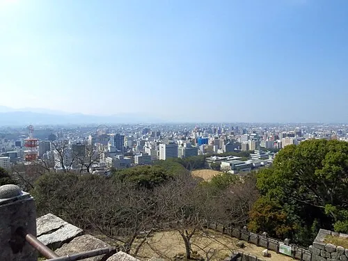
20 places- 1 Matsuyama-shi 518K
- 2 Niihama Shi 124.2K
- 3 Imabari 115.4K
- 4 Saijō Shi 113.8K
- 5 Shikoku-chūō Shi 91.7K
- 6 Uwajima 83.1K
- 7 Ōzu 46.9K
- 8 Seiyo Shi 41.8K
- 9 Iyo-shi 38.8K
- 10 Tōon 34.2K
- 11 Yawatahama-shi 30.8K
Bar: population relative to the most populous place in this list.
-
Iwagi Village
-
Iyo-gun District
-
Kamiukena District
-
Kita District
-
Kitauwa-gun District
-
Minamiuwa-gun District
-
Nishiuwa-gun District
-
Ochi-gun District
-
Ō Shima Island
Largest cities and towns
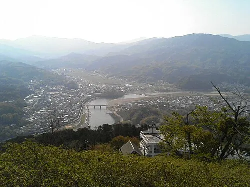
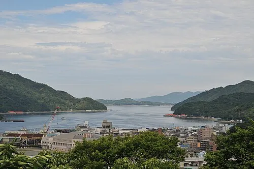
Nature and heritage in Ehime

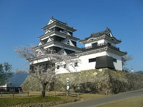
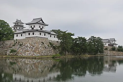
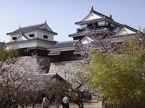

Other regions in Japan
-
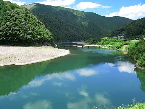 Kochi Region, Japan48 km E
-
Kōchi Shi District, Kochi61 km E
-
Susaki-shi District, Kochi47 km SE
-
Tosa Shi District, Kochi53 km E
-
Shimanto Shi District, Kochi59 km S
-
Tosa-gun District, Kochi59 km E
Sources & licences
Data last updated: · 2 independent sources