- Elevation
- 3 m
- above sea level
- Local time
- UTC+09:00
- Asia/Tokyo · UTC+09:00
- Airports
- HIJ Hiroshima Airport34 km
- MYJ Matsuyama Airport48 km
About Ō Shima
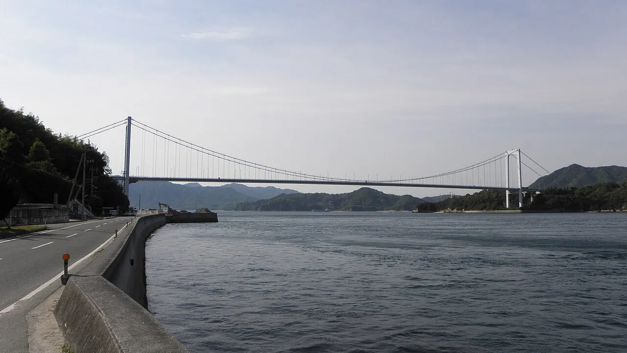
Ō Shima is an island. Location: Ehime, Japan.
Ōshima (大島) is an inhabited island in the Geiyo Islands in the Seto Inland Sea of Japan, lying between the larger islands of Honshū and Shikoku.
Read more on Wikipedia Text: Wikipedia contributors · CC BY-SA 4.0 · shortened
At a glance
- Area
- 41.9 km²
Source: Wikidata
Climate of Ō Shima
Best months for sightseeingBest months for sightseeing: May, October.
Bars: average monthly low and high temperature. Below: precipitation. Monthly averages for 1970–2000 at about 18 km resolution, adjusted for elevation. Highlighted months are mild and relatively dry. Source: WorldClim 2.1 (CC BY 4.0).
Show values as a table
| Month | Jan | Feb | Mar | Apr | May | Jun | Jul | Aug | Sep | Oct | Nov | Dec |
|---|---|---|---|---|---|---|---|---|---|---|---|---|
| Average high (°C) | 10° | 10° | 13° | 19° | 23° | 26° | 30° | 31° | 28° | 23° | 17° | 12° |
| Average low (°C) | 2° | 2° | 5° | 10° | 15° | 19° | 23° | 24° | 21° | 15° | 9° | 4° |
| Precipitation (mm) | 46 | 64 | 98 | 149 | 155 | 249 | 197 | 116 | 198 | 121 | 76 | 42 |
Airports nearest to Ō Shima
- Hiroshima Airport (HIJ) Hiroshima 34 km
- Matsuyama Airport (MYJ) Matsuyama 48 km
- Iwakuni Kintaikyo Airport (IWK) Iwakuni 74 km
Straight-line distance; airports with scheduled flights only. Source: OurAirports (public domain).
Nearest towns and villages
-
Miyakubo Village, Imabari3.7 km NE
-
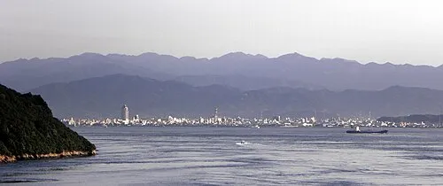 Imabari City, Imabari10 km SW
-
Hakata Village, Imabari7.9 km NE
-
Kamijima Chō Municipality, Ochi-gun17 km NE
-
Ōsakikamijima Municipality, Toyota18 km NW
-
Namikata Village, Imabari9.7 km W
Nearby attractions & nature
Everything nearby-
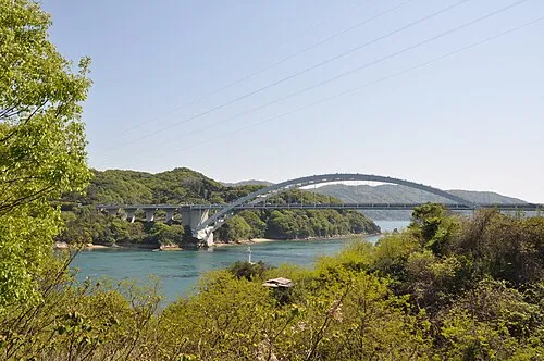 Ōmi Shima Island, Imabari11 km N
-
 Kurushima Island, Japan8.2 km SW
-
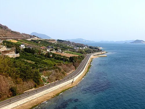 Ikuchi Jima Island, Hiroshima16 km N
-
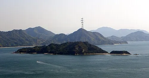 Ōkuno Shima Island, Hiroshima18 km N
-
 Okamura Jima Island, Imabari17 km W
-
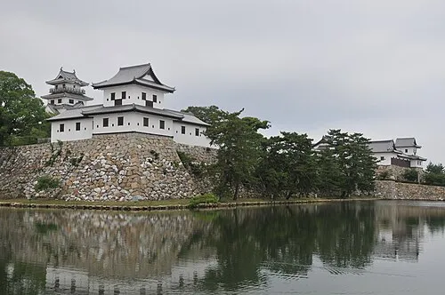 Imabari Castle Historic site, Imabari10 km SW
-
 Tatara Bridge Landmark, Japan12 km N
Sources & licences
Data last updated: · 2 independent sources