
- Local time
- UTC+09:00
- Asia/Tokyo · UTC+09:00
- Airports
- HIJ Hiroshima Airport24 km
- MYJ Matsuyama Airport59 km
About Tatara Bridge
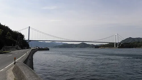
Tatara Bridge is a landmark. Location: Japan.
The Tatara Bridge (多々羅大橋, Tatara Ōhashi) is a cable-stayed bridge that is part of the Nishiseto Expressway, commonly known as the Shimanami Kaidō しまなみ海道. The bridge has a center span of 890 metres (2,920 ft). As of 2010, it has the fourth longest main span of any cable-stayed bridge after the Sutong Bridge. The expressway is a series of roads and bridges that is one of the three routes of the Honshū-Shikoku Bridge Project connecting the islands of Honshū and Shikoku across the Seto Inland Sea in Japan.
Read more on Wikipedia Text: Wikipedia contributors · CC BY-SA 4.0 · shortened
At a glance
- Built
- 1999
- Opened
- 1999
- Height
- 226 m
- Length
- 1.5 km
- Official website
- jb-honshi.co.jp
Source: Wikidata
Climate of Tatara Bridge
Best months for sightseeingBest months for sightseeing: May–June, October.
Bars: average monthly low and high temperature. Below: precipitation. Monthly averages for 1970–2000 at about 18 km resolution, adjusted for elevation. Highlighted months are mild and relatively dry. Source: WorldClim 2.1 (CC BY 4.0).
Show values as a table
| Month | Jan | Feb | Mar | Apr | May | Jun | Jul | Aug | Sep | Oct | Nov | Dec |
|---|---|---|---|---|---|---|---|---|---|---|---|---|
| Average high (°C) | 9° | 9° | 12° | 18° | 22° | 25° | 29° | 31° | 27° | 22° | 17° | 12° |
| Average low (°C) | 2° | 2° | 4° | 9° | 14° | 18° | 23° | 24° | 20° | 14° | 9° | 4° |
| Precipitation (mm) | 44 | 60 | 92 | 140 | 144 | 238 | 191 | 110 | 189 | 113 | 70 | 37 |
Airports nearest to Tatara Bridge
- Hiroshima Airport (HIJ) Hiroshima 24 km
- Matsuyama Airport (MYJ) Matsuyama 59 km
- Iwakuni Kintaikyo Airport (IWK) Iwakuni 76 km
Straight-line distance; airports with scheduled flights only. Source: OurAirports (public domain).
Nearby attractions & nature
Everything nearby-
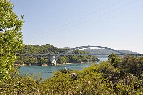 Ōmi Shima Island, Imabari4.6 km W
-
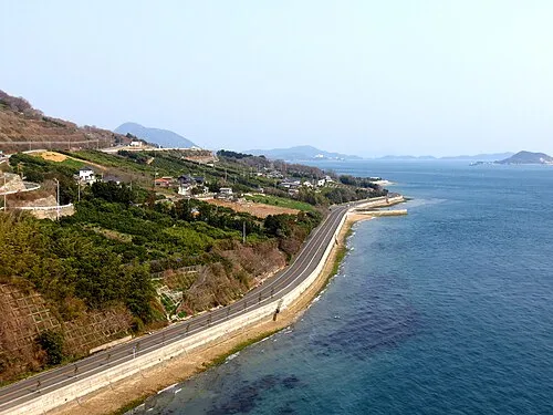 Ikuchi Jima Island, Hiroshima5.1 km NE
-
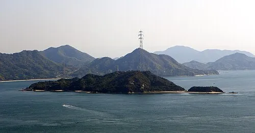 Ōkuno Shima Island, Hiroshima8.5 km NW
-
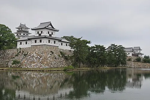 Imabari Castle Historic site, Imabari22 km S
-
 Kurushima Island, Japan18 km SW
-
 Ō Shima Island, Ehime12 km S
-
 Okamura Jima Island, Imabari19 km SW
Nearest towns and villages
-
Kamiura Village, Imabari3.1 km W
-
 Innoshima Town, Onomichi11 km E
-
Kamijima Chō Municipality, Ochi-gun12 km E
-
Hakata Village, Imabari6.6 km SE
More sights in Japan
-
 Carp castle Historic site, Naka-ku58 km W
-
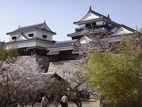 Matsuyama castle Historic site, Matsuyama-shi54 km SW
-
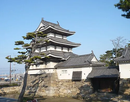 Takamatsu castle Historic site, Takamatsu Shi91 km E
-
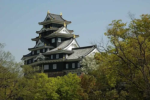 Crow Castle Historic site, Kita-ku92 km NE
-
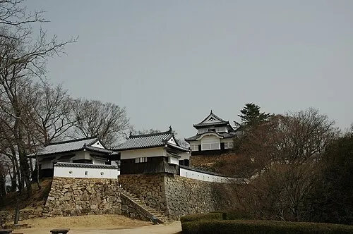 Bitchu Matsuyama castle Historic site, Takahashi Shi80 km NE
-
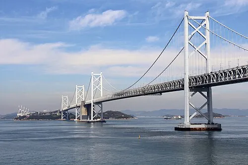 Shimotsui-Seto Bridge Landmark, Japan71 km E
Sources & licences
Data last updated: · 2 independent sources