- Elevation
- 11 m
- above sea level
- Local time
- UTC+09:00
- Asia/Tokyo · UTC+09:00
- Airports
- HIJ Hiroshima Airport35 km
- MYJ Matsuyama Airport40 km
About Namikata
Namikata is a village. Location: Imabari, Ehime. Elevation: 11 m.
Namikata (波方町, Namikata-chō) was a town located in Ochi District, Ehime Prefecture, Japan. As of 2003, the town had an estimated population of 9,794 and a density of 625.02 persons per km2. The total area was 15.67 km2. On January 16, 2005, Namikata, along with the towns of Hakata, Kamiura, Kikuma, Miyakubo, Ōmishima, Ōnishi, Tamagawa and Yoshiumi, and the villages of Asakura and Sekizen (all from Ochi District), was merged into the expanded city of Imabari and no longer exists as an independent municipality.
Read more on Wikipedia Text: Wikipedia contributors · CC BY-SA 4.0 · shortened
At a glance
- Built
- 1960
Source: Wikidata
Climate of Namikata
Best months for sightseeingBest months for sightseeing: May, October.
Bars: average monthly low and high temperature. Below: precipitation. Monthly averages for 1970–2000 at about 18 km resolution, adjusted for elevation. Highlighted months are mild and relatively dry. Source: WorldClim 2.1 (CC BY 4.0).
Show values as a table
| Month | Jan | Feb | Mar | Apr | May | Jun | Jul | Aug | Sep | Oct | Nov | Dec |
|---|---|---|---|---|---|---|---|---|---|---|---|---|
| Average high (°C) | 9° | 10° | 13° | 19° | 23° | 26° | 30° | 32° | 28° | 23° | 17° | 12° |
| Average low (°C) | 2° | 2° | 5° | 10° | 15° | 19° | 24° | 24° | 21° | 14° | 9° | 4° |
| Precipitation (mm) | 48 | 66 | 102 | 153 | 159 | 257 | 203 | 133 | 200 | 123 | 78 | 44 |
Airports nearest to Namikata
- Hiroshima Airport (HIJ) Hiroshima 35 km
- Matsuyama Airport (MYJ) Matsuyama 40 km
- Iwakuni Kintaikyo Airport (IWK) Iwakuni 65 km
Straight-line distance; airports with scheduled flights only. Source: OurAirports (public domain).
Nearby attractions & nature
Everything nearby-
 Kurushima Island, Japan1.7 km E
-
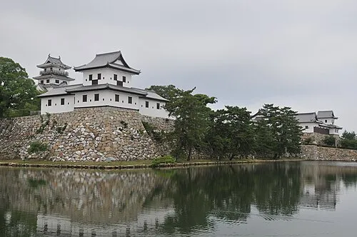 Imabari Castle Historic site, Imabari8.1 km SE
-
 Okamura Jima Island, Imabari10 km NW
-
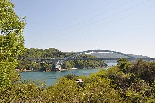 Ōmi Shima Island, Imabari16 km NE
-
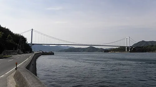 Ō Shima Island, Ehime9.7 km E
-
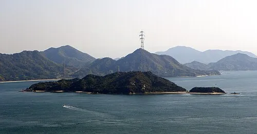 Ōkuno Shima Island, Hiroshima21 km N
Sources & licences
Data last updated: · 2 independent sources