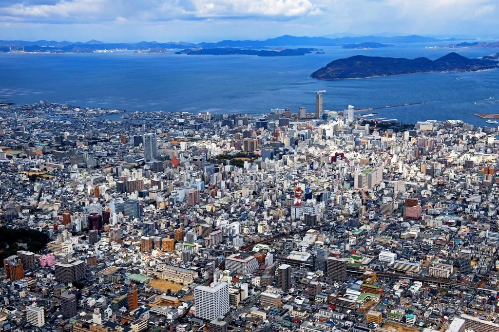
- Population
- 949,358
- 949.4K
- Elevation
- 61 m
- above sea level
- Local time
- UTC+09:00
- Asia/Tokyo · UTC+09:00
- Places inside
- 21
- listed under Kagawa
- Airports
- TAK Takamatsu Airport4 km
- TKS Tokushima Awaodori Airport / JMSDF Tokushima Air Base58 km
About Kagawa
Kagawa is a region. Location: Japan. Population: 949,358.
Kagawa Prefecture (香川県, Kagawa-ken; Japanese pronunciation: [kä́.ɡä̀.β̞ä̀, -ŋä̀.β̞ä̀, kä̀.ɡä́.β̞ä́.kè̞ɴ̀, -ŋä́.β̞ä́-]) is a prefecture of Japan located on the island of Shikoku. Kagawa Prefecture has a population of 949,358 (as of 2020) and is the smallest prefecture by geographic area at 1,877 square kilometres (725 sq mi). Kagawa Prefecture borders Ehime Prefecture to the southwest and Tokushima Prefecture to the south.
Read more on Wikipedia Text: Wikipedia contributors · CC BY-SA 4.0 · shortened
Places bordering Kagawa
Climate of Kagawa
Best months for sightseeingBest months for sightseeing: May–June, October.
Bars: average monthly low and high temperature. Below: precipitation. Monthly averages for 1970–2000 at about 18 km resolution, adjusted for elevation. Highlighted months are mild and relatively dry. Source: WorldClim 2.1 (CC BY 4.0).
Show values as a table
| Month | Jan | Feb | Mar | Apr | May | Jun | Jul | Aug | Sep | Oct | Nov | Dec |
|---|---|---|---|---|---|---|---|---|---|---|---|---|
| Average high (°C) | 8° | 9° | 13° | 18° | 23° | 26° | 30° | 31° | 27° | 22° | 16° | 11° |
| Average low (°C) | 1° | 1° | 4° | 9° | 14° | 19° | 23° | 24° | 20° | 13° | 8° | 3° |
| Precipitation (mm) | 44 | 58 | 93 | 151 | 160 | 246 | 208 | 125 | 239 | 124 | 78 | 36 |
Airports nearest to Kagawa
- Takamatsu Airport (TAK) Takamatsu 4 km
- Tokushima Awaodori Airport / JMSDF Tokushima Air Base (TKS) Tokushima 58 km
- Okayama Momotaro Airport (OKJ) Okayama 58 km
Straight-line distance; airports with scheduled flights only. Source: OurAirports (public domain).
Places in Kagawa
21 places- 1 Takamatsu Shi 429.4K
- 2 Marugame Shi 113.4K
- 3 Mitoyo Shi 69.4K
- 4 Kan’onji Shi 63.1K
- 5 Sakaide Shi 55.9K
- 6 Sanuki-shi 52K
- 7 Nakatado-gun 48.6K
- 8 Ayauta-gun 41.6K
- 9 Higashikagawa Shi 33.6K
- 10 Zentsūji Shi 33.2K
- 11 Kita 26.9K
- 12 Nao Shima 4.1K
- 13 Kagawa 3K
- 14 Shiwaku Islands 2.3K
- 15 Te Shima 1K
- 16 Ogi Shima 202
- 17 Megi Shima 200
Bar: population relative to the most populous place in this list.
-
Doki River River
-
Mukai Jima Island
-
Shōzu-gun District
-
Yashima Natural site
Largest cities and towns
-
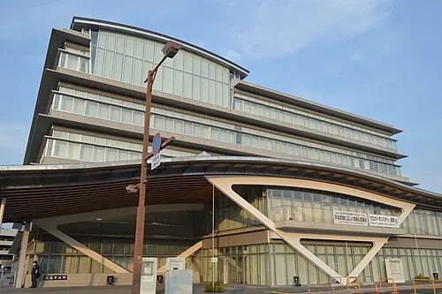 Marugame City, Marugame Shi109.5K
-
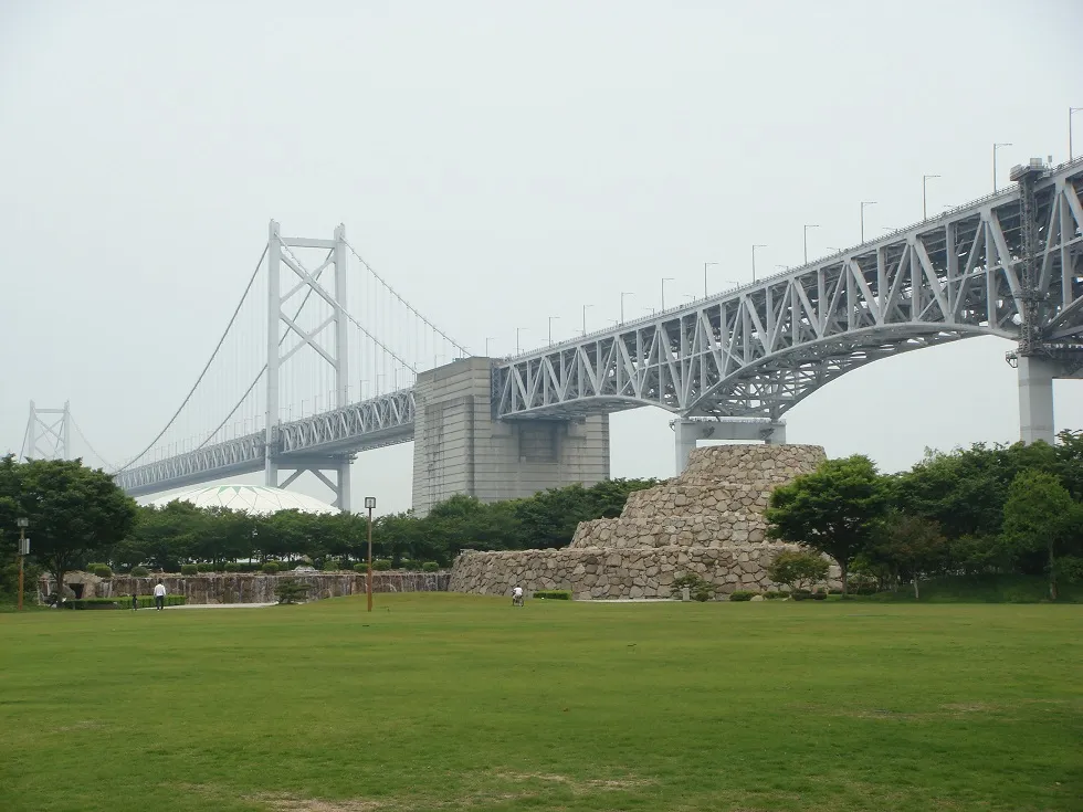 Sakaidechō City, Sakaide Shi57.1K
-
Tadotsu-chō Municipality, Nakatado-gun23.8K
-
Takamatsu City, Takamatsu Shi419K
-
Miki Chō Municipality, Kita29K
-
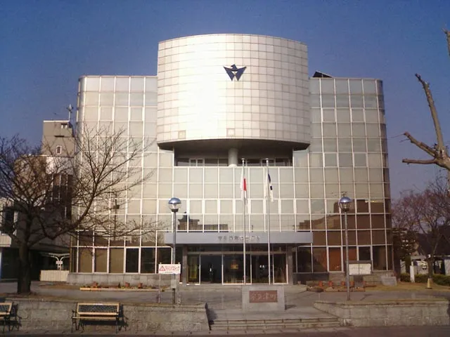 Utazu Town, Marugame Shi18.7K
-
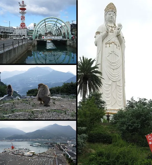 Tonoshō Town, Tonosho-cho12.9K
-
Shōdoshima Chō Municipality, Shōzu-gun16K
Nature and heritage in Kagawa
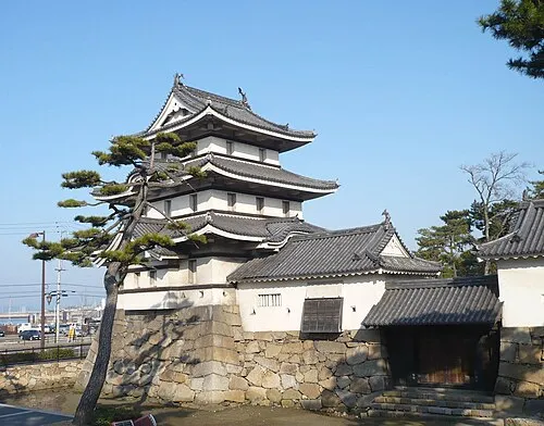

Other regions in Japan
-
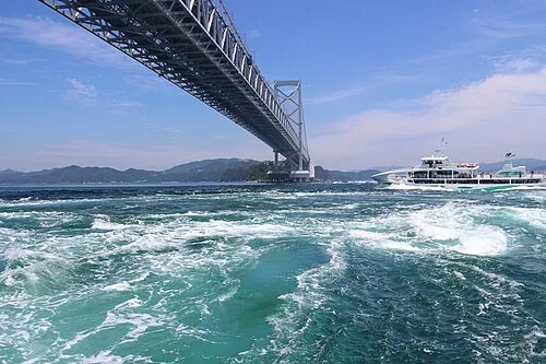 Tokushima Region, Japan42 km SE
-
Mima Shi District, Tokushima29 km SE
-
Awa-shi District, Tokushima29 km SE
-
Yoshinogawa Shi District, Tokushima35 km SE
-
Okayama Shi District, Okayama52 km N
-
Miyoshi Shi District, Tokushima37 km S
Sources & licences
Data last updated: · 2 independent sources