- Elevation
- 178 m
- above sea level
- Local time
- UTC+09:00
- Asia/Tokyo · UTC+09:00
- Population
- 1,000
- 1K
- Airports
- TAK Takamatsu Airport30 km
- OKJ Okayama Momotaro Airport37 km
About Te Shima
Te Shima is an island. Location: Kagawa, Japan. Population: 1,000.
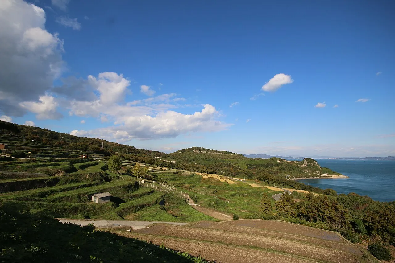
Teshima (豊島) is an island located in the inland sea of Japan, between Naoshima and Shōdoshima islands, and is part of Kagawa Prefecture. It has an area of 14.5 square kilometres (5.6 square miles) and a population of about 1,000 people.
Read more on Wikipedia Text: Wikipedia contributors · CC BY-SA 4.0 · shortened
At a glance
- Area
- 14.5 km²
Source: Wikidata
Climate of Te Shima
Best months for sightseeingBest months for sightseeing: May–June, September–October.
Bars: average monthly low and high temperature. Below: precipitation. Monthly averages for 1970–2000 at about 18 km resolution, adjusted for elevation. Highlighted months are mild and relatively dry. Source: WorldClim 2.1 (CC BY 4.0).
Show values as a table
| Month | Jan | Feb | Mar | Apr | May | Jun | Jul | Aug | Sep | Oct | Nov | Dec |
|---|---|---|---|---|---|---|---|---|---|---|---|---|
| Average high (°C) | 8° | 8° | 11° | 17° | 21° | 24° | 28° | 30° | 26° | 21° | 15° | 10° |
| Average low (°C) | 0° | 0° | 3° | 8° | 13° | 17° | 22° | 23° | 19° | 13° | 8° | 3° |
| Precipitation (mm) | 39 | 54 | 88 | 142 | 148 | 228 | 188 | 118 | 235 | 117 | 75 | 31 |
Other places to visit in this season: May June September October
Airports nearest to Te Shima
- Takamatsu Airport (TAK) Takamatsu 30 km
- Okayama Momotaro Airport (OKJ) Okayama 37 km
- Tokushima Awaodori Airport / JMSDF Tokushima Air Base (TKS) Tokushima 62 km
Straight-line distance; airports with scheduled flights only. Source: OurAirports (public domain).
Nearest towns and villages
-
Naoshima Chō Municipality, Kagawa8.1 km W
-
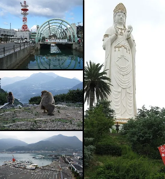 Tonoshō Town, Tonosho-cho8.8 km E
-
Tonosho-cho Municipality, Shōzu-gun12 km E
-
Tamano City, Tamano Shi13 km W
-
Takamatsu City, Takamatsu Shi16 km S
-
MInami-ku Municipality, Okayama Shi19 km NW
Nearby attractions & nature
Everything nearby-
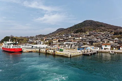 Ogi Shima Island, Kagawa6 km S
-
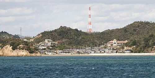 Nao Shima Island, Kagawa8.7 km W
-
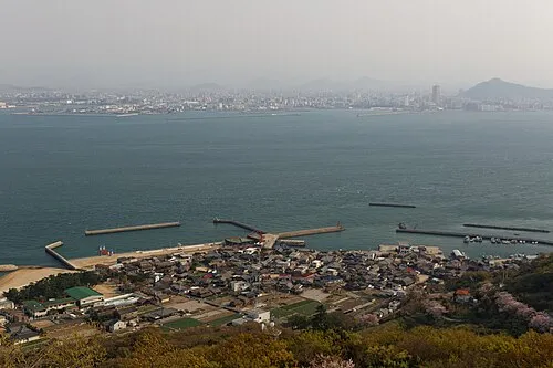 Megi Shima Island, Kagawa9.6 km S
-
Inujima Island, Okayama9.7 km N
-
Yashima Natural site, Kagawa13 km S
-
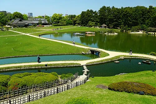 Kōrakuen Natural site, Kita-ku24 km NW
-
 Shōdo Island Island, Shōdoshima Chō18 km E
-
Yoshii River River, Okayama14 km N
More lakes, rivers and coasts in Japan
-
 Shiwaku Islands Island, Kagawa35 km W
-
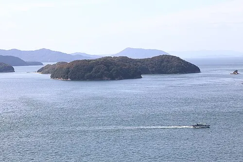 Mukai Jima Island, Kagawa28 km W
-
Doki River River, Kagawa32 km SW
Sources & licences
Data last updated: · 2 independent sources