- Local time
- UTC+09:00
- Asia/Tokyo · UTC+09:00
- Airports
- TAK Takamatsu Airport22 km
- OKJ Okayama Momotaro Airport50 km
About Doki River
Doki River is a river. Location: Kagawa, Japan.
The Doki River (土器川 Dokigawa) is a Japanese stream that begins in the town of Mannō (Kagawa Prefecture, Nakatado District) within the Sanuki Mountains and ends in the city of Marugame. The Doki river is 33 km (21 mi) long and the catchment area is 127 km2 (49 sq mi); the population of the catchment is about 39,000. In the 20th and 21st centuries, devastating floods occurred in 1912, 1954, 1976, 1990 and 2004. The 1954 flood caused the death of 1 and 2,180 were injured.
Read more on Wikipedia Text: Wikipedia contributors · CC BY-SA 4.0 · shortened
At a glance
- Length
- 33 km
Source: Wikidata
Climate of Doki River
Best months for sightseeingBest months for sightseeing: May–June, October.
Bars: average monthly low and high temperature. Below: precipitation. Monthly averages for 1970–2000 at about 18 km resolution, adjusted for elevation. Highlighted months are mild and relatively dry. Source: WorldClim 2.1 (CC BY 4.0).
Show values as a table
| Month | Jan | Feb | Mar | Apr | May | Jun | Jul | Aug | Sep | Oct | Nov | Dec |
|---|---|---|---|---|---|---|---|---|---|---|---|---|
| Average high (°C) | 9° | 9° | 13° | 18° | 23° | 26° | 30° | 31° | 27° | 22° | 16° | 11° |
| Average low (°C) | 1° | 1° | 4° | 9° | 14° | 19° | 23° | 24° | 20° | 13° | 8° | 3° |
| Precipitation (mm) | 43 | 58 | 92 | 150 | 158 | 243 | 207 | 113 | 228 | 122 | 76 | 37 |
Airports nearest to Doki River
- Takamatsu Airport (TAK) Takamatsu 22 km
- Okayama Momotaro Airport (OKJ) Okayama 50 km
- Tokushima Awaodori Airport / JMSDF Tokushima Air Base (TKS) Tokushima 77 km
Straight-line distance; airports with scheduled flights only. Source: OurAirports (public domain).
Nearest towns and villages
-
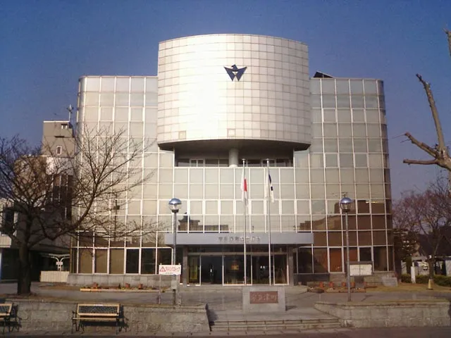 Utazu Town, Marugame Shi1.9 km SE
-
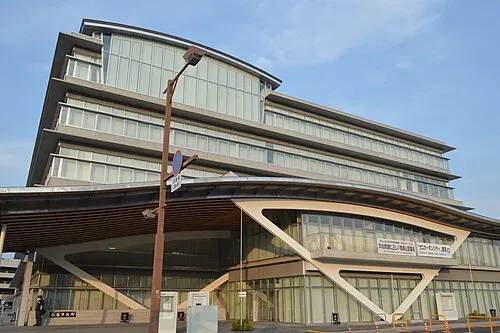 Marugame City, Marugame Shi2.9 km SW
-
 Sakaidechō City, Sakaide Shi3.9 km NE
-
Utazu Chō Municipality, Ayauta-gun2.7 km E
-
Tadotsu-chō Municipality, Nakatado-gun6.3 km SW
-
Tadotsu Town, Tadotsu-chō5.7 km SW
Nearby attractions & nature
Everything nearby-
 Shiwaku Islands Island, Kagawa11 km NW
-
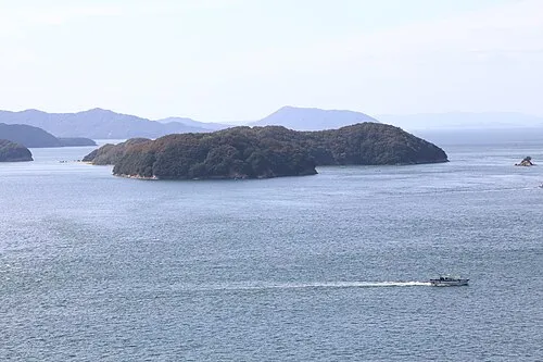 Mukai Jima Island, Kagawa11 km N
-
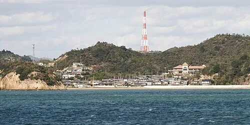 Nao Shima Island, Kagawa24 km NE
-
 Manabe Island Island, Kasaoka Shi21 km W
-
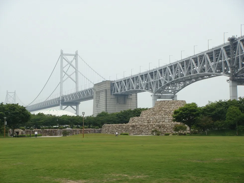
Great Seto Bridge Landmark, Japan11 km N
-
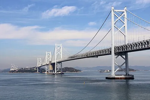 Shimotsui-Seto Bridge Landmark, Japan14 km N
-
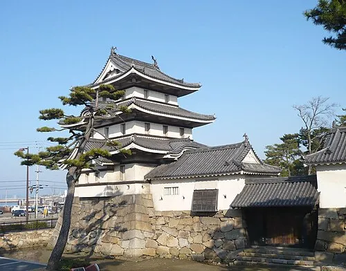 Takamatsu castle Historic site, Takamatsu Shi24 km E
More lakes, rivers and coasts in Japan
-
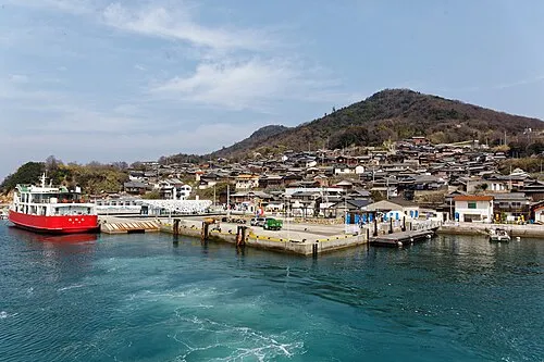 Ogi Shima Island, Kagawa28 km NE
-
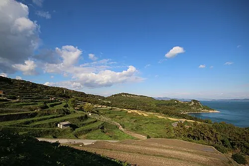 Te Shima Island, Kagawa32 km NE
-
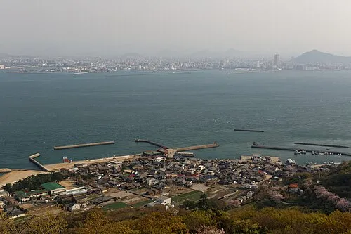 Megi Shima Island, Kagawa25 km NE
-
 Shōdo Island Island, Shōdoshima Chō48 km NE
Sources & licences
Data last updated: · 2 independent sources