
- Local time
- UTC+09:00
- Asia/Tokyo · UTC+09:00
- Population
- 312
- 312
- Airports
- TAK Takamatsu Airport43 km
- OKJ Okayama Momotaro Airport51 km
About Manabe Island
Manabe Island is an island. Location: Kasaoka Shi, Okayama. Population: 312.
Manabeshima (真鍋島, Manabe-shima) is an island in the Seto Inland Sea, part of the municipality of Kasaoka, Okayama Prefecture, Japan. The island has an area of 1.49 square kilometers (0.57 square miles) and is one of the seven inhabited islands of the Kasaoka Islands group. The island's main commercial activity is fishing.
Source: Wikipedia · CC BY-SA 4.0
At a glance
- Heritage designation
- furusatomura
- Area
- 1.5 km²
Source: Wikidata
Photos of Manabe Island
-

ブルーノ・プラス · CC BY-SA 4.0 -

ブルーノ・プラス · CC BY-SA 4.0 -
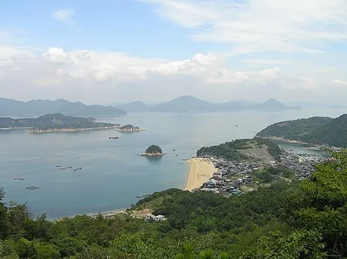
Shiraishi Island Prue Simmons · CC BY 2.0


Climate of Manabe Island
Best months for sightseeingBest months for sightseeing: May–June, October.
This month · November
Outside the best season
Day 16° · Night 8° · Rain 65 mm
Better nearby cities in November
- Kochi · 90 km south18°
- Ōita · 222 km southwest18°
- Beppu · 227 km southwest17°
- Hottest month
- August (day 31°)
- Coldest month
- January (night 1°)
- Wettest month
- June (219 mm)
- Driest month
- December (31 mm)
Bars: average monthly low and high temperature. Below: precipitation. Monthly averages for 1970–2000 at about 18 km resolution, adjusted for elevation. Highlighted months are mild and relatively dry. Source: WorldClim 2.1 (CC BY 4.0).
Show values as a table
| Month | Jan | Feb | Mar | Apr | May | Jun | Jul | Aug | Sep | Oct | Nov | Dec |
|---|---|---|---|---|---|---|---|---|---|---|---|---|
| Average high (°C) | 9° | 9° | 12° | 17° | 22° | 25° | 30° | 31° | 27° | 22° | 16° | 11° |
| Average low (°C) | 1° | 1° | 3° | 9° | 13° | 18° | 23° | 23° | 20° | 14° | 8° | 3° |
| Precipitation (mm) | 38 | 54 | 84 | 133 | 139 | 219 | 188 | 98 | 194 | 108 | 65 | 31 |
How to get to Manabe Island
The nearest airport is Takamatsu Airport (TAK), 43 km to the east as the crow flies. The nearest large city is Marugame, 20 km to the southeast.
Airports
- Takamatsu Airport (TAK) Takamatsu 43 kmeast
- Okayama Momotaro Airport (OKJ) Okayama 51 kmnortheast
- Hiroshima Airport (HIJ) Hiroshima 62 kmwest
Nearby large cities
- Marugame Population: 109.5K 20 kmsoutheast
- Fukuyama Population: 468.8K 24 kmnorthwest
- Kurashiki Population: 483.6K 30 kmnortheast
- Onomichi Population: 131.2K 36 kmwest
- Takamatsu Population: 419K 43 kmeast
Straight-line distances; road distances are longer. Airport data: OurAirports.
Day trips from Manabe Island
Within 100 km: 11 historic and cultural sites, 11 natural sites, 27 lakes, rivers and coasts.
0–25 km8 places
- Shiwaku Islands Island 13 kmE
- Takahashi River River 22 kmNE
- Shiraishi Island Island 8 kmNW
- Ashida River River 19 kmNW
25–60 km20 places
- Ikuchi Jima Island 44 kmW
- Ōmi Shima Island 53 kmW
- Nao Shima Island 39 kmE
- Te Shima Island 47 kmE
60–100 km21 places
- Shikoku Island 68 kmS
- Ieshima Shotō Island 91 kmE
- Ako Castle Historic site 86 kmNE
- Mount Hiba Mountain 90 kmNW
Straight-line distances.
Nearest towns and villages
-
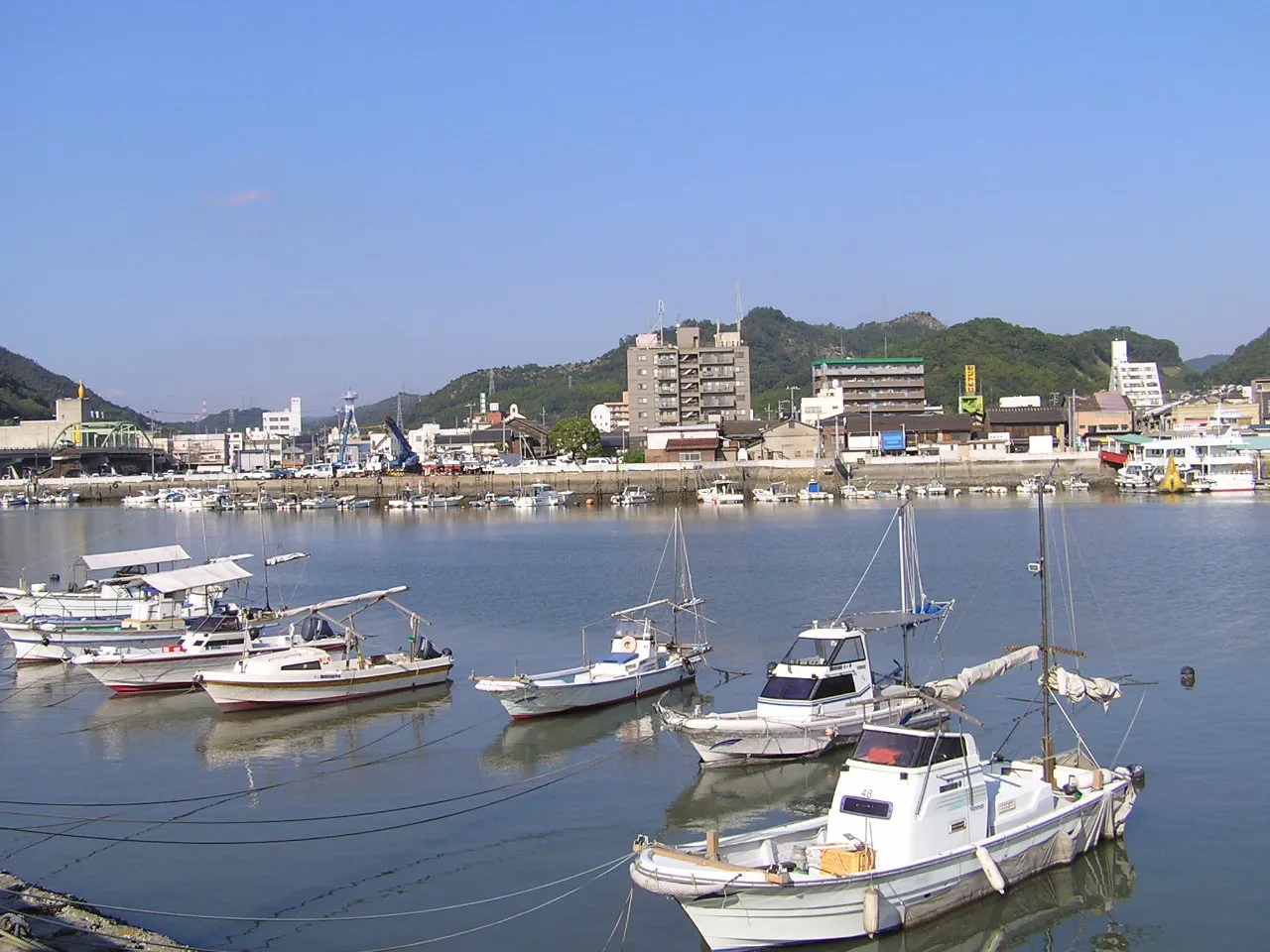 Kasaoka City, Kasaoka Shi18 km NW
-
Tadotsu-chō Municipality, Nakatado-gun18 km SE
-
Satoshō Chō Municipality, Asakuchi-gun18 km N
-
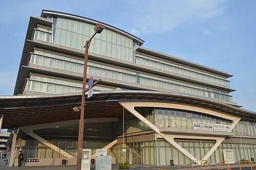 Marugame City, Marugame Shi20 km SE
-
Mitoyo City, Mitoyo Shi18 km SE
-
Kamogatachō-kamogata Town, Asakuchi Shi20 km N
Nearby attractions & nature
Everything nearby-
Shiraishi Island Island, Okayama8 km NW
-
 Shiwaku Islands Island, Kagawa13 km E
-
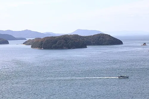 Mukai Jima Island, Kagawa19 km E
-
Ashida River River, Hiroshima19 km NW
-
Doki River River, Kagawa21 km E
-
Takahashi River River, Okayama22 km NE
-
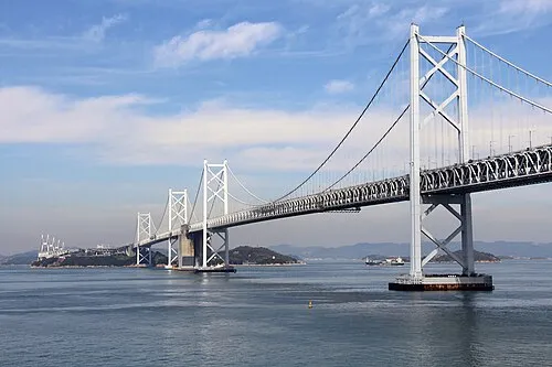 Shimotsui-Seto Bridge Landmark, Japan22 km E
-
Great Seto Bridge Landmark, Japan22 km E
Sources & licences
Data last updated: · 2 independent sources