- Elevation
- 25 m
- above sea level
- Local time
- UTC+09:00
- Asia/Tokyo · UTC+09:00
- Airports
- OKJ Okayama Momotaro Airport50 km
- TAK Takamatsu Airport51 km
About Shiraishi Island
Shiraishi Island is an island. Location: Okayama, Japan.
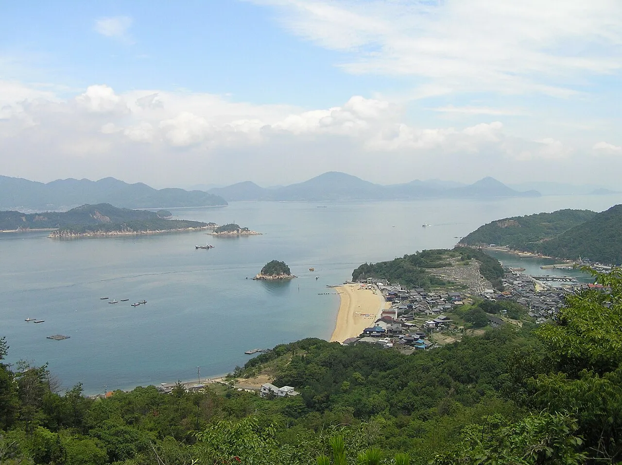
Shiraishi Island (白石島, Shiraishi-jima) is an island in the Inland Sea of Japan and is considered part of the municipality of Kasaoka, Okayama Prefecture. It is one of six inhabited islands in the Kasaoka Islands, a chain of islands most easily reached from the port city of Kasaoka on Japan's main island, Honshū.
Source: Wikipedia · CC BY-SA 4.0
At a glance
- Heritage designation
- Place of Scenic Beauty
Source: Wikidata
Photos of Shiraishi Island
-

Asturio Cantabrio · CC BY-SA 4.0 -

Asturio Cantabrio · CC BY-SA 4.0 -

ブルーノ・プラス · CC BY-SA 4.0 -

ブルーノ・プラス · CC BY-SA 4.0 -

Prue Simmons · CC BY 2.0


Travel notes for Shiraishi Island
From Wikivoyage
Shiraishi Island (白石島 Shiraishijima) is an island in the Seto Inland Sea. Administratively, it is part of Kasaoka in Okayama Prefecture.
Understand+
Shiraishi is a quiet island of roughly 350 inhabitants (as of 2026). It is mostly visited for its summer activities: swimming, sea kayaking, windsurfing, and lounging on the beach. The vast majority of visitors come on weekends in July and August. The island's Bon dance, commemorating a bloody battle centuries ago, is well-known and attracts a large crowd each August.
The island also has its own miniature version of the 88 Temple Pilgrimage.
Since the 1990s, the Okayama prefectural government has specifically encouraged foreign tourism on Shiraishi Island. They help maintain the Shiraishi Island International Villa, a guesthouse specifically targeted at foreign visitors.
Tourist Information Site:
The island has its own multilingual guide site.
Get in+
Most travelers will arrive by direct ferry from Kasaoka, which is easily accessible by JR train; it is also possible to come from Shikoku if you are willing to travel on Saturdays and change ferries a few times.
There are two ferry companies serving the route from Kasaoka to Shiraishi. The more useful of the two is operated by Sanyo Kisen (三洋汽船), and departs most frequently. The path from the train station to the Sanyo Kisen ferry terminal is well signed in English and takes less than ten minutes to walk.
Although this ferry does not carry cars, free parking is available in the summer months near their terminal. There is generally no reason to take a car to Shiraishi; the island can be walked from end to end in an hour or less.
The Sanyo Kisen ferry timetable is also available in English from the official website.
Sanyo Kisen also operates a car ferry, but it leaves from a different port.
Source: Wikivoyage · CC BY-SA 4.0 · abridged
Climate of Shiraishi Island
Best months for sightseeingBest months for sightseeing: May–June, October.
This month · November
Outside the best season
Day 16° · Night 8° · Rain 65 mm
Better nearby cities in November
- Kochi · 95 km south18°
- Ōita · 220 km southwest18°
- Beppu · 224 km southwest17°
- Hottest month
- August (day 31°)
- Coldest month
- January (night 1°)
- Wettest month
- June (219 mm)
- Driest month
- December (31 mm)
Bars: average monthly low and high temperature. Below: precipitation. Monthly averages for 1970–2000 at about 18 km resolution, adjusted for elevation. Highlighted months are mild and relatively dry. Source: WorldClim 2.1 (CC BY 4.0).
Show values as a table
| Month | Jan | Feb | Mar | Apr | May | Jun | Jul | Aug | Sep | Oct | Nov | Dec |
|---|---|---|---|---|---|---|---|---|---|---|---|---|
| Average high (°C) | 9° | 9° | 12° | 18° | 22° | 26° | 30° | 31° | 27° | 22° | 16° | 11° |
| Average low (°C) | 1° | 1° | 4° | 9° | 14° | 18° | 23° | 24° | 20° | 14° | 8° | 3° |
| Precipitation (mm) | 38 | 54 | 84 | 133 | 139 | 219 | 188 | 98 | 194 | 108 | 65 | 31 |
How to get to Shiraishi Island
The nearest airport is Okayama Momotaro Airport (OKJ), 50 km to the northeast as the crow flies. The nearest large city is Fukuyama, 16 km to the northwest.
Airports
- Okayama Momotaro Airport (OKJ) Okayama 50 kmnortheast
- Takamatsu Airport (TAK) Takamatsu 51 kmsoutheast
- Hiroshima Airport (HIJ) Hiroshima 55 kmwest
Nearby large cities
- Fukuyama Population: 468.8K 16 kmnorthwest
- Marugame Population: 109.5K 28 kmsoutheast
- Onomichi Population: 131.2K 29 kmwest
- Kurashiki Population: 483.6K 31 kmnortheast
- Takamatsu Population: 419K 50 kmeast
Straight-line distances; road distances are longer. Airport data: OurAirports.
Day trips from Shiraishi Island
Within 100 km: 11 historic and cultural sites, 11 natural sites, 28 lakes, rivers and coasts.
0–25 km5 places
- Shiwaku Islands Island 19 kmE
- Manabe Island Island 8 kmSE
- Ashida River River 11 kmW
- Mukai Jima Island 25 kmE
25–60 km23 places
- Ikuchi Jima Island 40 kmW
- Ōmi Shima Island 49 kmW
- Nao Shima Island 43 kmE
- Te Shima Island 52 kmE
60–100 km22 places
- Shikoku Island 72 kmS
- Mount Hiba Mountain 83 kmNW
- Mount Sentsū Mountain 89 kmN
- Ieshima Shotō Island 95 kmE
Straight-line distances.
Nearest towns and villages
-
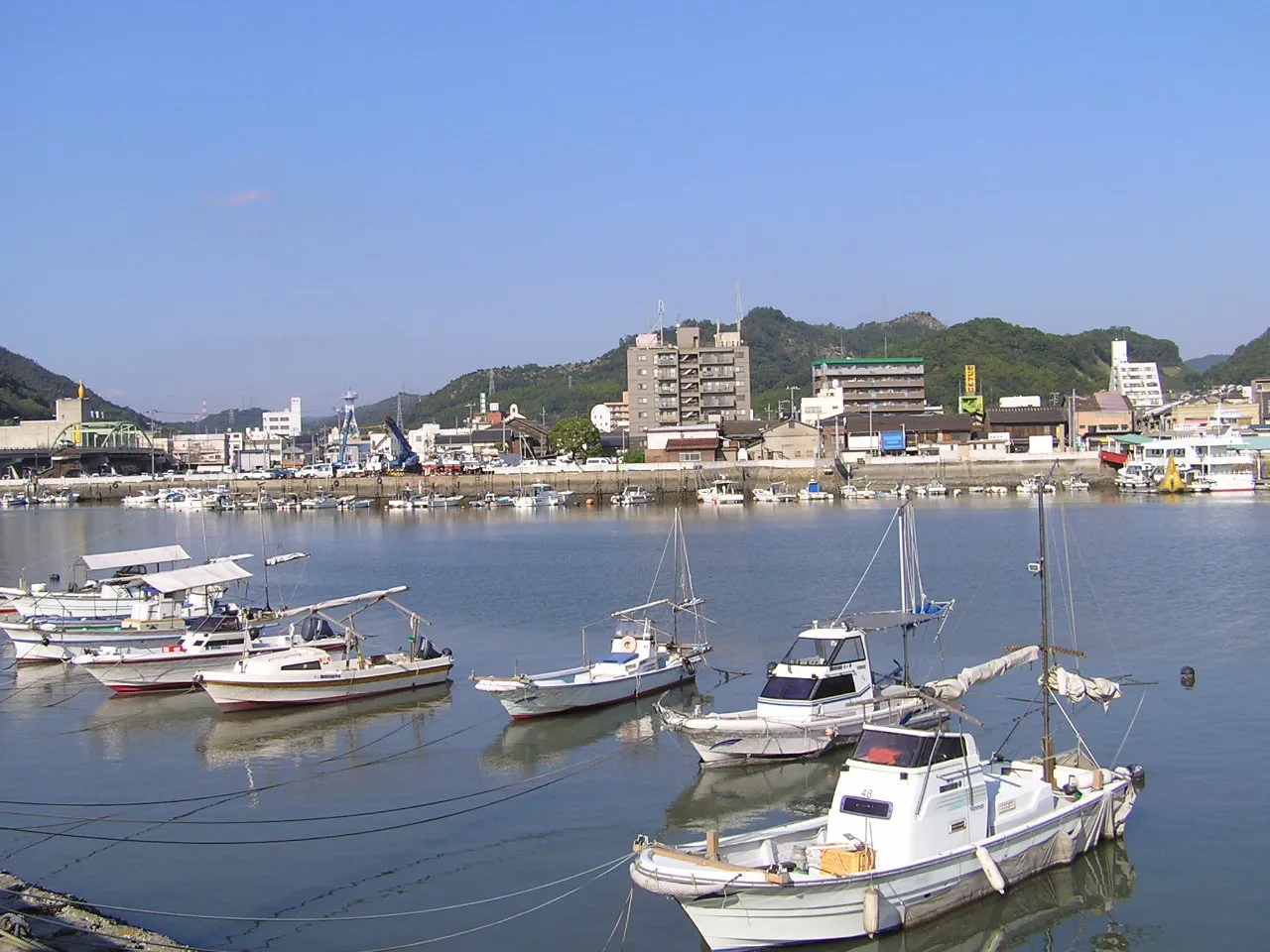 Kasaoka City, Kasaoka Shi12 km N
-
Satoshō Chō Municipality, Asakuchi-gun13 km N
-
 Fukuyama City, Fukuyama Shi16 km NW
-
Kamogatachō-kamogata Town, Asakuchi Shi17 km NE
-
Asakuchi City, Asakuchi Shi17 km NE
-
Kannabechō-yahiro Town, Fukuyama Shi19 km NW
Nearby attractions & nature
Everything nearby-
 Manabe Island Island, Kasaoka Shi8 km SE
-
Ashida River River, Hiroshima11 km W
-
 Shiwaku Islands Island, Kagawa19 km E
-
 Mukai Jima Island, Kagawa25 km E
-
Takahashi River River, Okayama22 km NE
Sources & licences
Data last updated: · 2 independent sources