- Elevation
- 0 m
- above sea level
- Local time
- UTC+09:00
- Asia/Tokyo · UTC+09:00
- Airports
- HIJ Hiroshima Airport44 km
- OKJ Okayama Momotaro Airport54 km
About Ashida River
Ashida River is a river. Location: Hiroshima, Japan.
The Ashida River (芦田川, Ashida-gawa) is a river that flows through the eastern part of Hiroshima Prefecture, Japan. The river provides the primary drainage for the Bingo region. The source of the river is in the city of Mihara, Hiroshima and flows generally east toward Niimi, Okayama. After flowing through the Hattabara and Mikawa Dams in Fuchū, Hiroshima, the river passes through Fukuyama, Hiroshima, where it empties into the Seto Inland Sea.
Read more on Wikipedia Text: Wikipedia contributors · CC BY-SA 4.0 · shortened
At a glance
- Length
- 86 km
Source: Wikidata
Climate of Ashida River
Best months for sightseeingBest months for sightseeing: May, October.
Bars: average monthly low and high temperature. Below: precipitation. Monthly averages for 1970–2000 at about 18 km resolution, adjusted for elevation. Highlighted months are mild and relatively dry. Source: WorldClim 2.1 (CC BY 4.0).
Show values as a table
| Month | Jan | Feb | Mar | Apr | May | Jun | Jul | Aug | Sep | Oct | Nov | Dec |
|---|---|---|---|---|---|---|---|---|---|---|---|---|
| Average high (°C) | 9° | 10° | 13° | 19° | 23° | 27° | 31° | 32° | 28° | 23° | 17° | 12° |
| Average low (°C) | 1° | 1° | 4° | 9° | 14° | 19° | 23° | 24° | 20° | 14° | 8° | 3° |
| Precipitation (mm) | 39 | 54 | 83 | 129 | 134 | 220 | 190 | 100 | 186 | 106 | 64 | 32 |
Airports nearest to Ashida River
- Hiroshima Airport (HIJ) Hiroshima 44 km
- Okayama Momotaro Airport (OKJ) Okayama 54 km
- Takamatsu Airport (TAK) Takamatsu 62 km
Straight-line distance; airports with scheduled flights only. Source: OurAirports (public domain).
Nearest towns and villages
-
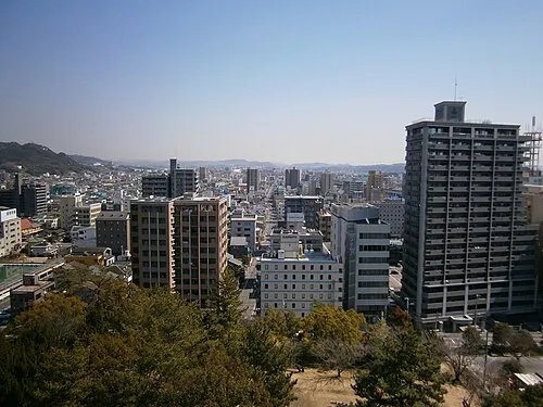 Fukuyama City, Fukuyama Shi5.8 km NW
-
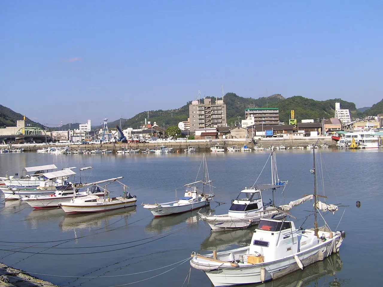 Kasaoka City, Kasaoka Shi12 km NE
-
Kannabechō-yahiro Town, Fukuyama Shi13 km N
-
Satoshō Chō Municipality, Asakuchi-gun16 km NE
-
Shin’ichi Town, Fukuyama Shi17 km NW
-
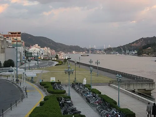 Onomichi City, Onomichi19 km W
Nearby attractions & nature
Everything nearby-
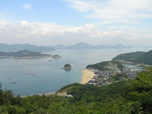 Shiraishi Island Island, Okayama11 km E
-
 Manabe Island Island, Kasaoka Shi19 km SE
More lakes, rivers and coasts in Japan
-
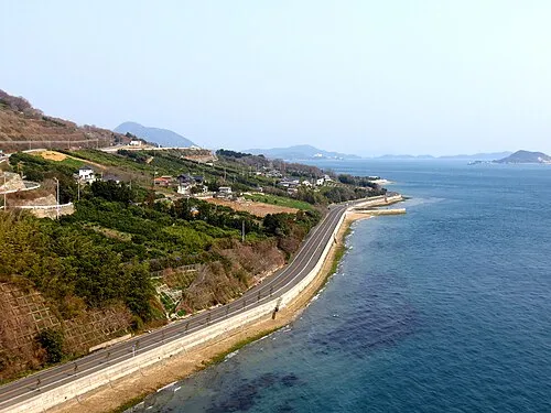 Ikuchi Jima Island, Hiroshima32 km SW
-
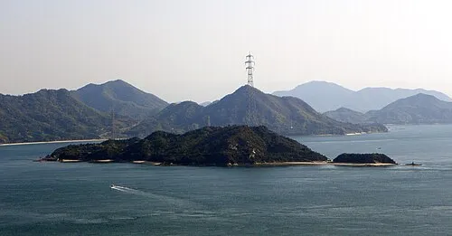 Ōkuno Shima Island, Hiroshima40 km W
-
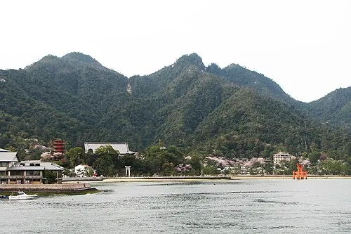 Itsuku Shima Island, Hiroshima103 km W
-
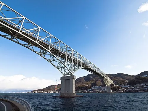 Kurahashi Jima Island, Hiroshima88 km SW
-
 Nino Shima Island, Hiroshima90 km W
Sources & licences
Data last updated: · 2 independent sources